|
I’ve been behind on the blog game…but I’m back in business and happy you’re here! My buddy Jacob and I just completed another section of the Colorado Trail. This year we opted to double back and complete the Collegiate West loop of the trail. We have hiked everything from Waterton Canyon (Denver) to Spring Creek Pass (Lake City). Two years ago we had planned to do the west side, but deep snowpack altered our plans and we took the lower East loop at the Twin Lakes split. It had always been our plan to hike both options so we decided to knock out the west this year as it’s likely we will finish the CT next year and we’d like to finish in Durango rather than at an obscure trail junction. 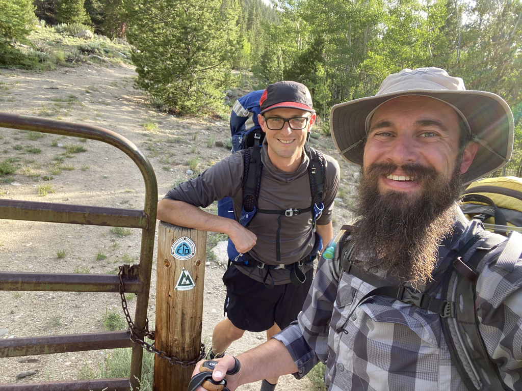 Day zero had us at Twin Lakes on a Friday evening. We opted to stroll in a couple of easy miles and camp, setting us up for a full Day 1 on Saturday. 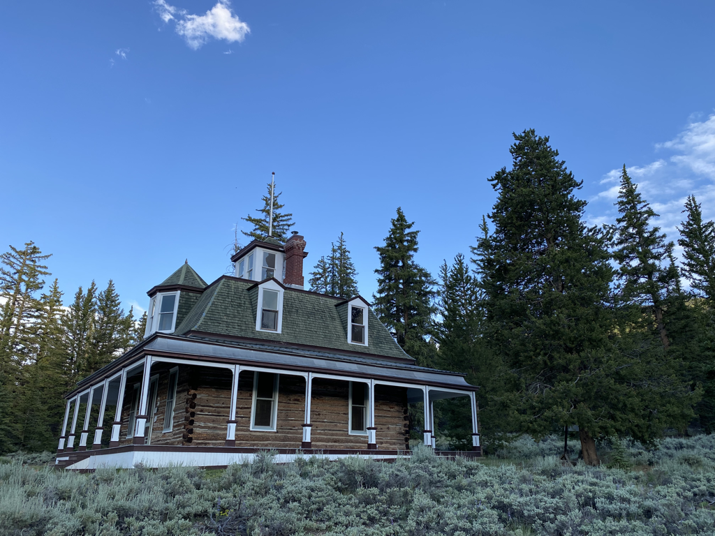 Quick cruise by the historic Interlaken Hotel site. 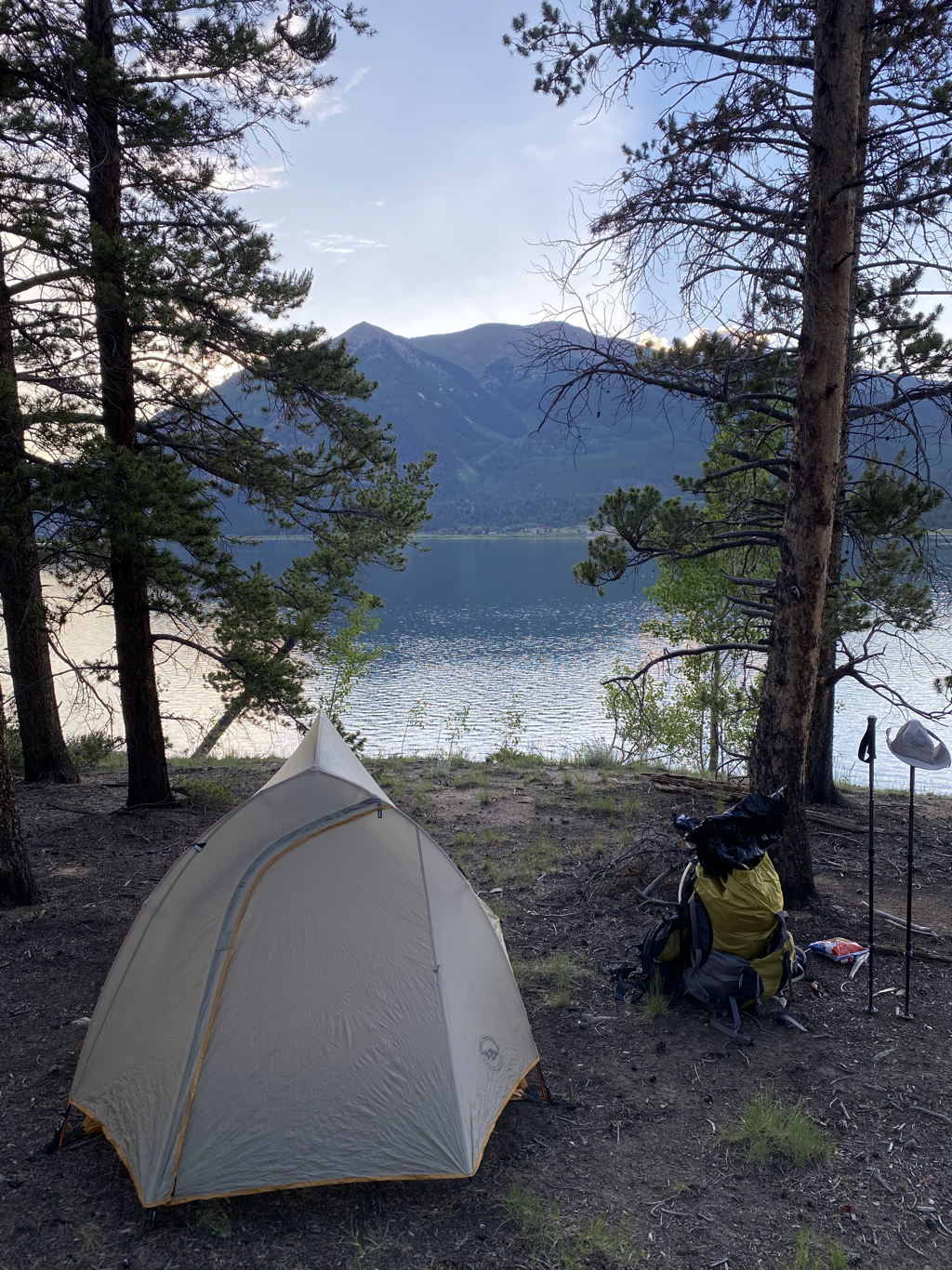 Camp at Twin Lakes. 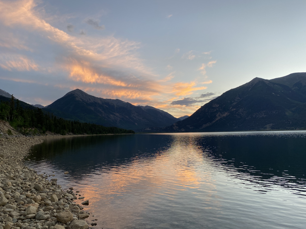 A lovely sunset in the Rockies. We sipped a little whiskey and climbed into tents for the true Saturday morning start. 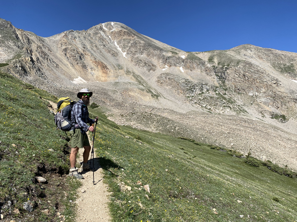 Day 1 had us cruising up immediately. The Collegiate West option is the same trail as the Continental Divide Trail (CDT) so naturally it spends a large amount of time up high….predominantly over 10,000ft. 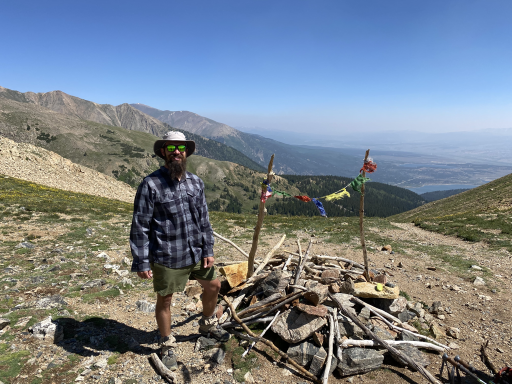 We cranked hard out of the gate and soon found ourselves at 12,508ft on Hope Pass. It was a solid climb and the temps were creeping higher by the hour. 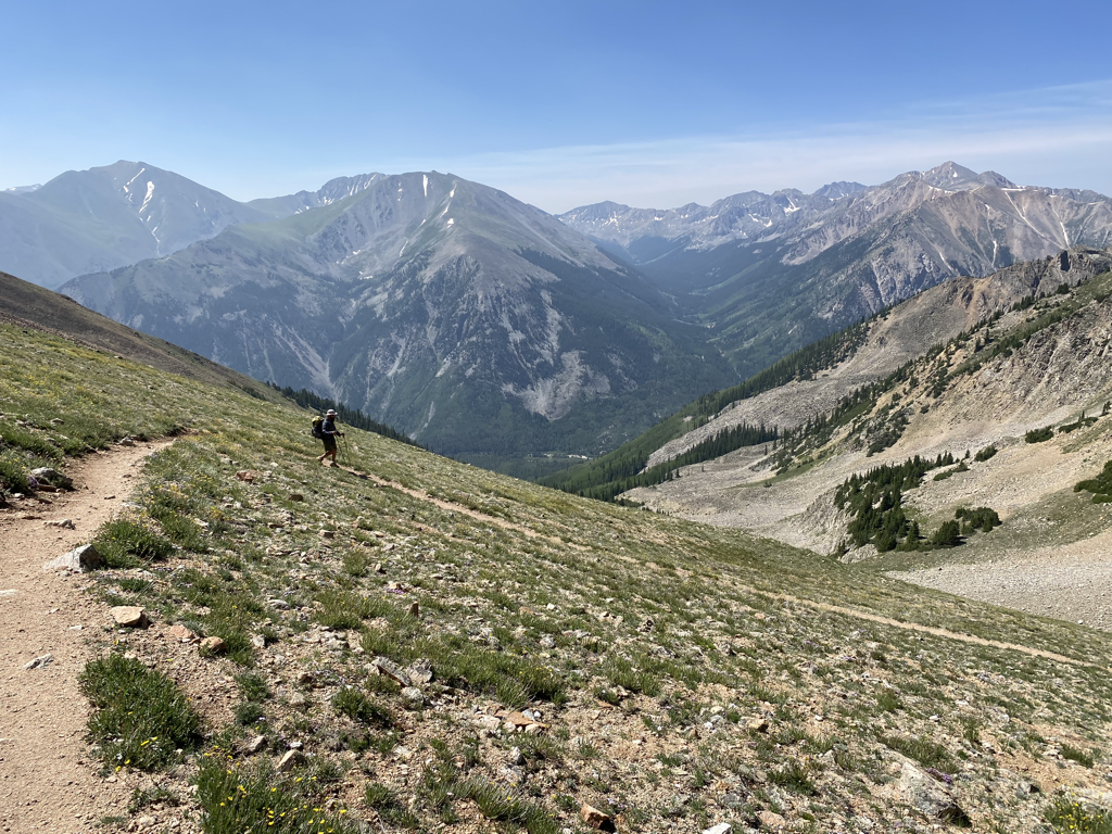 Descending Hope Pass. 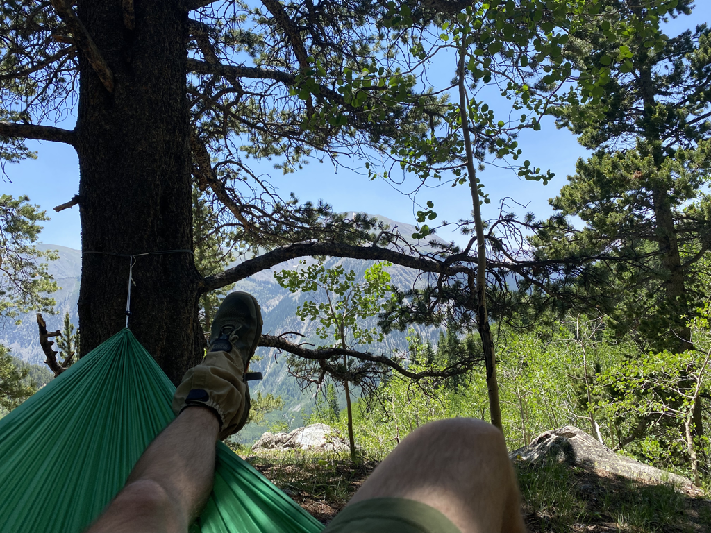 Hammock lunch. At just over 6 ounces, the hammock is a pretty light luxury item and the ability to get one’s feet up on occasion is absolutely worth the weight. 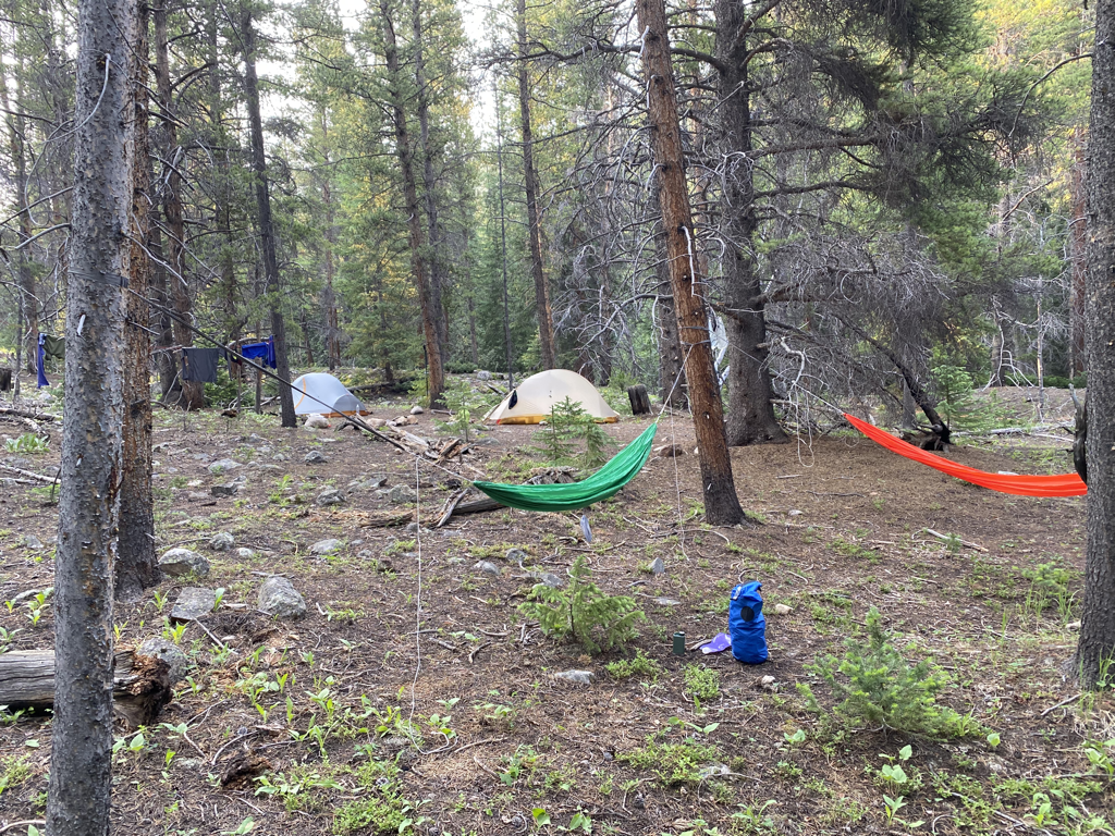 Camped for the night near the North Fork of Clear Creek - 10,365ft. More hammock time. 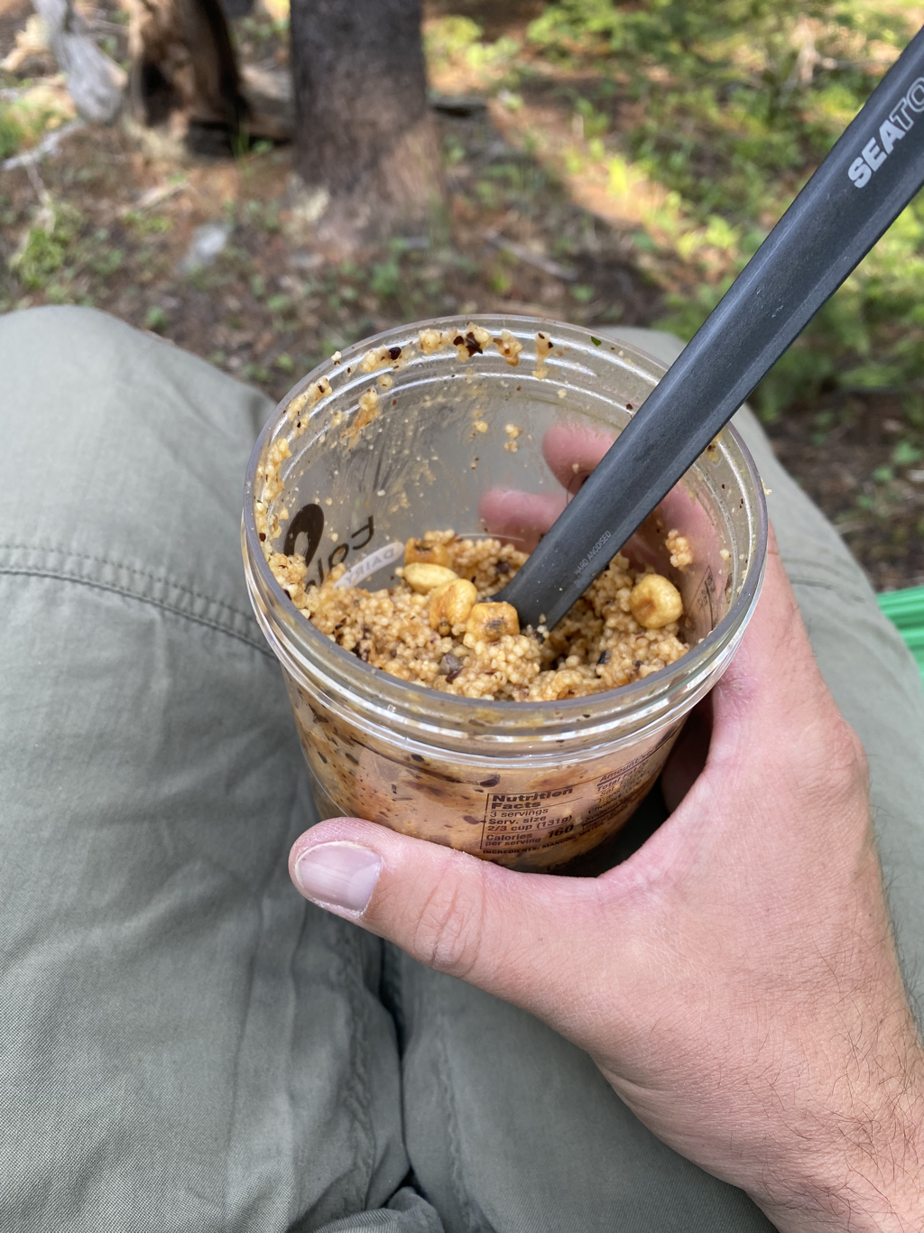 Gourmet cold-soak dinner of couscous and corn nuts. Bon appetit. 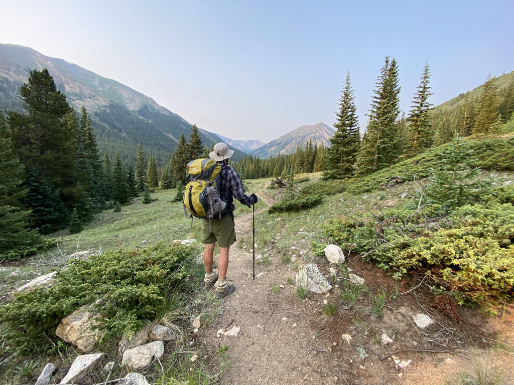 Day 2 took us up and over Lake Ann Pass. Another gorgeous and cool morning to be hiking. 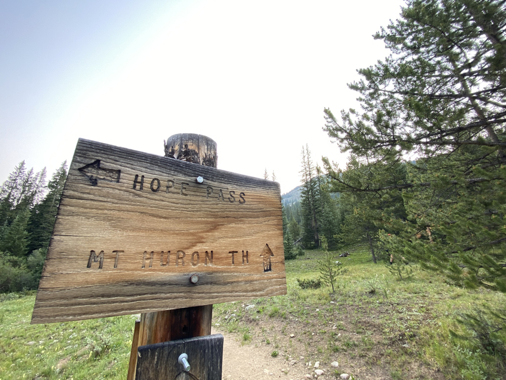 On the way toward the pass we crossed the trail for Mt. Huron (one of Colorado’s infamous 14ers). We didn’t make the side trip as we had a big day, but because Lord Huron is one of my favorite bands, I needed a pic of the sign. 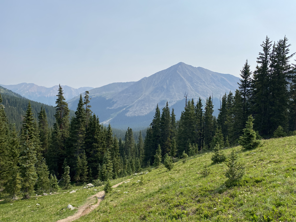 Mt. Huron from the south. 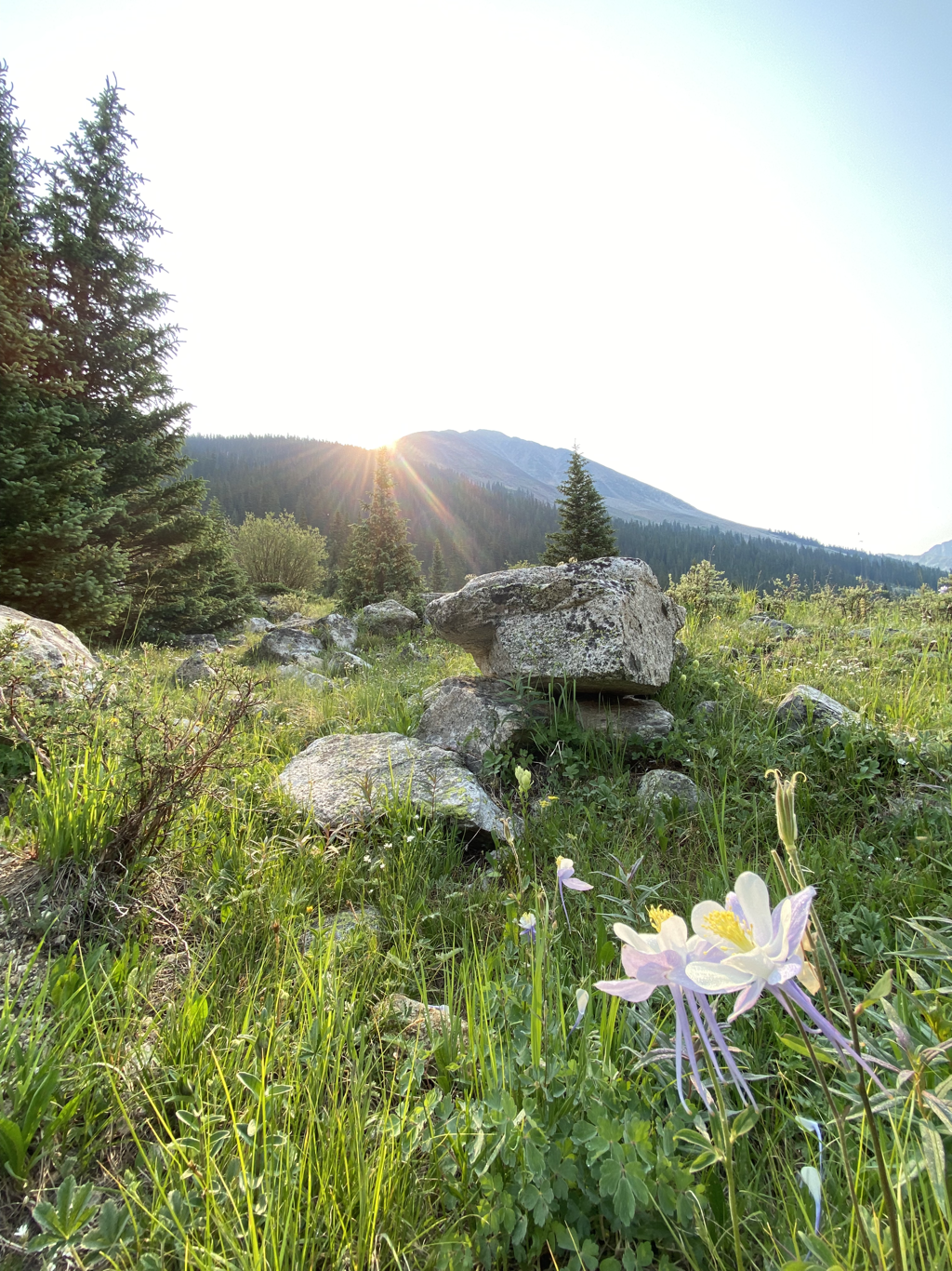 We also entered the Collegiate Peaks Wilderness. 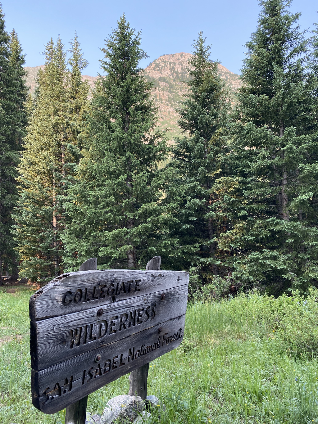 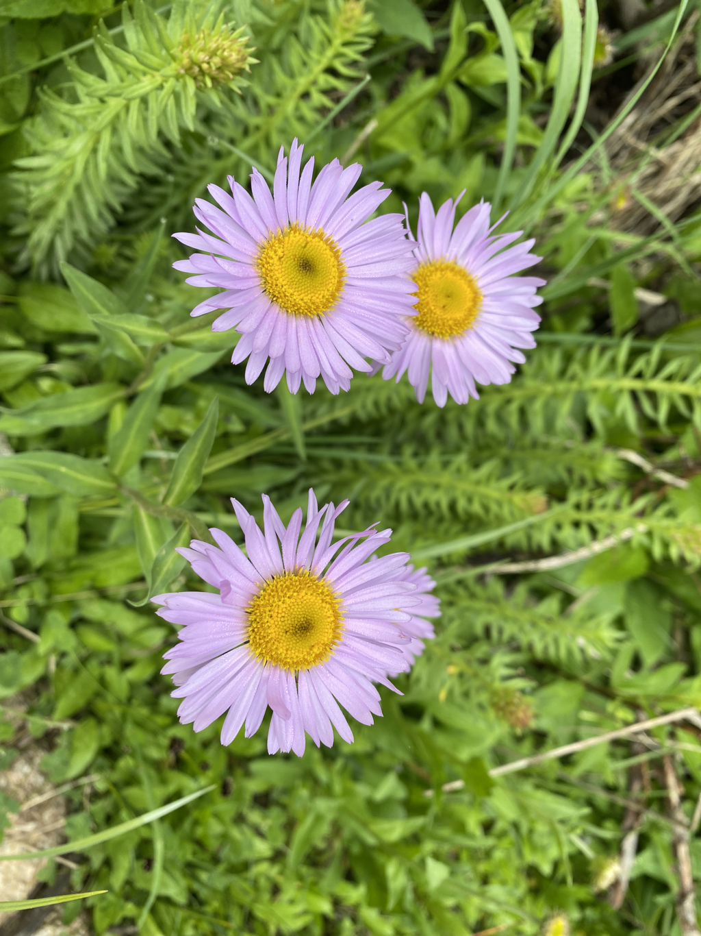 Lots of wildflowers in the Collegiates. My mom always took close-ups of flowers when I was a kid so I like to keep that up. Hope you enjoy mom. :) 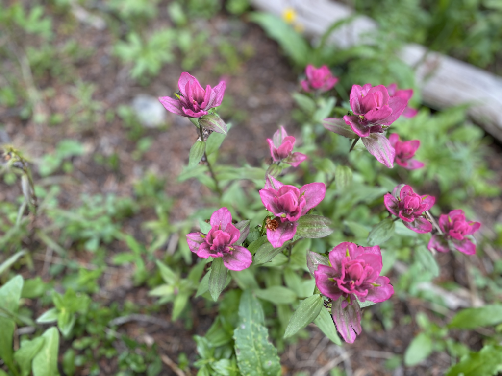 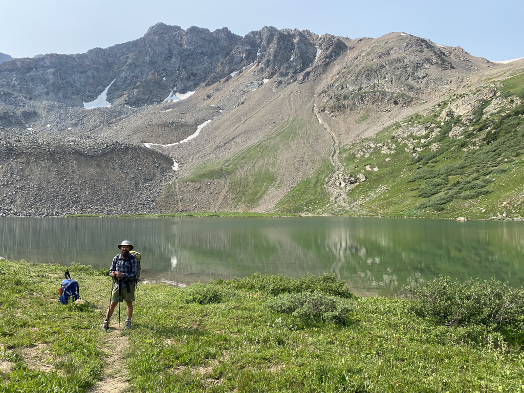 We made it to Lake Ann (below the pass) around 9:00am. The Rockies are home to many alpine lakes and the feeling of standing alongside one that is only accessible by foot is quite an experience. So is jumping in. :) 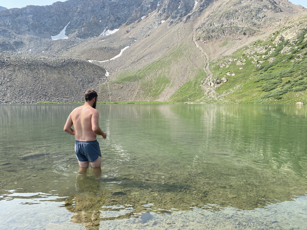 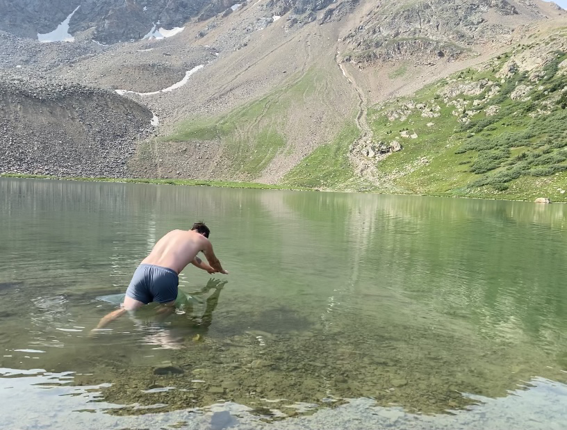 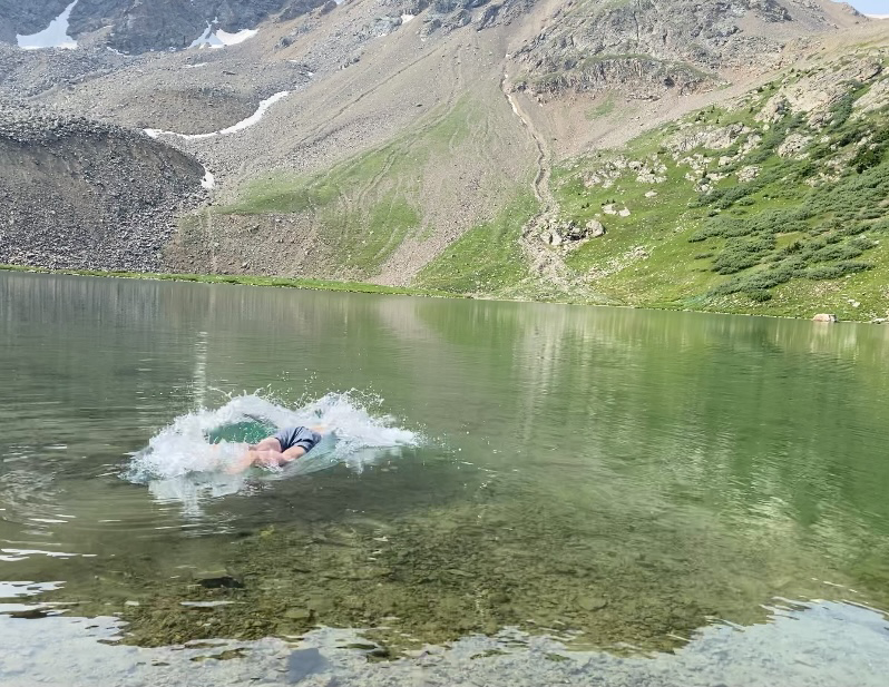 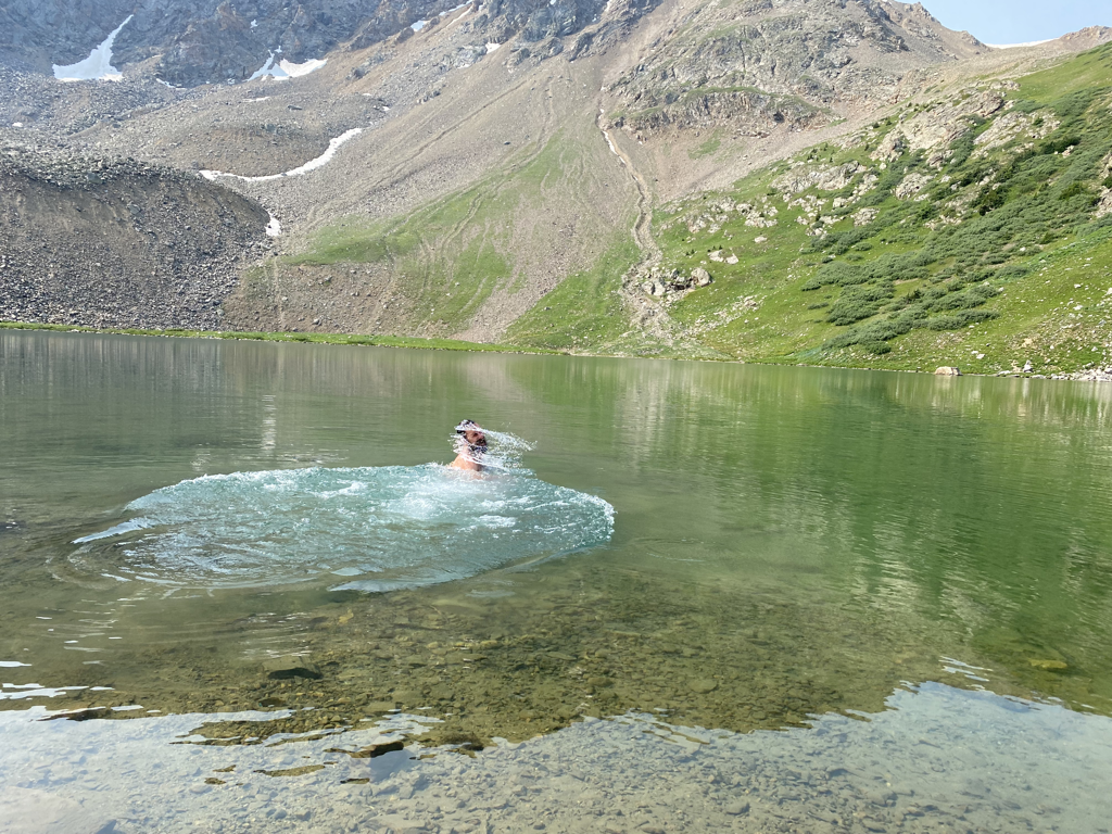 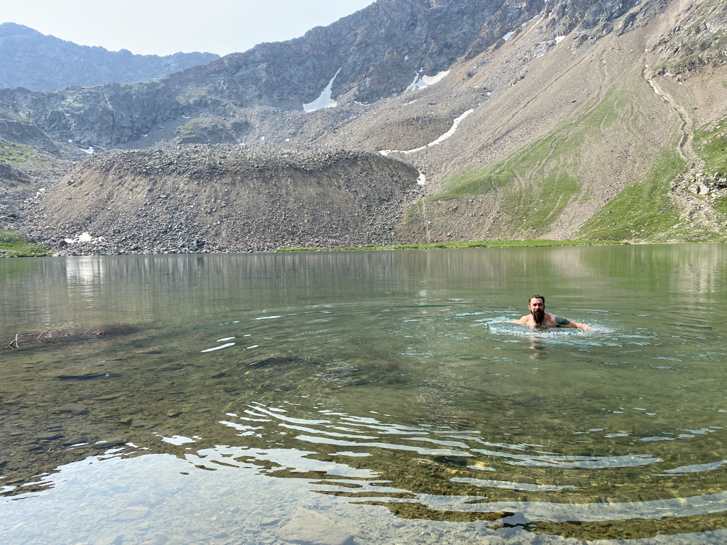 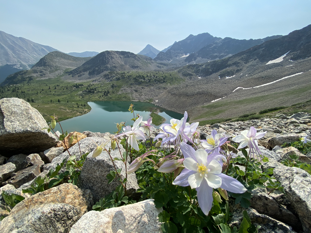 Columbines over Lake Ann as we headed up toward the pass. 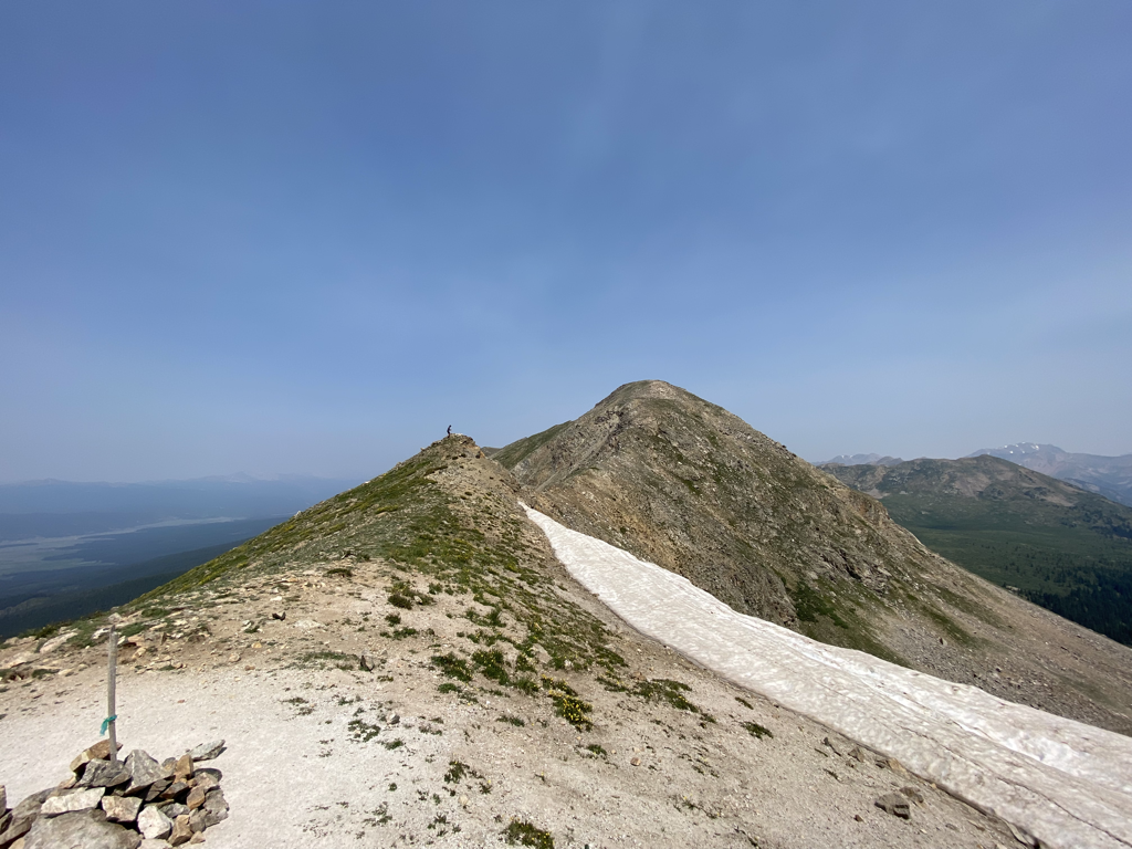 Lake Ann Pass - 12,601ft 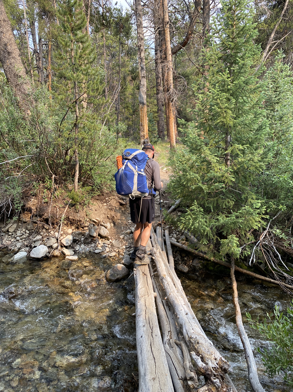 Jacob crossing a creek. 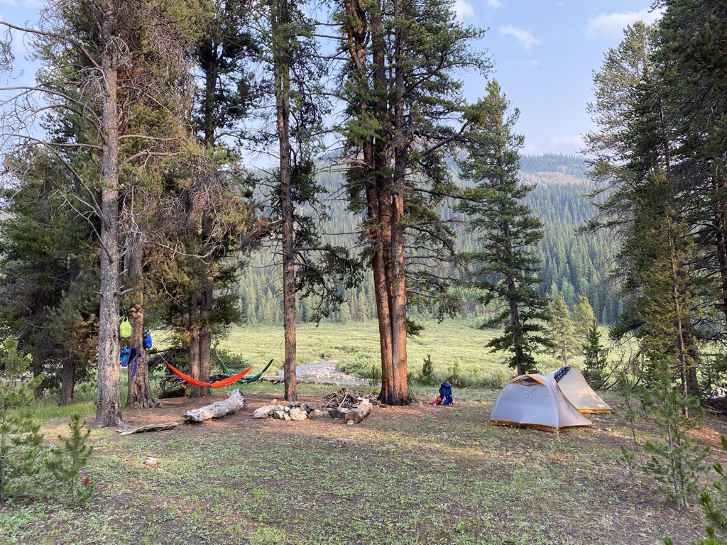 Our stellar camp for the night near Texas Creek. The water just just beyond the trees and we had another opportunity to rinse off before bed. 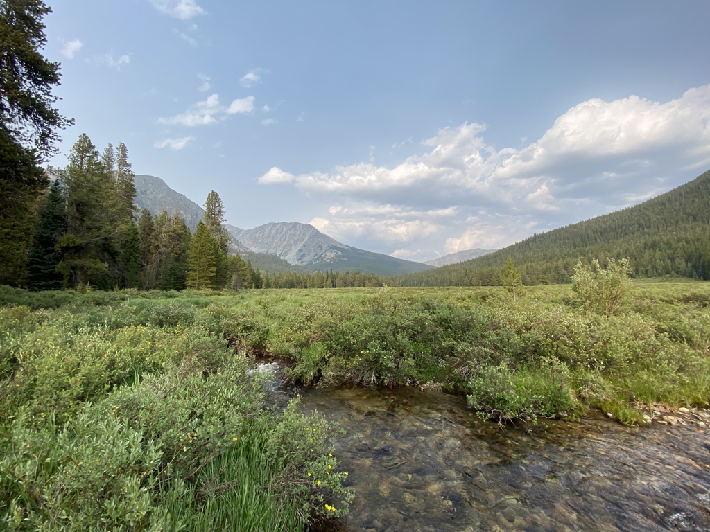 Also hammocks… 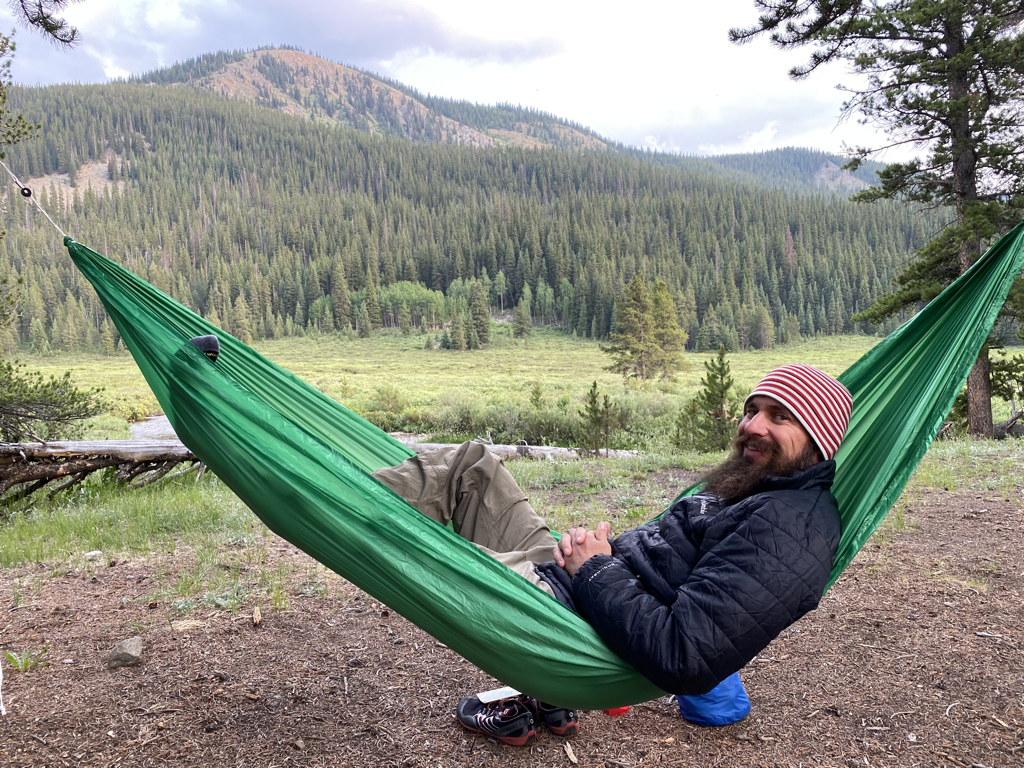 …and whiskey ;) 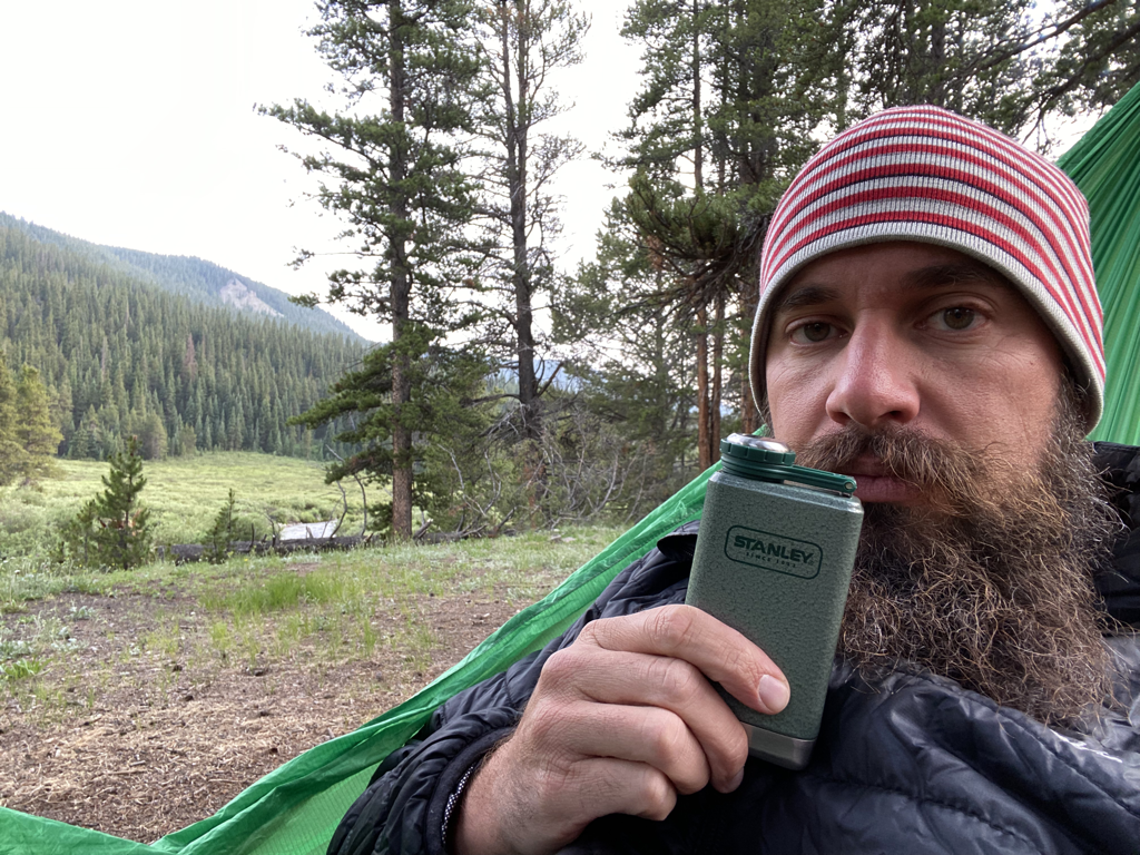 Day 3 sent us up and over Cottonwood Pass. 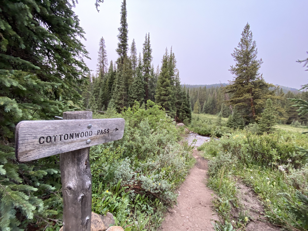 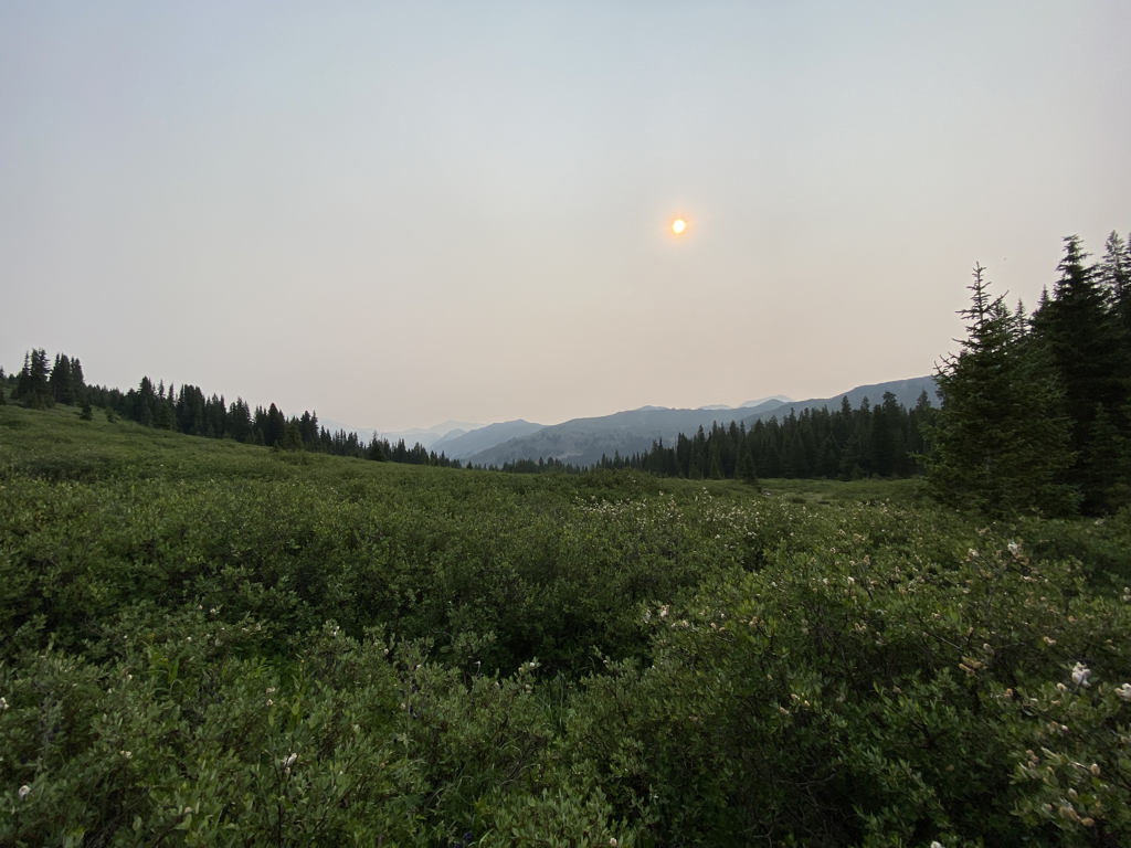 Lots of smoke in the air from fires across the west. That’s the sun behind the smoke. 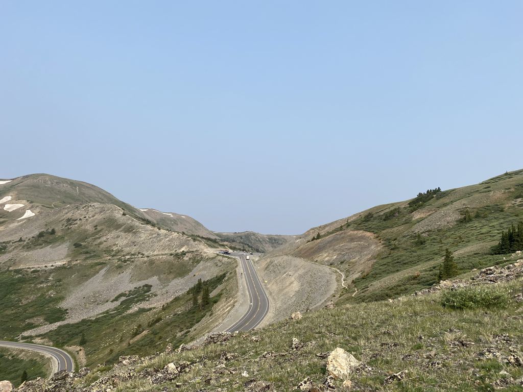 Approaching the pass. We got some trail magic from Peaches and her parents at Cottonwood. 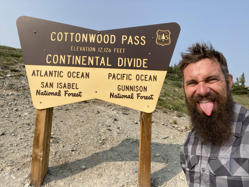 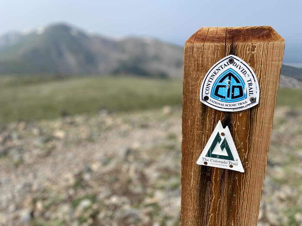 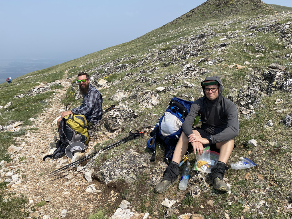 Snackville a couple miles beyond the pass. 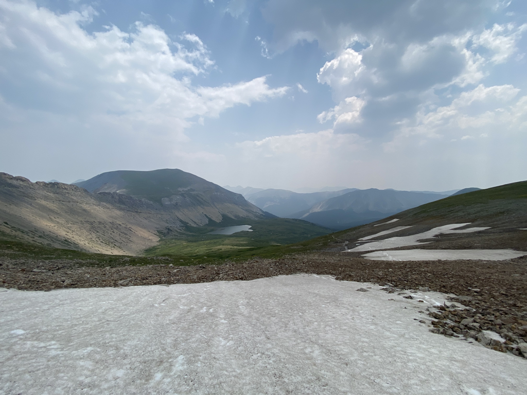 Still a touch of snow left up high. Colorado is tall. 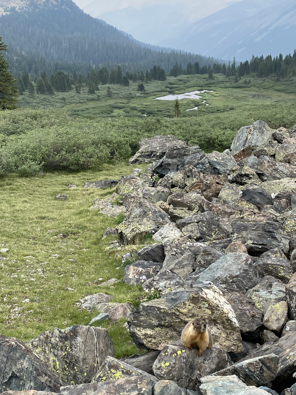 Fat marmot. We saw a TON of marmots up high. 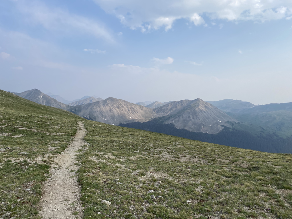 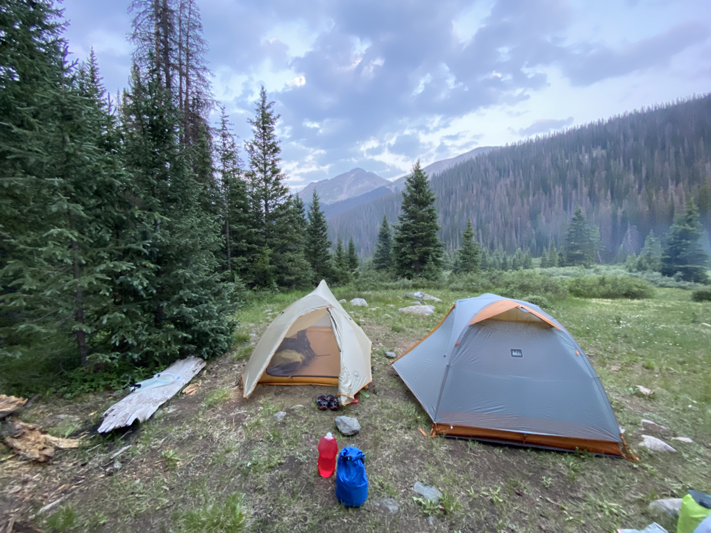 Camp tonight was at the North Fork of Chalk Creek - 11,116ft. 22 miles today, over the continental divide 4 times, and 15 trillion mosquitos at this campsite. It was a great day. 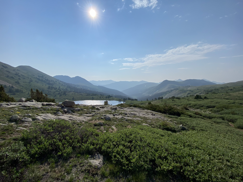 Up and at ‘em 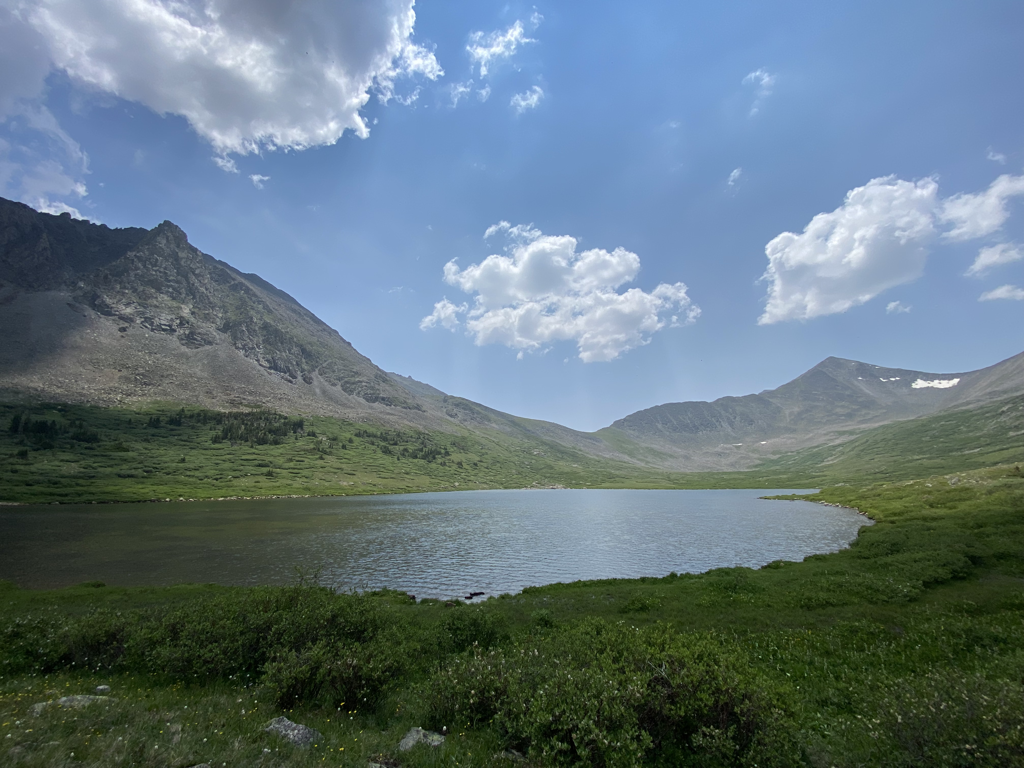 Many more alpine lakes today. 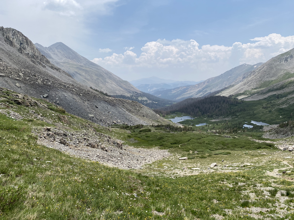  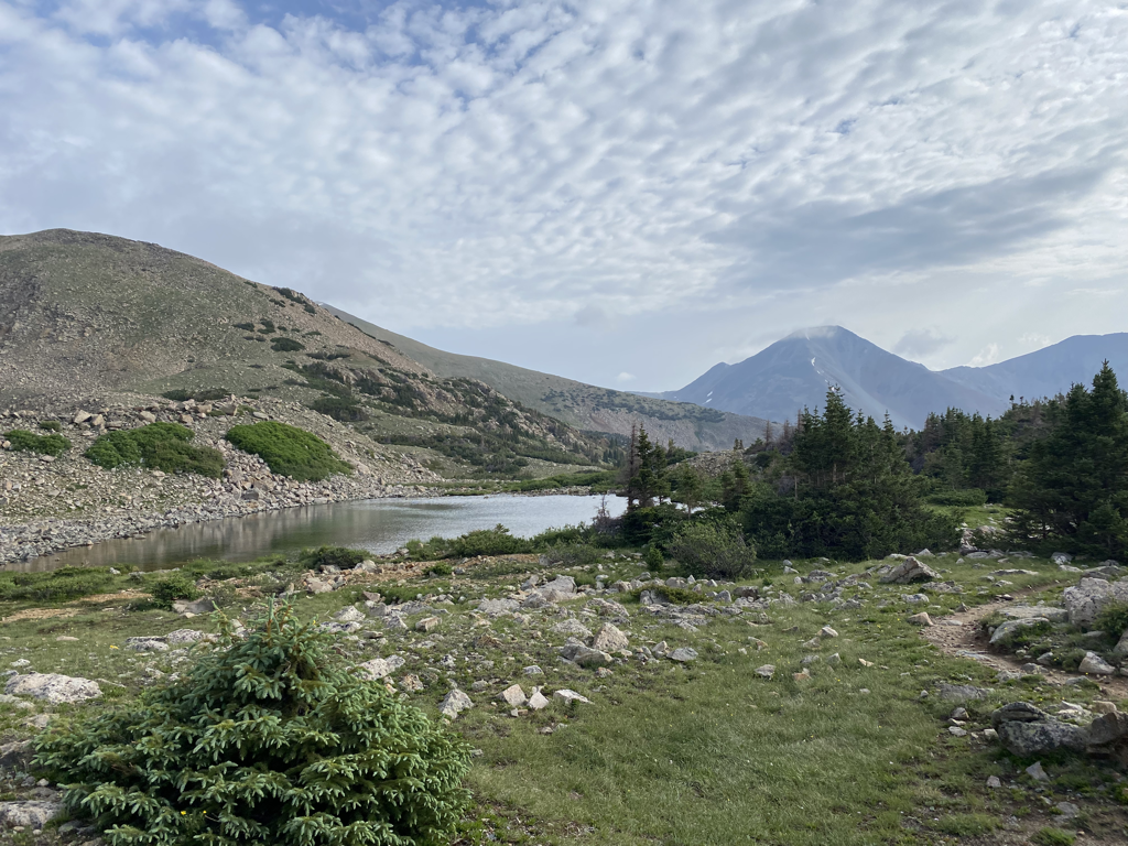 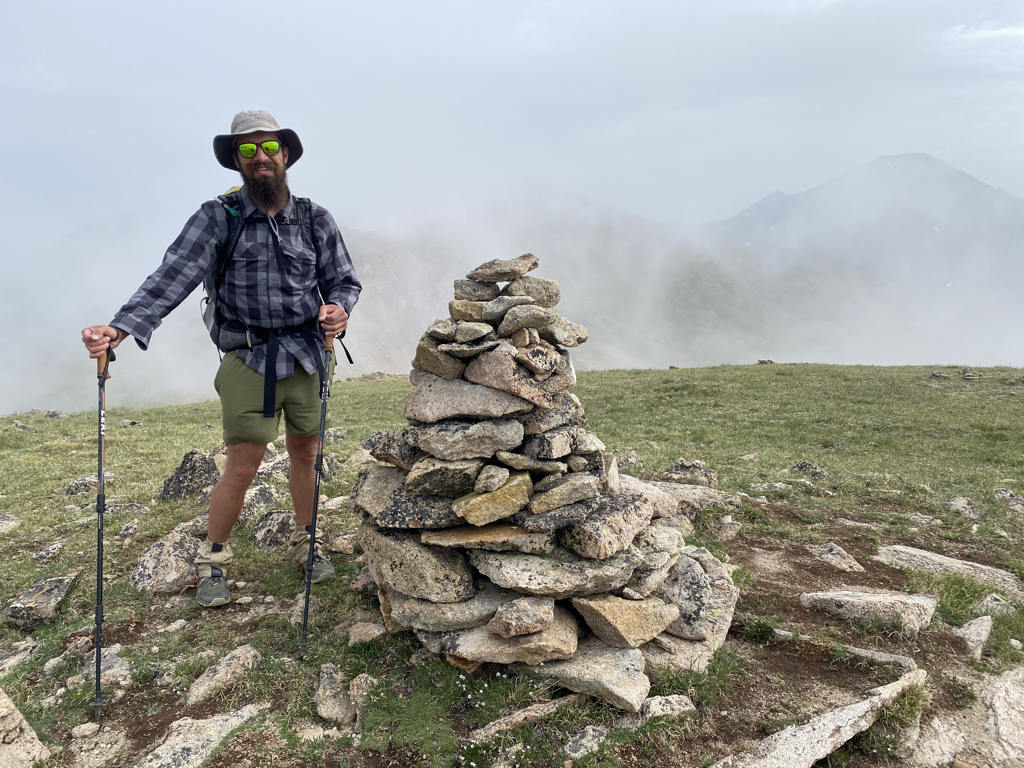 Today we hiked in the clouds. 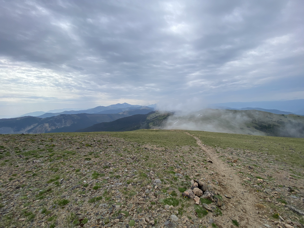 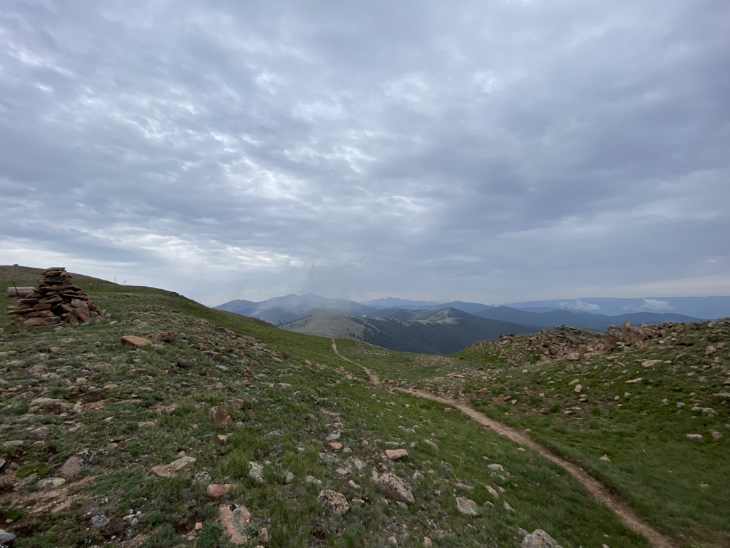 As today progressed, we conveniently descended down below treeline. Soon after the storms began blowing in. We camped on the North Fork of the Arkansas River after being rained on for the last hour or so of our walk. Unfortunately this is one of the few nights I didn’t get a photo of camp….because the rain became a bit torrential and we had quite a soggy night. Getting rained on is part of the game. 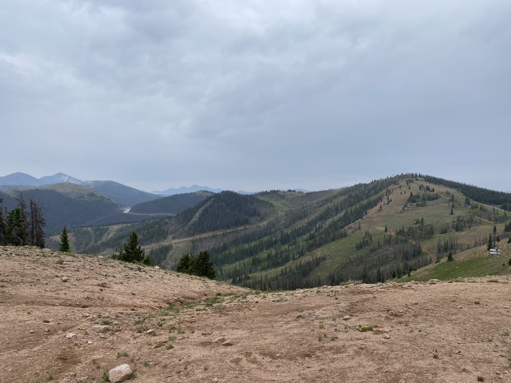 Day 5 took us up and over Monarch Pass. We buzzed through the ski resort itself as the trail weaved around lifts and signs for certain runs. It’s always strange to be on a resort without snow, but the walking was smooth and we made good time. 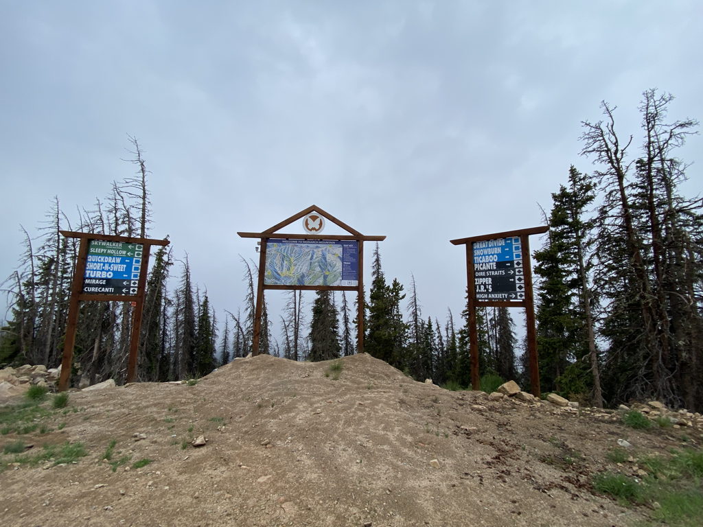 We walked along ridges today and saw a rockslide happen in real time which was really wild! We also crossed paths with Second Breakfast and she hiked with us all the way to the Monarch Pass Store. The rain began about halfway through the resort property and really didn’t let up the remainder of the day. 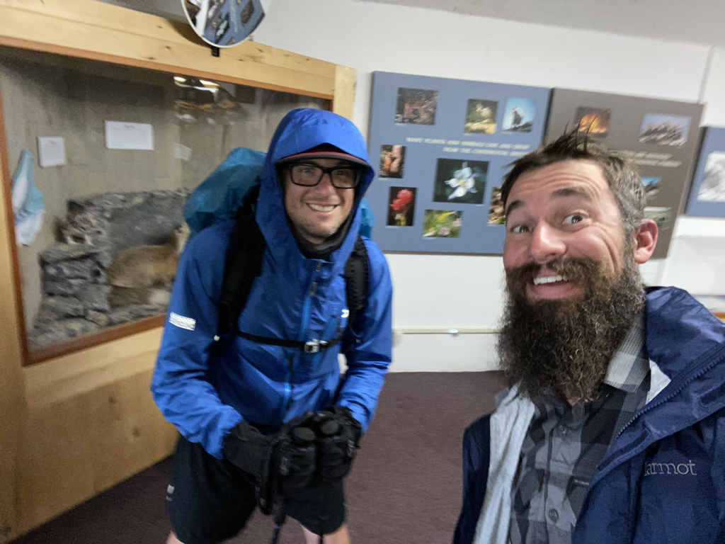 We hung out inside for a bit and had a snack before setting back out…still in the rain. After some deliberation, we decided as a team to push hard and see if we could reach my pickup before nightfall. 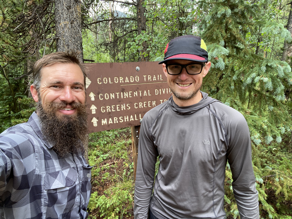 About 4:30 the rain let up…and at about 5:15 we hit the parking lot where my pickup was still waiting patiently! It was a 21 mile day in the rain but we were happy to have made miles and reached our goal of completing the Collegiate West portion of the CT! Due to the rain and wind, I missed quite a few cool photo ops. However, the ridges with the elements were stunning. While loading up in my truck, a bikepacker (yes, that’s right…backpacking, but on a mountain bike) came through and we gave away our last couple of snacks. It turned out to be Ryan Van Duzer, a guy from Boulder whose YouTube channel (go check it out) I have watched extensively. It was a cool way to finish the hike for sure! From here we rolled into Leadville for pizza at High Mountain Pies…then onto Frisco for a stop at Outer Range Brewing. Yet another excellent way to finish up an excellent trip with an excellent friend!
Cheers y’all! Now go play outside. bc It was time....Colorado was calling, again. Last year my buddy Jacob and I set off on our Colorado Trail adventure...hiking from Waterton Canyon just outside Denver, to Highway 9 in Breckendrige. This year we picked back up at Breck, and headed southwest, covering 163 miles in 10 days. The heavy snow this past winter added some interesting challenges, but we navigated our way through and had a fantastic mountain adventure. Here we go...  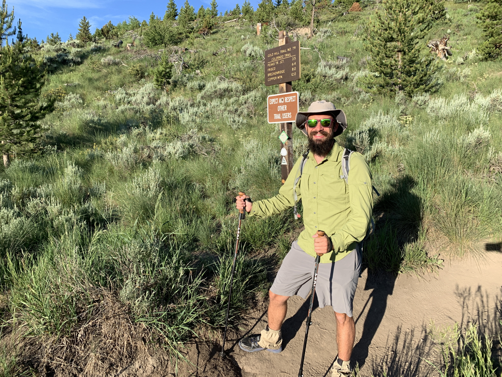 Day one had us up early and headed out of Breckenridge at Gold Hill Trailhead (Hwy 9). The trail would take us up and over the Ten-Mile Range and along the back side of the Breckenridge Ski Resort.  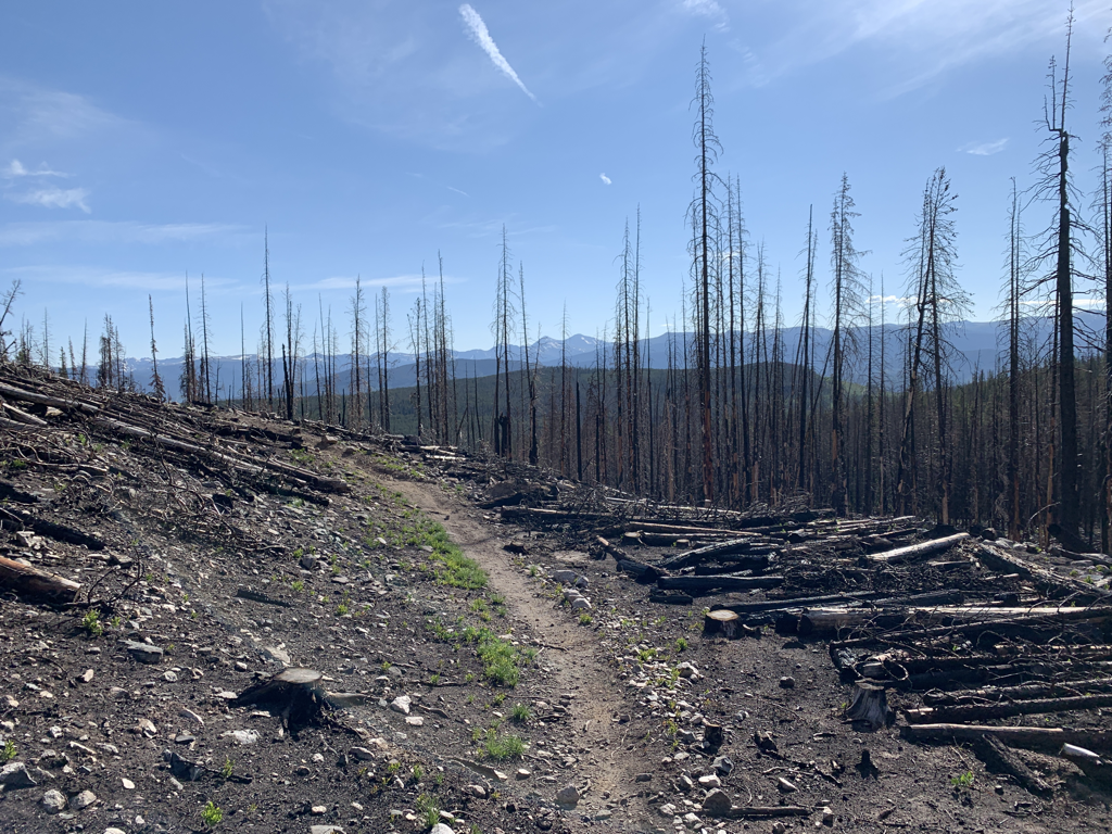 Cruising through the wildfire scar from a few years ago. 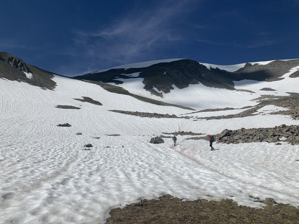 Headed up the ridge. Due to record snowfalls this year, the snowpack lingered far into the summer. This was just the first of many areas where the trail disappeared into the white abyss. Thankfully most of the navigation was relatively smooth. 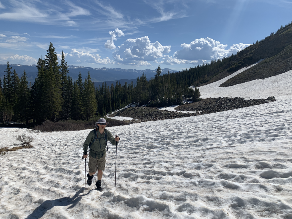 Jacob crushing the snow-covered uphill. 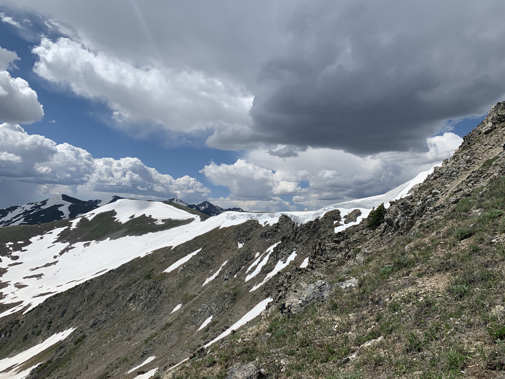 A snow cornice hanging off the top of the ridge. At least I think it’s called a cornice. I’m from Oklahoma, so I’m going with cornice. We don’t have a lot of cornices here. I think it’s a cornice. It was a cool cornice. 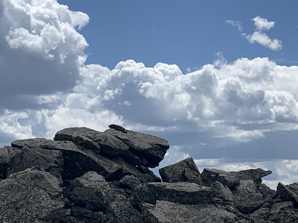 Can you spot the marmot? 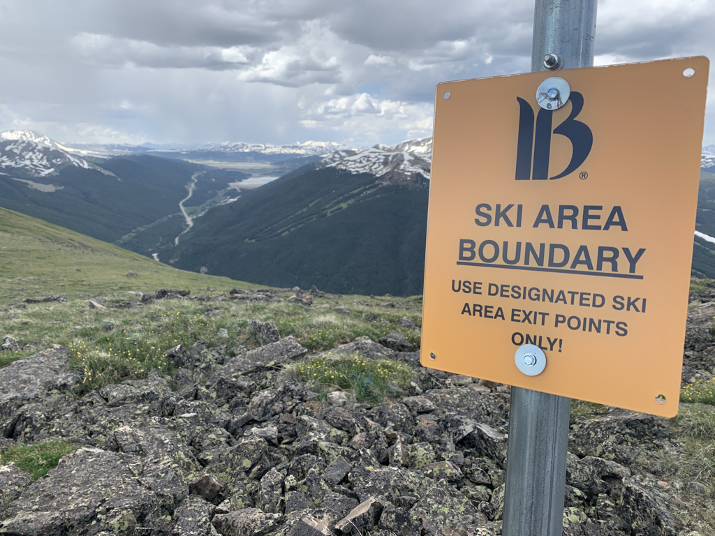 It was cool to see the Breckinridge Ski Area boundary. The summer changes the perspective of the mountains in such an awesome manner. 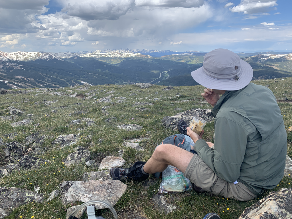 A quick lunch overlooking Cooper Mountain. 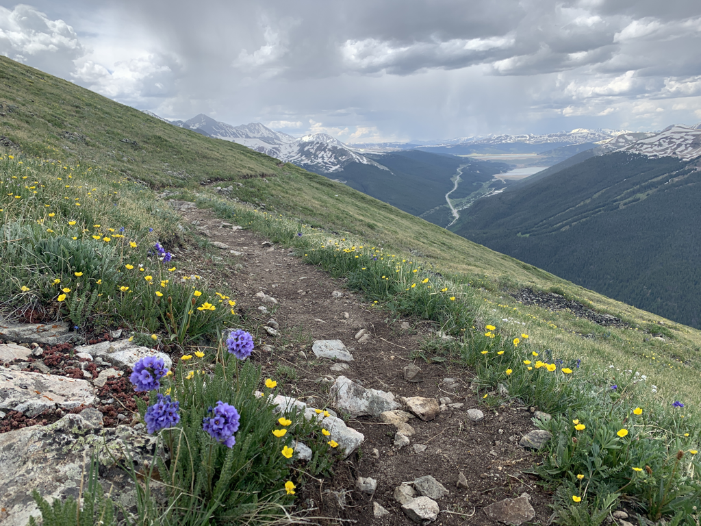 Headed down the backside towards Cooper Mountain. Afternoon thunderstorms were rolling in so we absolutely began the downhill hustle. Very little rain hit though, it was mostly behind the next ridge. There was some light sleet as well. 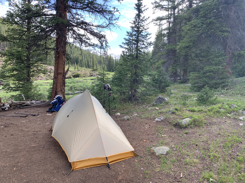 Camp set up after 19.2 miles. 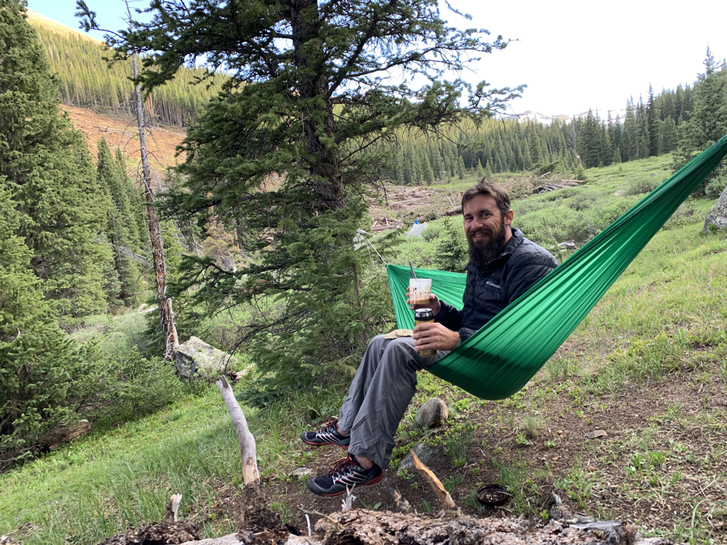 Hanging out enjoying our fantastic dinner. At Copper Mountain, we snuck over to the gas station and, like good little hikers, picked up a couple tallboy Voodoo Ranger IPA’s. Dinner was cold-soak this year....no stove at all. It worked very well and I looked forward to dinner each night! Couscous, refried beans, tortilla soup mix, and powdered cheddar. It was similar to a cheese enchilada, and tasted great. 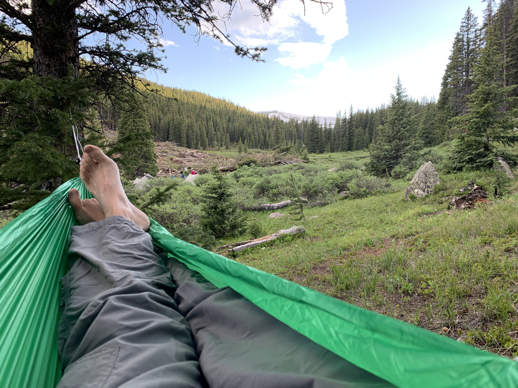 The absolute best gear purchase I’ve made in the past few years is this Hummingbird Hammock. It’s 5.2 ounces, and the straps are a mere 1.2. The ability to get pressure off my feet at the end of the day (and often during lunch) made a tremendous difference in endurance. I highly recommend this Colorado-based company. 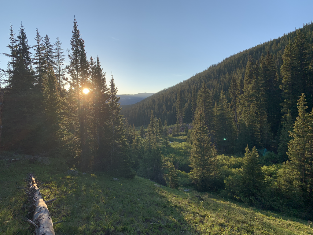 A clear Colorado sunrise on day two. 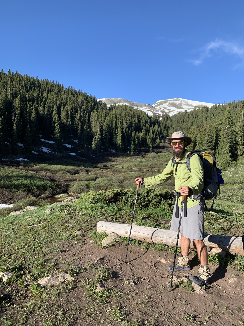 Moving into the sunshine. We would continue up the valley towards the pass...and the snow. 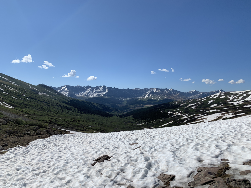 Top of Searle Pass - 12,034ft. The views were tremendous. 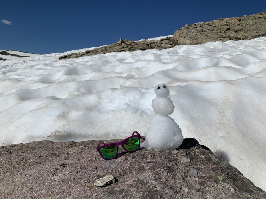 Made a friend for us to talk to! 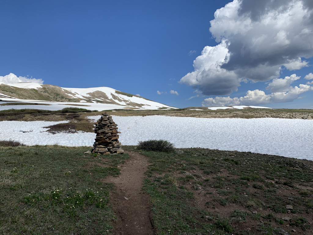 Looking back as we descended Searle Pass. 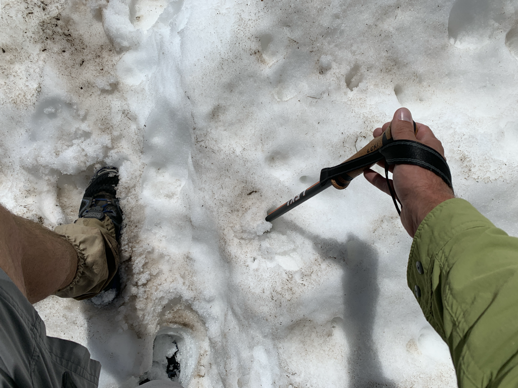 The snow was mostly stable, with the occasional surprise posthole. The fun part was that when you got surprised...it was generally a big one. You can’t see my right leg, but it’s buried. Obviously my hiking pole went deep as well. Wet feet and fun times! 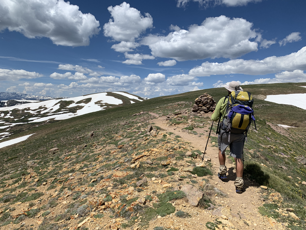 Cruising the ridgeline. 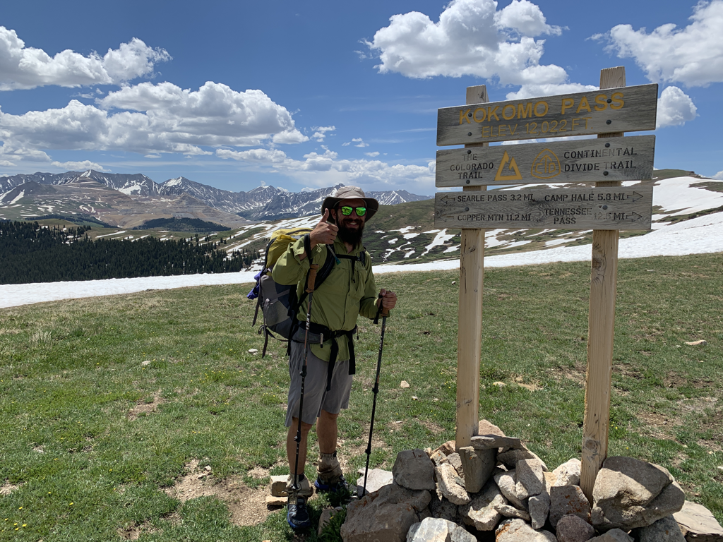 A short time later and we were on Kokomo Pass at 12,027 feet. 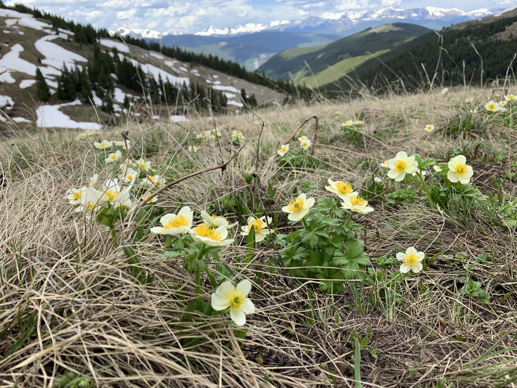 Flowers 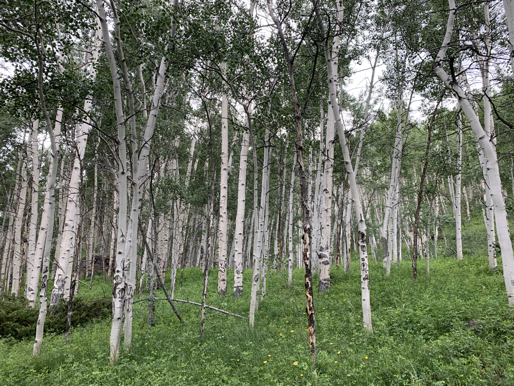 Aspens 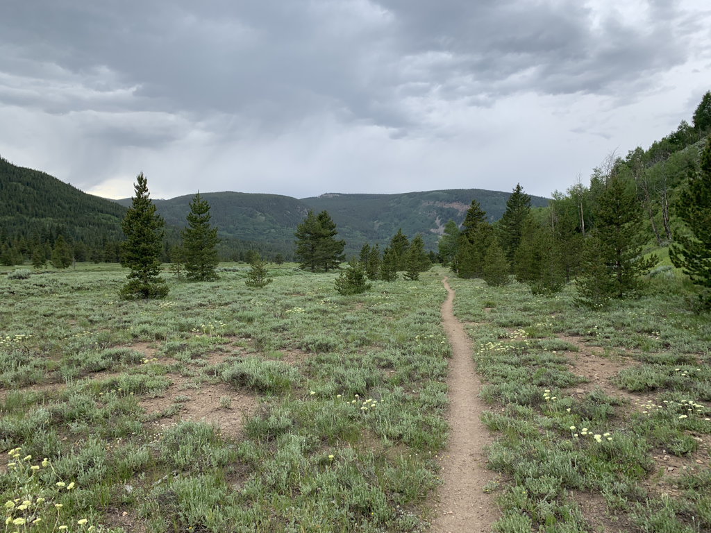 Miles 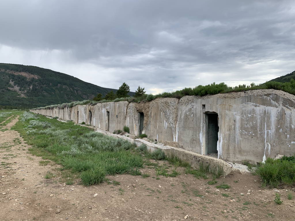 Coming into Camp Hale. This historic site from the 1940s was a training camp for the US Army and spawned the infamous 10th Mountain Division. The hut system in Colorado is named for these alpine-trained soldiers. Camp Hale mostly consists of this long from of bunkers. Apparently there are mines buried in the area too, so wandering off trail isn’t advised. 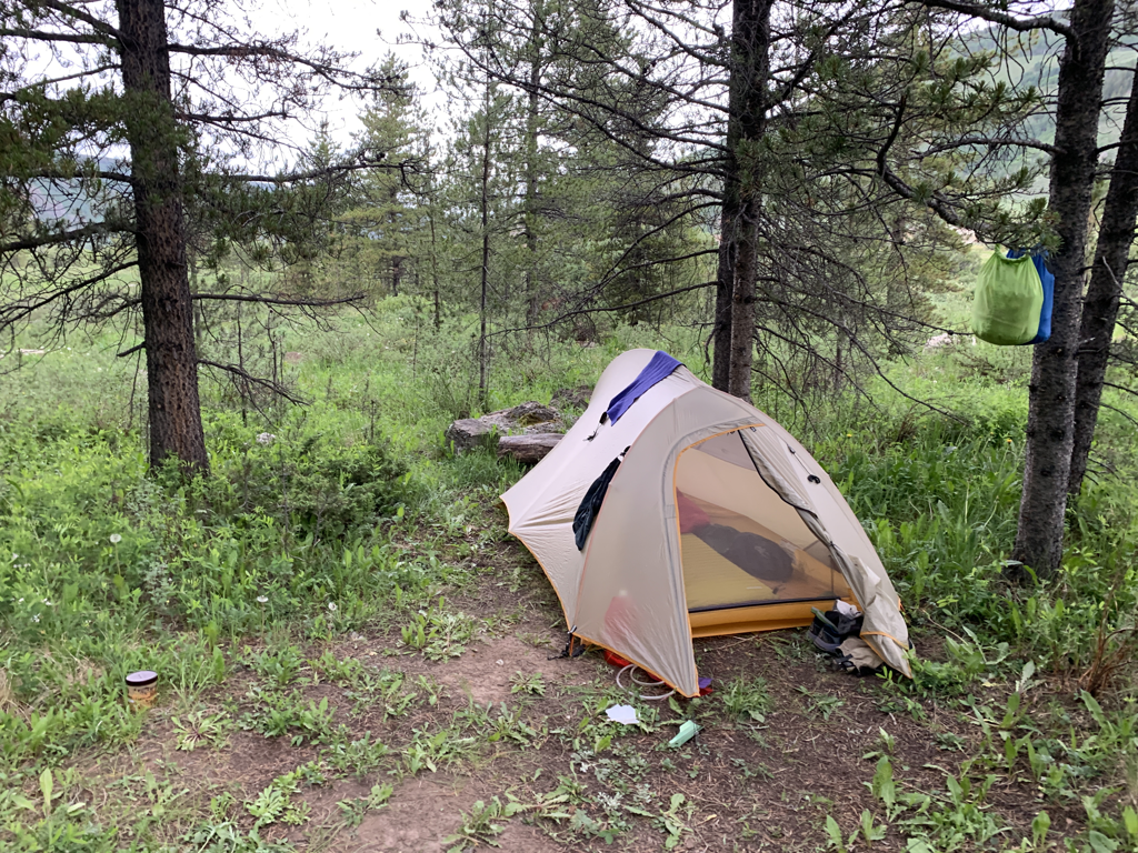 We tucked into the trees at the edge of the valley and waited for the rain. Thought it was only a 12.9 mile day, we were pooped after crossing two passes and navigating more snow. It was nice to crash early. 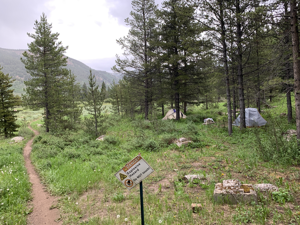 Camping behind the explosives sign! Safety third.
Stay tuned for day three and beyond! Go outside. bc The Ouachita National Forest extends from west of Little Rock all the way into southeastern Oklahoma near the sleepy town of Talihina. It’s a rare east/west mountain chain that features long rolling ridgelines, miles of dirt access roads, and numerous hiking and recreation opportunities. Early spring is a great time to be backpacking...especially in Arkansas...and the desire to slip out of town for a few days was, to say the least, burning. Cue up the Eagle Rock Loop. This popular weekend loop runs 26 miles over ridgelines, underneath pine groves, and through numerous river crossings. Most folks do this one in three days, as was the plan for this trip. Time to fuel the Tacoma and crank it east. 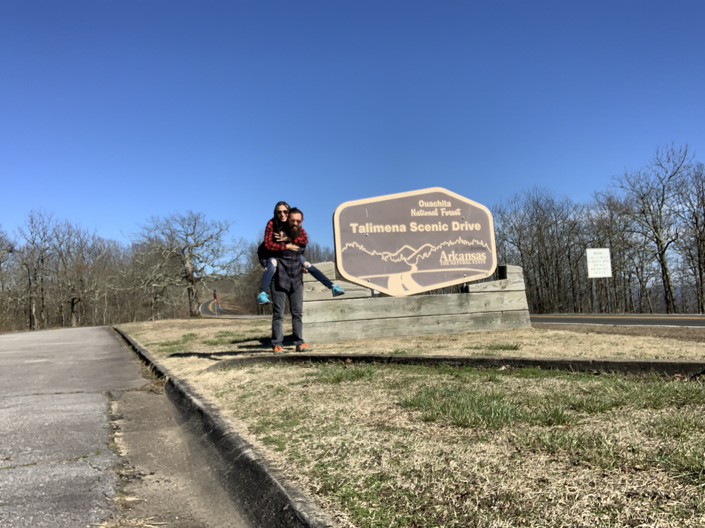 I’ve had the fortune lately to date a fiery young lady who, much akin to myself, prefers to be sans roof as often as possible. Though she has hiked and camped forever like I have, this trip was Erin’s first foray into backpacking. She nailed it. We took the scenic Talimena Drive on the way out. If you’ve not driven this highway, you’re missing out on 54 miles of hills, curves, and expansive views. The drive runs from Talihina, OK to Mena, AR. Fall is the popular season...but I’ve driven it at various times of the year and never have been disappointed. Go check it out! 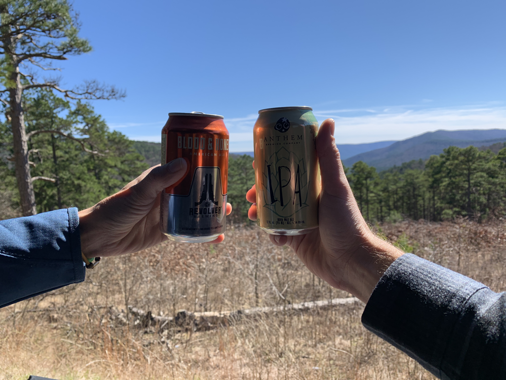 Mid-drive picnic stop. It was chilly and breezy so we backed the truck up towards the overlook and enjoyed a cold beverage and some lunch. 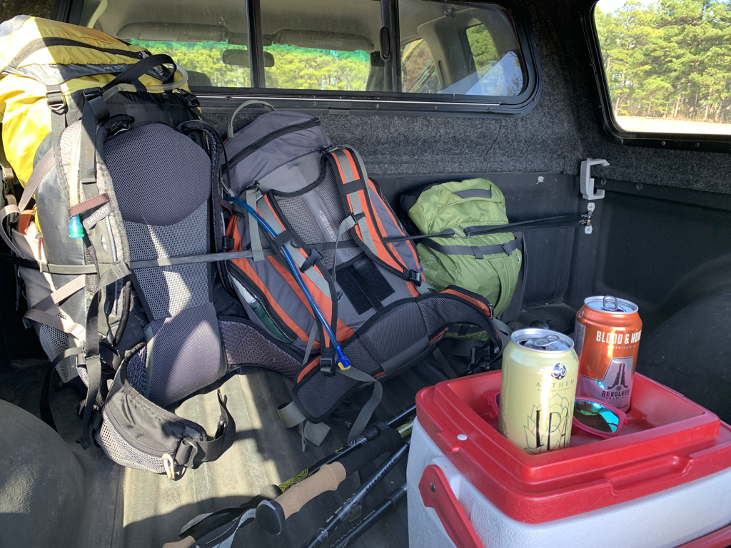 Taking refuge from the wind. All the gear is tucked up tight...ready to deploy! 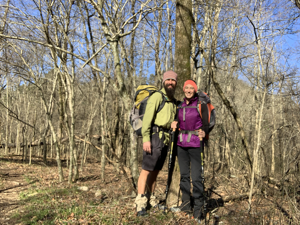 Time to launch! 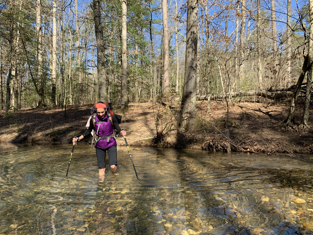 Within the first half hour or so we found ourselves navigating several wet crossings. Nothing too difficult this first day...but the continual on and off of shoes and socks slowed our pace some. Not to worry though, we enjoyed every minute and embraced the adventure. 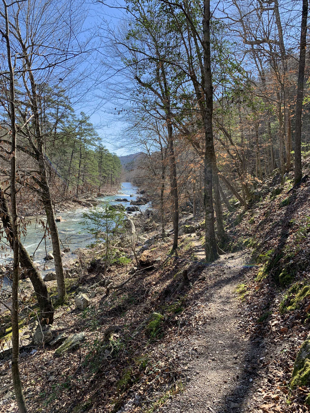 Arkansas features some of the prettiest backdrops in this part of the country. How can you argue with that green water?!? 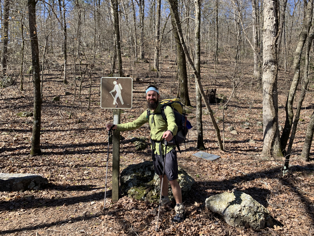 Hiker by a hiker sign. 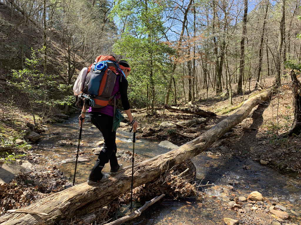 Sometimes nature lends a hand. 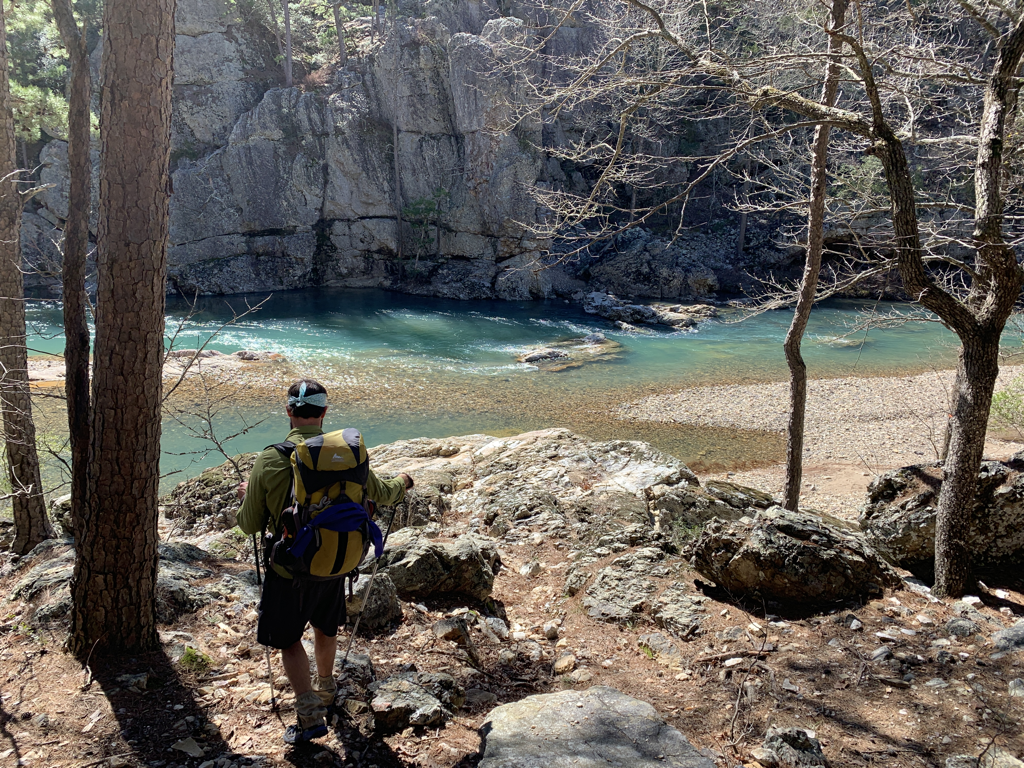 Seriously...this photo is in Arkansas. The water was so pretty! 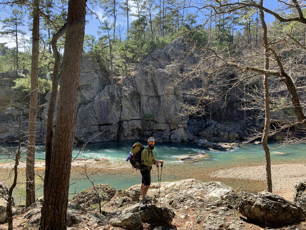 So pretty that I needed two pics in the blog just to emphasize the point. 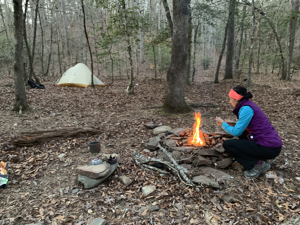 Camp One - we had a nice fire and some well-deserved dinner. Blackberry Lemonade makes me happy! (So did the booze we added....maybe it was just the booze) 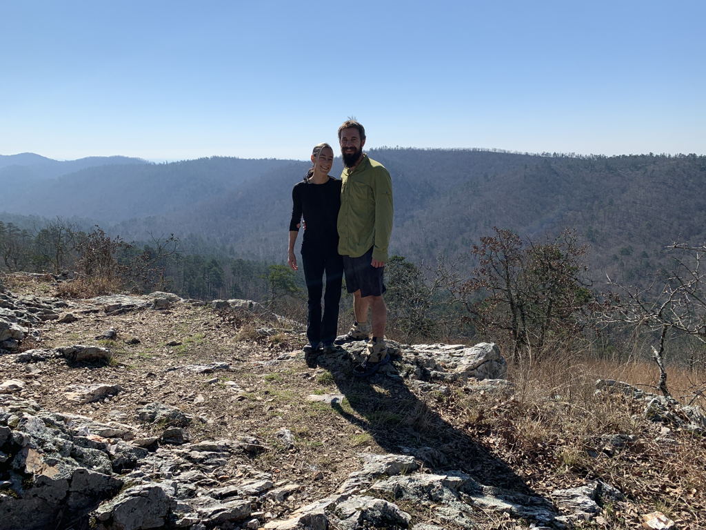 Sunny overlooks on day two. 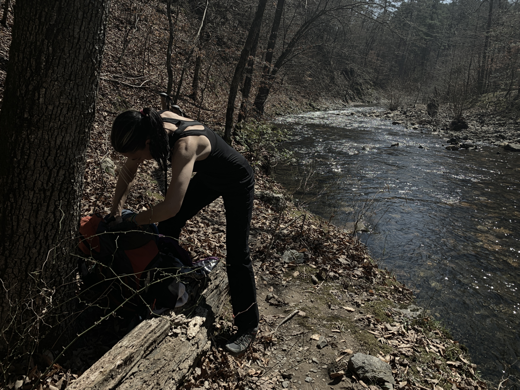 Another wet crossing...another shoe exchange. 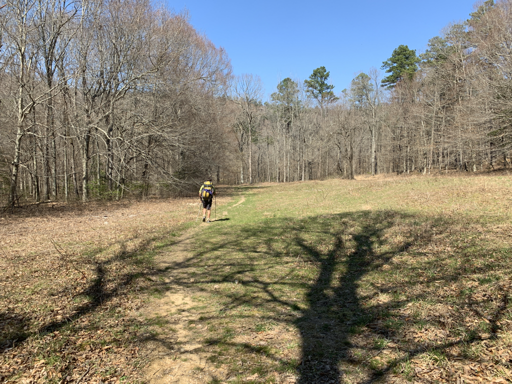 Meadow cruise. This loop really offers a wide variety of terrain. 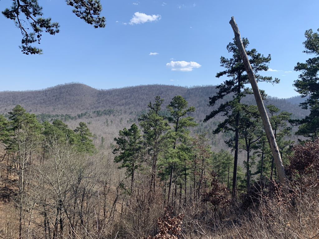 More sunny views of the ridgeline. 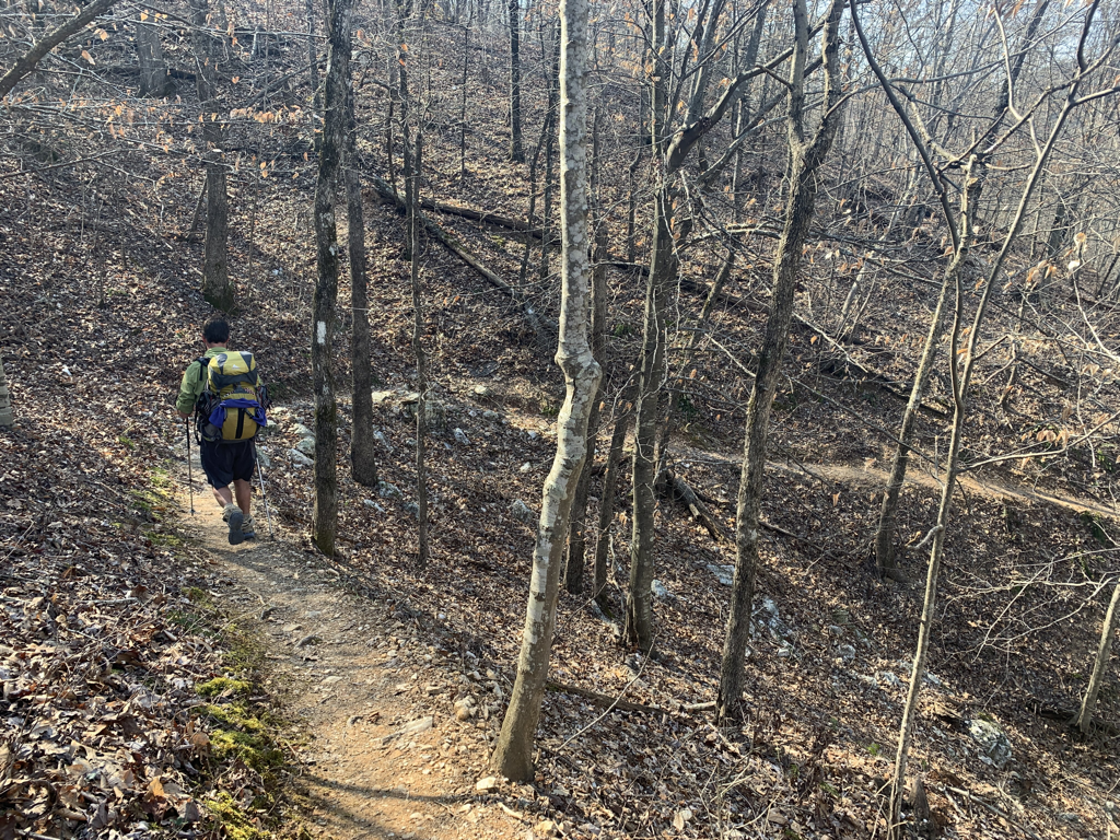 Rounding a bend...ticking off the miles. 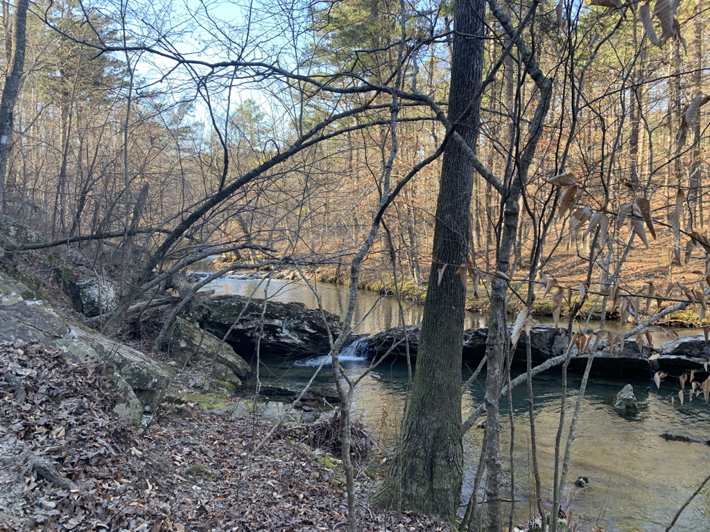 Evening sunlight over more gorgeous water. 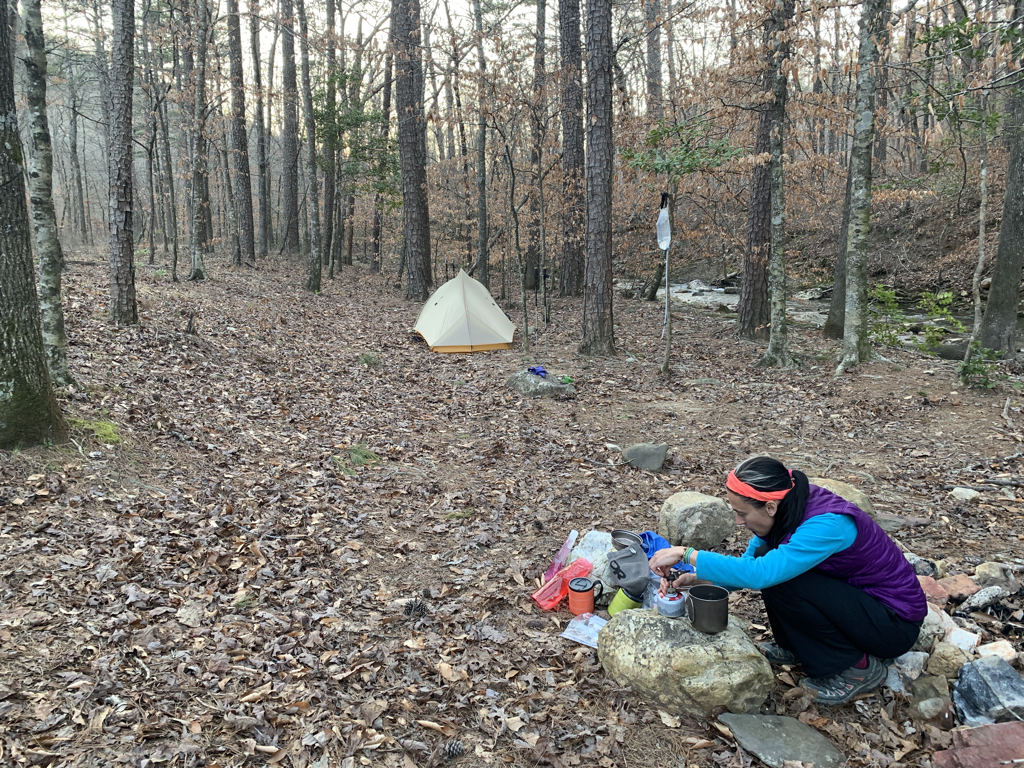 Camp two. My job was to take photos while Erin made dinner. Maybe I was supposed to help make dinner. (She was nice and shared). The Firestarter Brekkie on day three - hot banana and blueberry granola, coffee for Erin (gross), hot chocolate for Byron (tasty), Rum Chata in both (appropriate). Mas agua muy bonita. 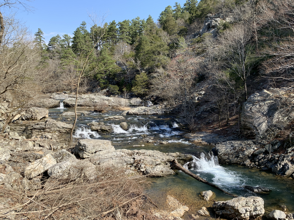 Little Missouri Falls - very pretty and flowing well from the recent rains! I have a LOT of pics here. 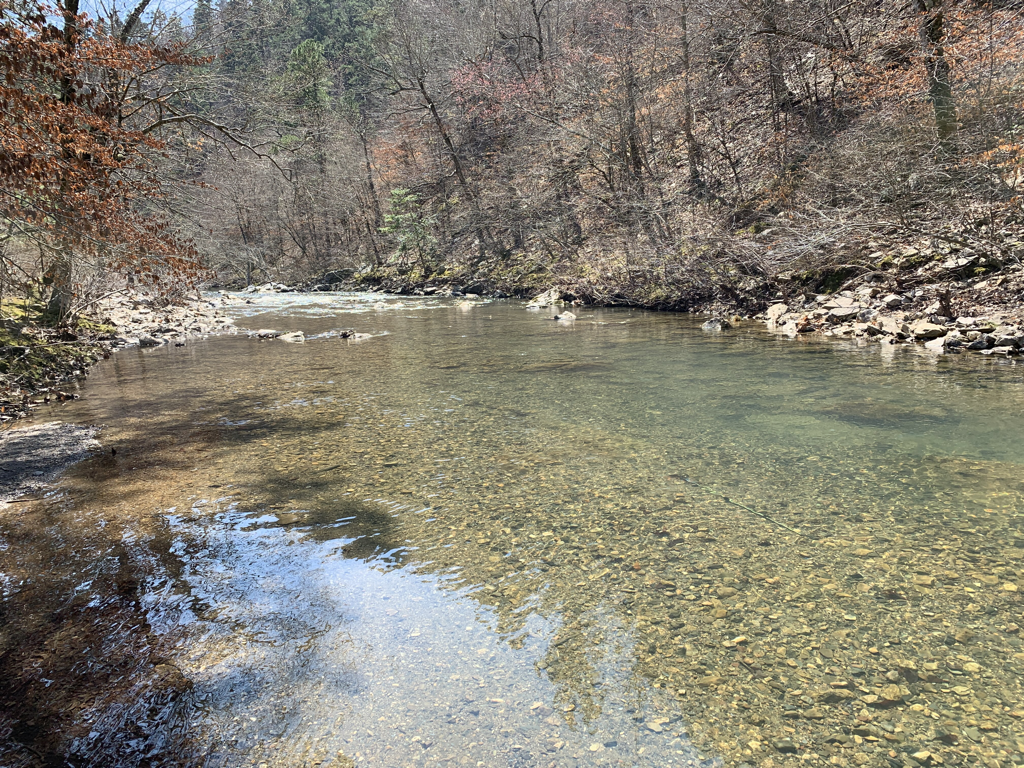 One final wet crossing for the trip. If you’ve seen my Facebook page, you may remember there’s a hidden item in this pic. 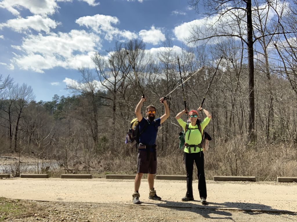 Success! We had a nice stroll on day three...a few wet crossings but nothing to raise an eyebrow at. It was a great loop and comes highly recommended! Erin rolled along like a pro and we really had a great time enjoying nature. Next of course - celebration beers! 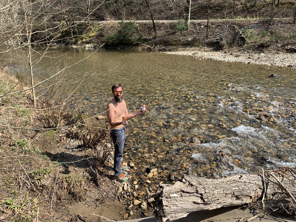 After a quick swim to chisel off the first layer of funk, we changed into real clothes for a riverside hang. However...before any of that...we stashed some room-temp beer in the cold Arkansas water. Nature took care of the rest. A quick reconnaissance mission yielded cold beer in hand. 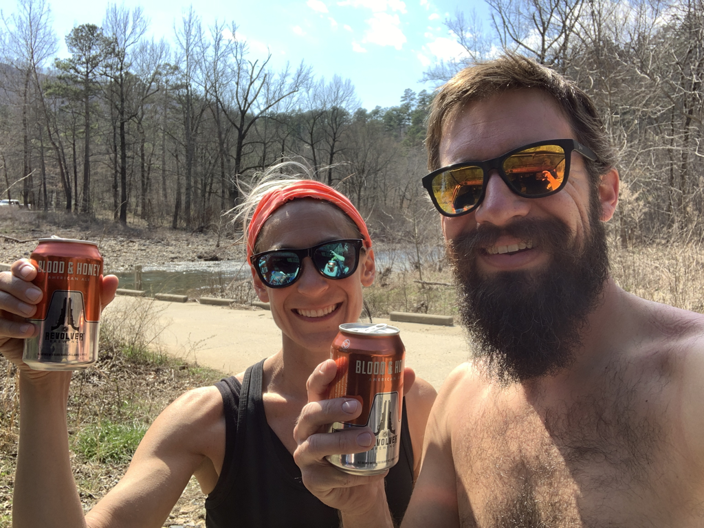 Cheers to hiking and to lowgiene! 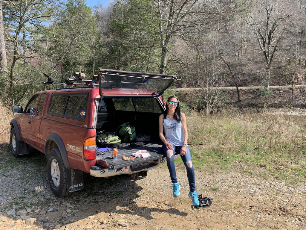 Post-hike happies 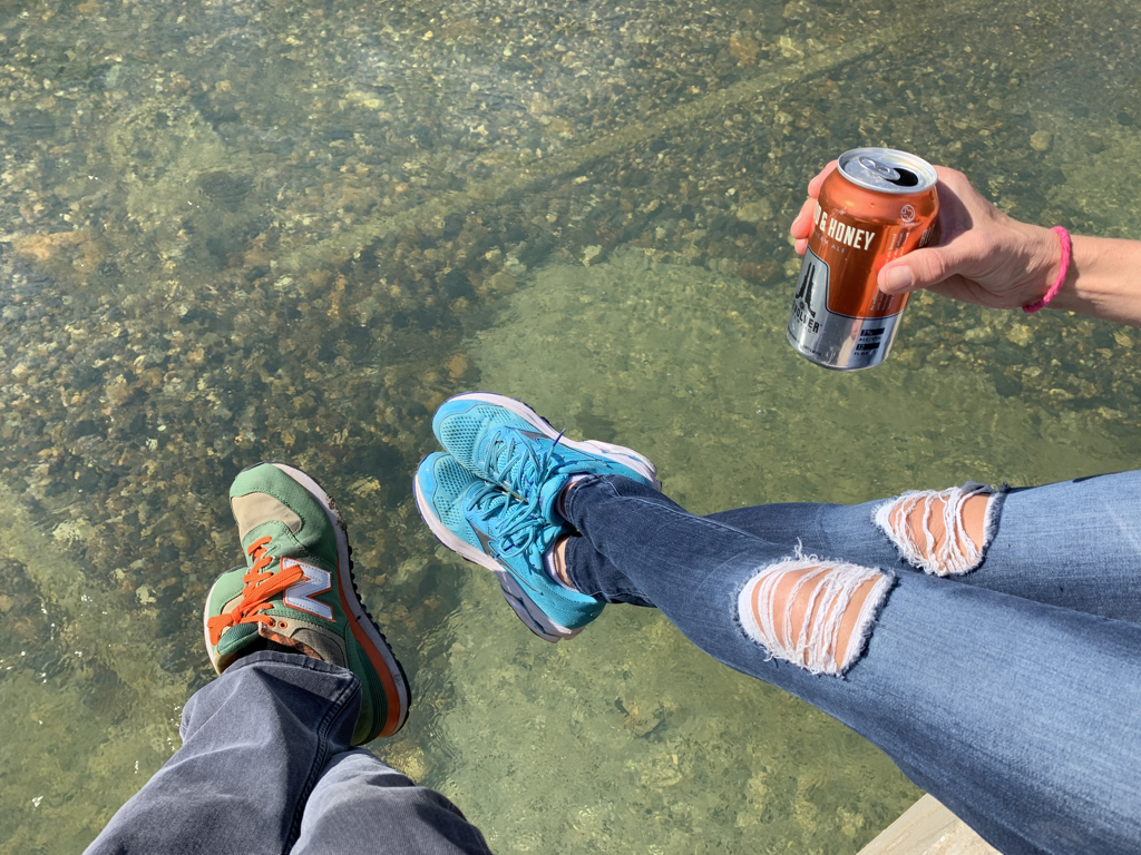 We sat on the bridge soaking the sun, watching the water, snacking some cheese, sipping some brews, and wrestling with the idea of having to drive back to the world of responsibilities. Being able to escape from the daily makes the little things even sweeter. Sunset on the return drive, Muse, OK. Find that one on the map!
The Eagle Rock Loop was a great hike for anyone looking to get away for a weekend! If you'd like any tips or further info, feel free to contact me via Facebook, Instagram, or email! Now go outside before the heat rolls in! bc |
 RSS Feed
