|
I'm usually not one to brag...but Colorado looks good on me. Real good. As you may know, I finished the Appalachian Trail last summer after spending 17 years piecing together sections from Georgia to Maine. Hiking has molded my life in a plethora of ways and serves as a great reset for me from school year to school year. It was time for a new project. The Colorado Trail (CT as you may see it referenced) meanders through the Rockies from the southwest side of Denver to Durango. Ranging from 5,500 feet to over 13,000....the approximately 485 mile trail features a variety of terrain, fauna, and no shortage of jaw-dropping views. As my buddy Jacob says...it is "easy on the eyes." I couldn't agree more. 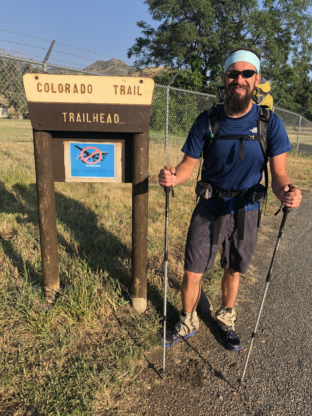 Waterton Canyon lies on the southwest edge of the Denver metro and is the eastern trailhead for the CT. Kickoff was at 7:30am on Saturday. I was so fortunate to join forces this year with my buddy Jacob! A fellow band director in a neighboring district to mine, Jacob is an experienced backpacker and has actually hiked a portion of our trip several times before. He's also a killer runner and a fellow vegetarian. I had no doubt we would pair up well together although we had not yet had the chance to hike together. I was absolutely right. Pace, routine, food/water stops, inappropriate jokes, bark-rattling burps, and shared appreciation for the outdoors abounded. It felt like we had been hiking together for years. I was happy to get to start fresh together and look forward to picking up more sections of the CT as a team! 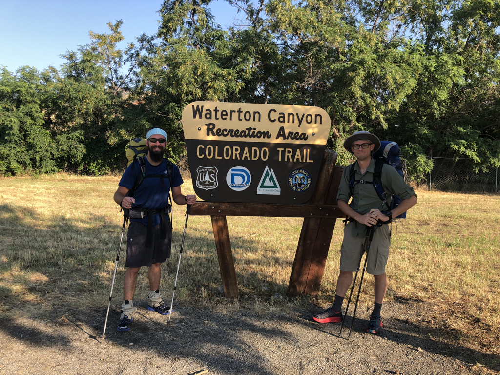 Getting ready to crank up! The weather on Saturday (and actually for the entire hike) was choice. 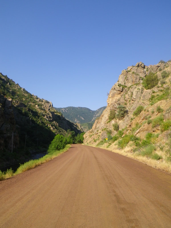 Headed up the canyon. The first 6 miles are along this dirt road. It was actually very pleasant to hike here. We were able to walk side-by-side, converse easily, and look around without having to watch feet. Quite a few folks were out (it was Saturday of course) running and cycling as well. I never felt overcrowded though. We all love the solitude the outdoors provides....but it is important to remember that areas that don't get used....sometimes get forgotten. That doesn't always end well for wilderness gems. So....sharing the outdoors with good stewards doesn't bother me too much...solitude is usually achievable regardless. 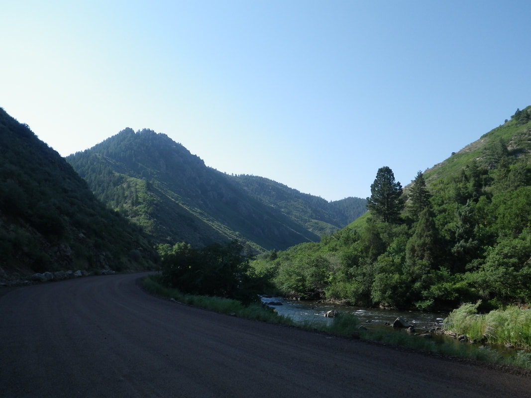 Canyon shadows. It was so pleasant to hike in the cool shade. 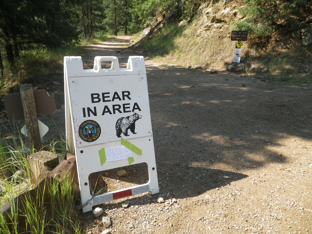 Exiting the canyon and merging onto single track trail. No sign of bear....although this is definitely a sign....of bear. Get it? 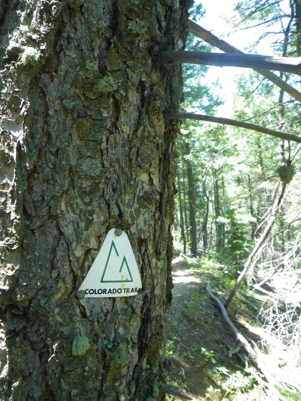 CT marker being reclaimed by a tree. 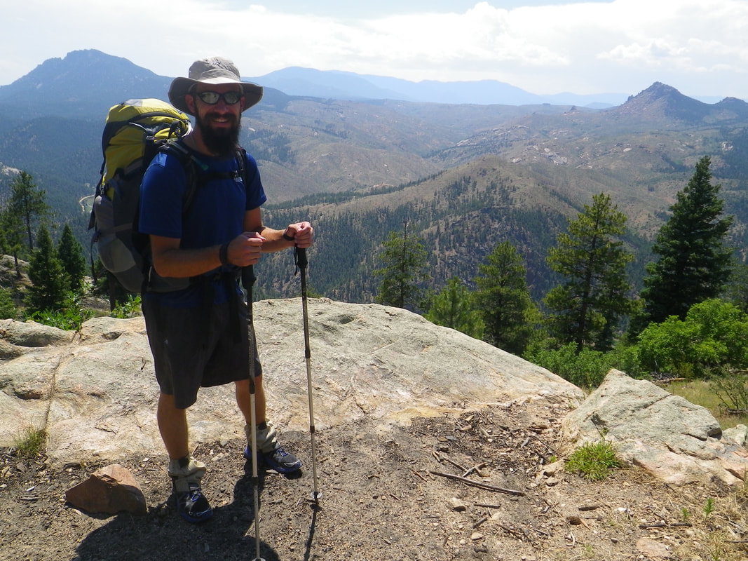 The trek out of the canyon was a gentle incline and eventually brought us up and out into some higher viewpoints. 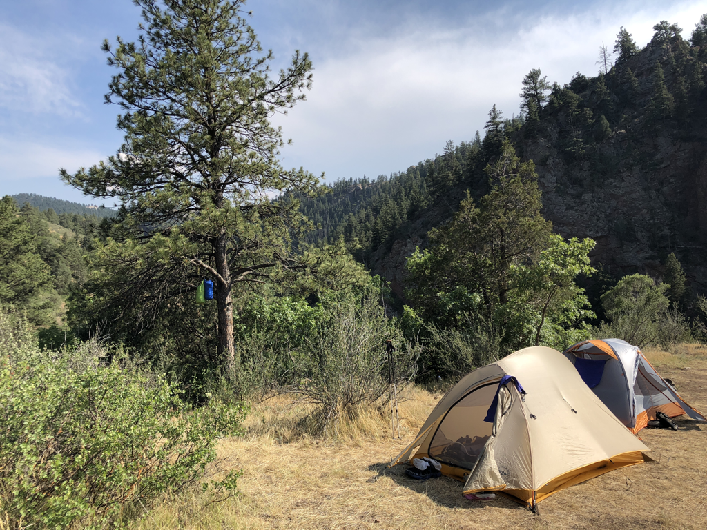 The first night's camp was at the South Platte River. Being as hot as it was, we made short work of setting up camp, and made a beeline for the water. 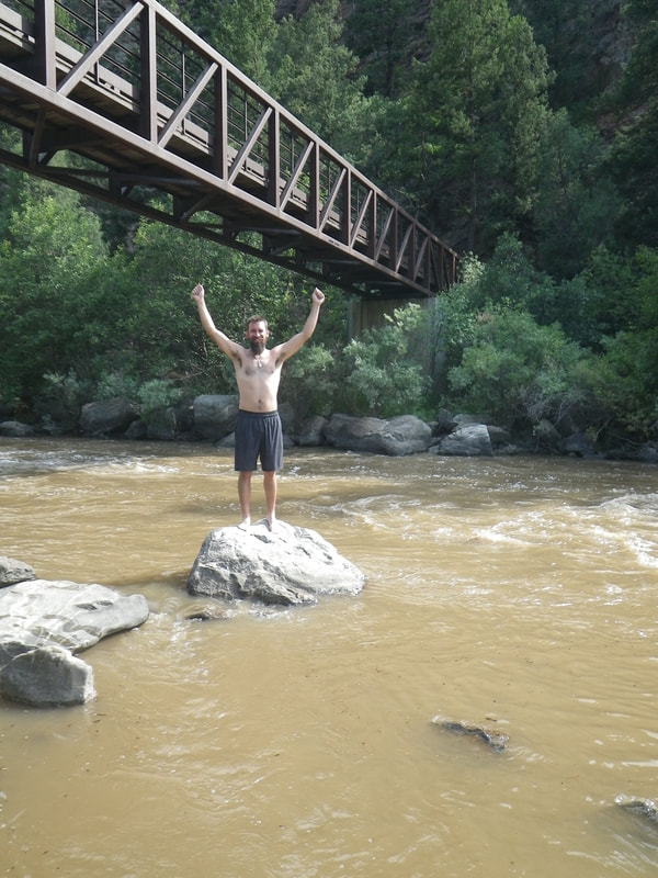 I've mentioned the term 'lowgiene' in some of my hiking posts before. Gifted to me by my buddy and way-back climbing partner Gordon.....it is a term of endearment for those of us who enjoy the outdoors. It's just like hygiene...except....less. The water was fantastic; lots of silt in the river from some previous (and scarce this year) rainfall the day before we started; and frigid! I loved it. 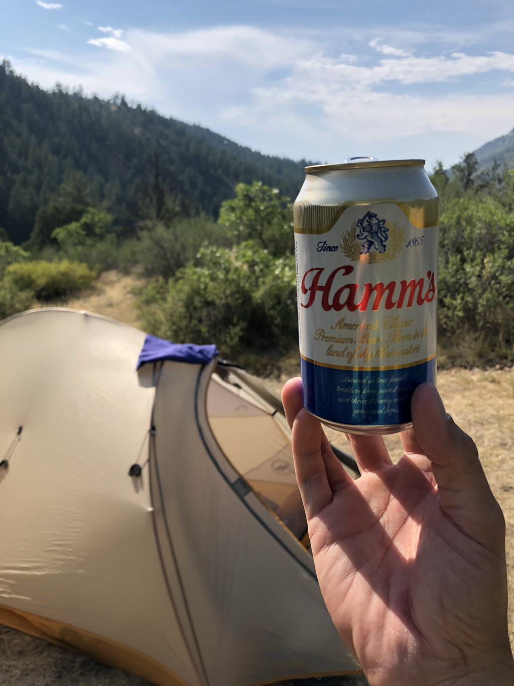 We found this golden nugget of happiness down by the river! After a swim of its own...the single Hamm's was chilled down and ready to mingle. 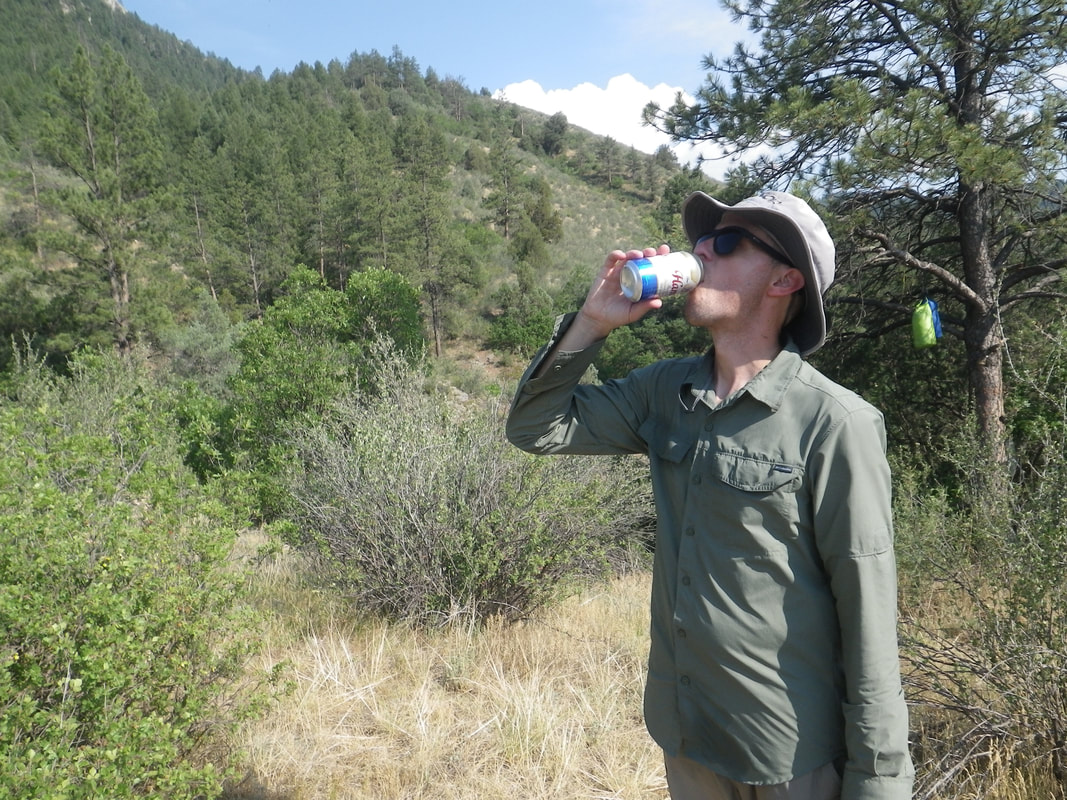 Jacob taking the first lap. 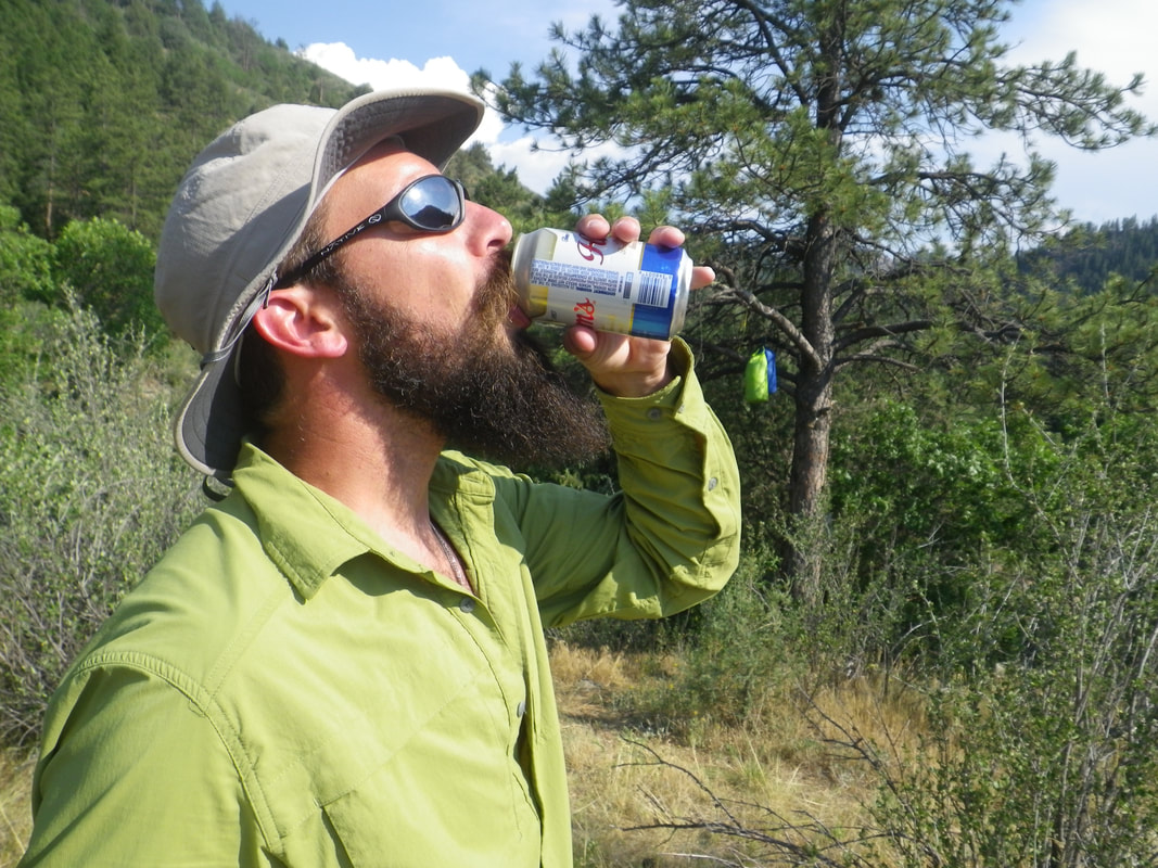 I tagged in and took over for a bit. There is something magical about an unexpected cold beer in nature on a hot afternoon. Man was it good! 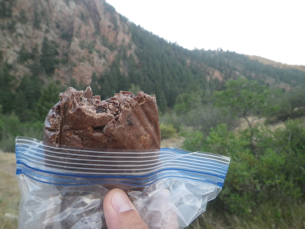 Speaking of hot afternoon....this is what a bag of chocolate-covered raisins looks like on such a day. As the sun and temps dipped, it conglomerated into a chocolatey raisin brick. Still got the job done. 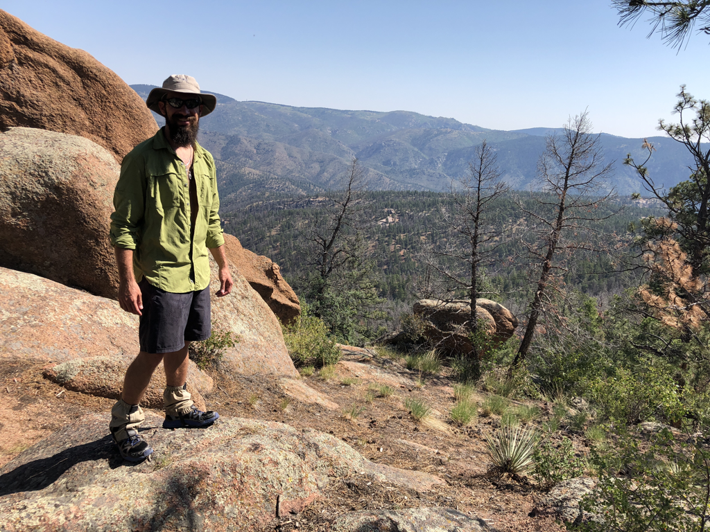 Taking in the sights on day 2. I switched over to the long-sleeved shirt to dodge the sun as we knew the exposure would be high that day. I ended up sticking with this plan for the remainder and was beyond happy I did. It worked great, never made me hot, and allowed me the luxury of skipping the sunscreen bath. I'm not a big fan of putting more goop onto my already dirty self. Eww. 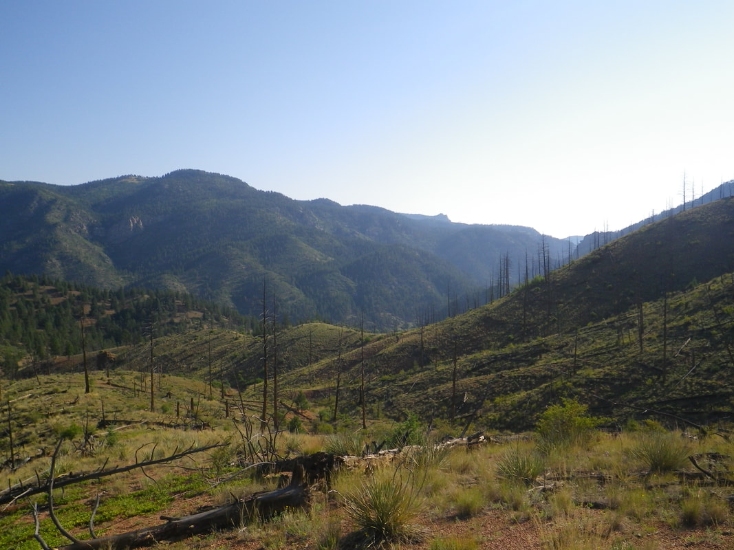 In the mid 90s, a massive wildfire moved through this area of the CT, leaving an open and barren area. It's unfortunate, but did allow for some tremendous views. We spent most of today hiking through the burn scar....hence the long sleeves and hat. 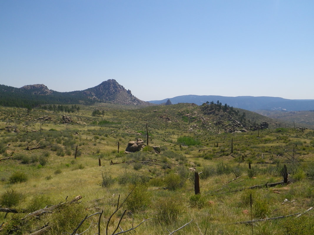 More views of the burn scar. 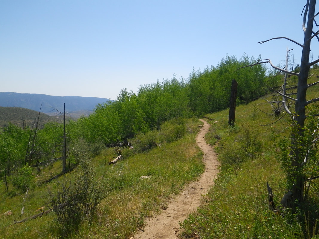 Heading into a little oasis of Aspens in the burn scar. There were many more to come throughout our hike! 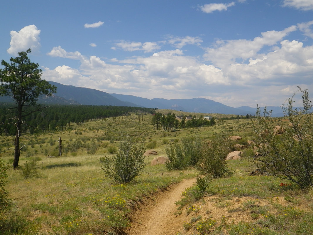 Far in the distance you can see the North Fork Fire Station. This is a critical stop as there is very little water in segment 2. They offer a water spigot for hikers to refill and take donations as appropriate to keep the department up and running. We were happy to reach the station on this hot day and tank up. 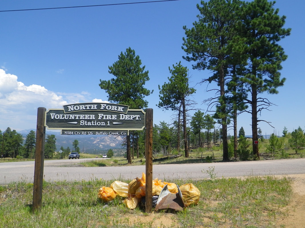 Fire crews had their work cut out this summer....there were active wildfires throughout Colorado. Though we did see some distant smoke, we were fortunate to not have been affected. Thank you to the firefighters who have worked diligently to control the burns. 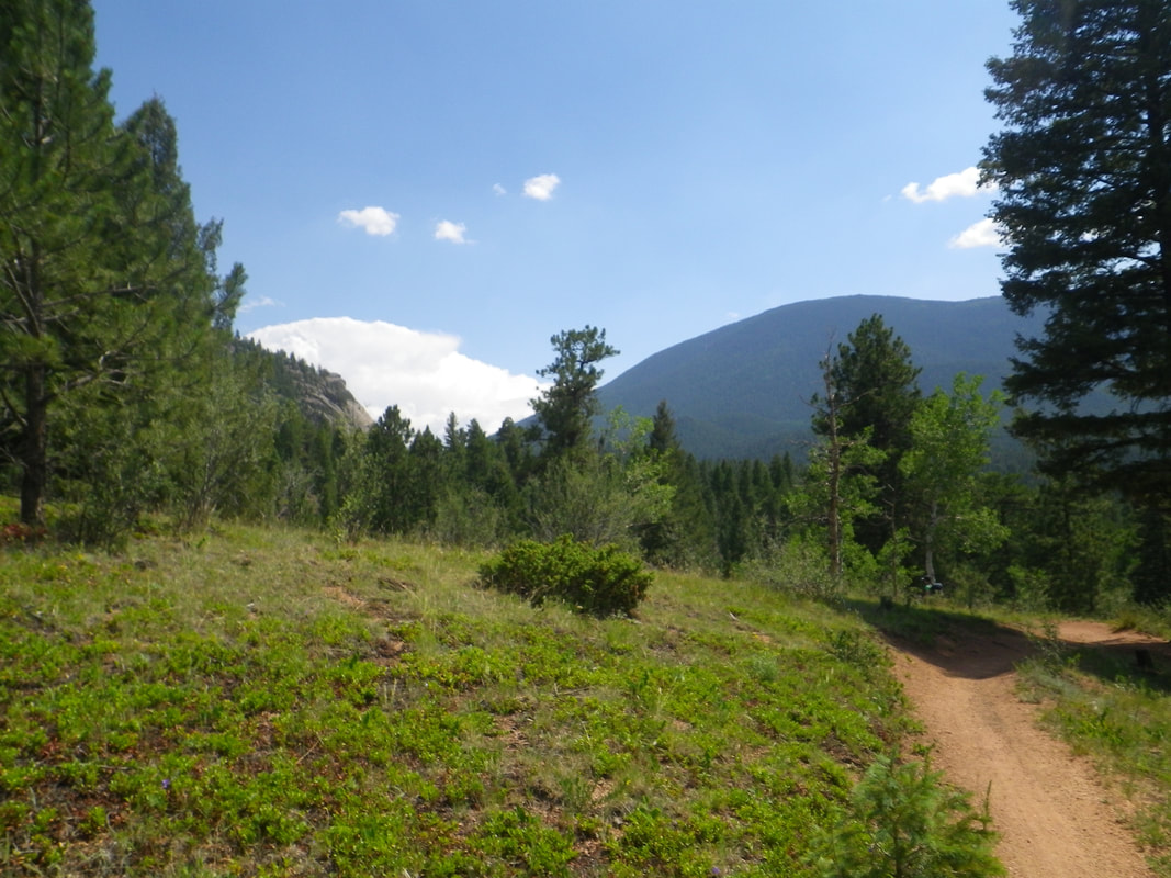 Some thundies building in the distance. These came into play later in the evening.....bringing some light hail at our campsite. 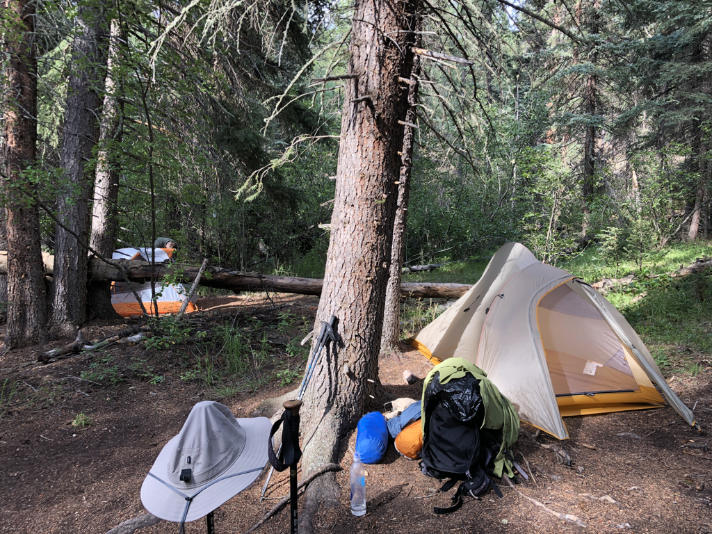 Camp at the end of day two. This was at Tramway Creek. It was a good water source! Not large enough for a swim this time, but flowing well, clear, and cold of course. Just before starting dinner, the rain moved in. It kept up for about an hour and delivered a dose of light hail. Nothing to worry over, just an evening thunderstorm in the Rockies. We both relaxed and dozed in our tents before reemerging for dinner around 8:30pm after the rain stopped. A forced break isn't necessarily a bad thing! 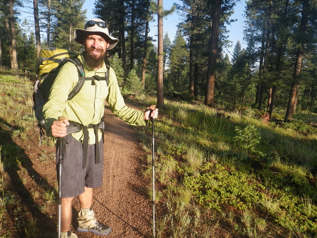 Catching some early morning rays on day three. Jacob and I were on the trail most days before 7:00am. In fact, our latest start time was day one at Waterton Canyon. It's nice to be up early and knock out some mileage before the sun really starts making its presence known...around 10:30am or so. 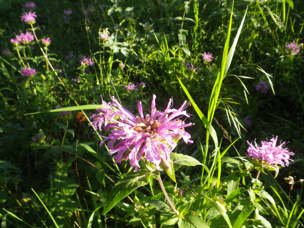 Flowers for my mom. A large amount of my mom's photography consists of up-close shots of flowers. I don't have the same touch that she does, but I give it my best! Not sure what these were, but they were pretty. 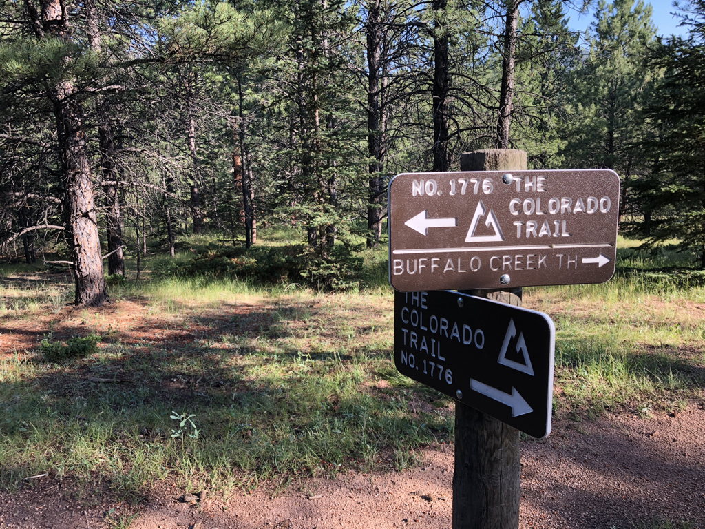 Trail junction near Buffalo Creek. The signage on the CT is superb. I was impressed at the consistency of maintenance throughout our hike. It's interesting to note that there are far fewer blazes on the CT along the trail itself. However, even deep in the woods and far from roads, if there was an intersection to be marked, it had a sign....and the signs were actually legible! Kudos. 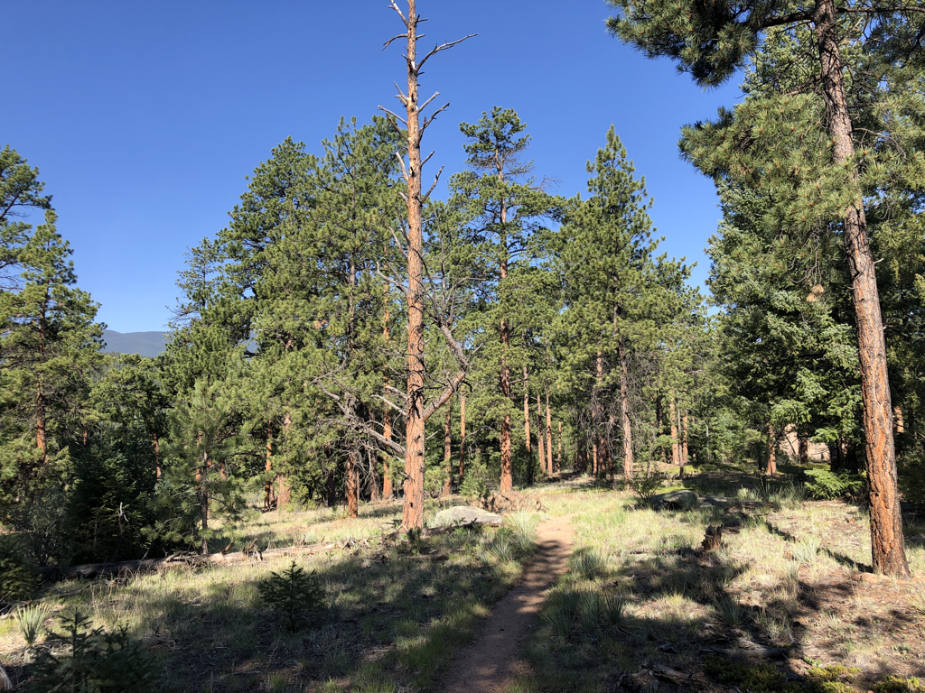 The tree in the center is likely a beetle-kill victim. Regardless, I love this shot because it 'feels' like Colorado to me....greens, browns, and blues. 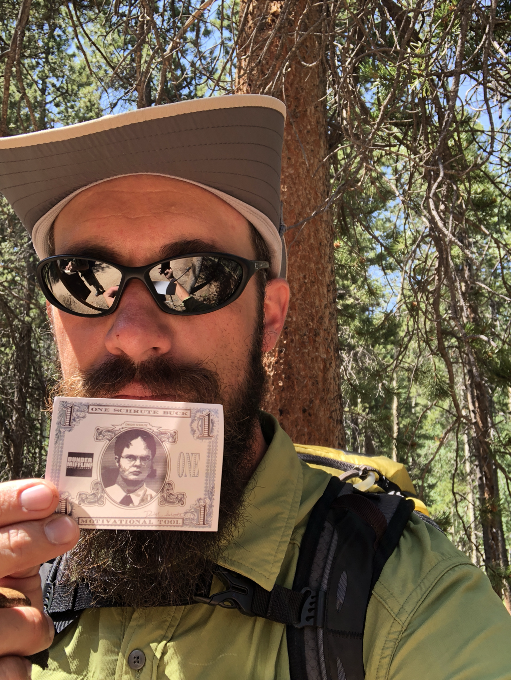 Upon entering the Lost Creek Wilderness Area, hikers approach a kiosk and are asked to register before moving forward. This is pretty standard procedure, doesn't cost anything, helps deliver funding to the areas by being able to track actual usage, and also can serve as a safety line in the event a hiker was to go missing. While Jacob was filling out our info (one card per party)....I rummaged around in the box at the kiosk....and found a Schrute Buck. One photo with Dwight K. Schrute was all I needed to find the motivation to carry on! I graciously left it in the box for the next hiker to enjoy. 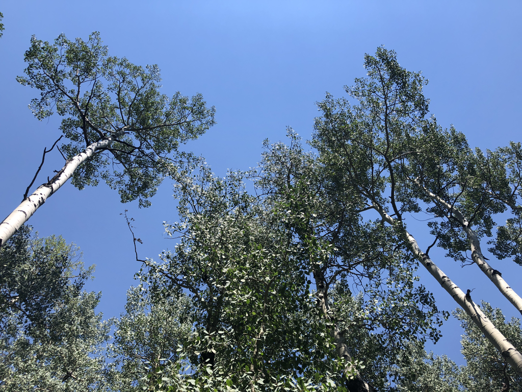 Tall Aspens agains a blue sky. 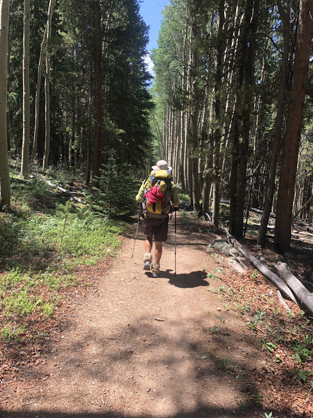 Ramble On 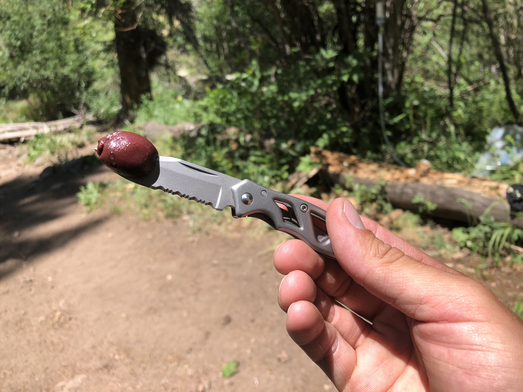 As a treat this year, I packed some kalamata olives! They were a nice salty treat to have at lunch and I upped the ante by eating them with a pocketknife. Safety third. 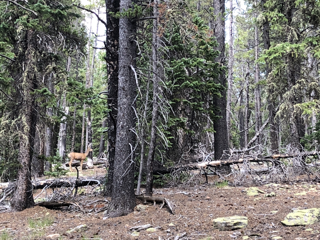 Hide-and-seek in the wilderness. 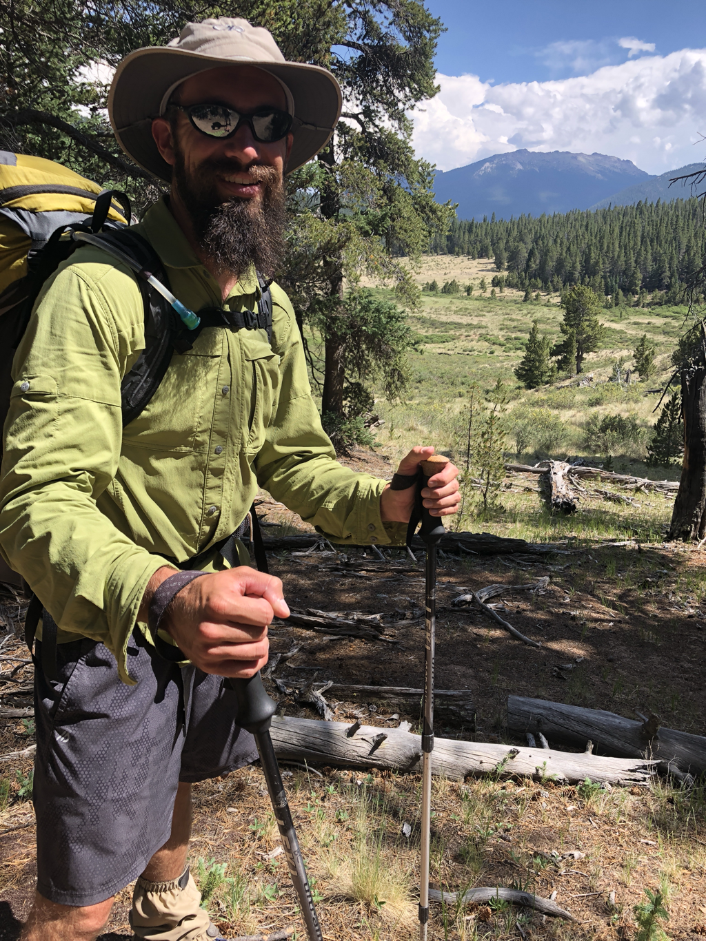 Photo model in the Lost Creek Wilderness. I smelled really good here. 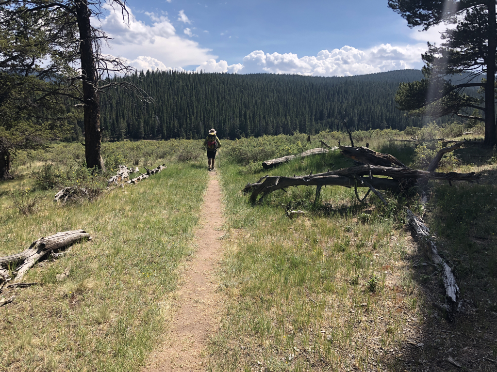 Into the great wide open... 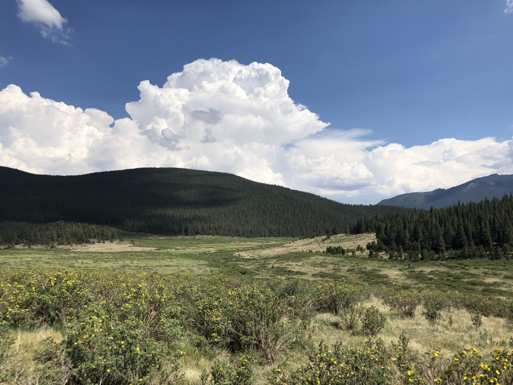 ....under them skies of blue 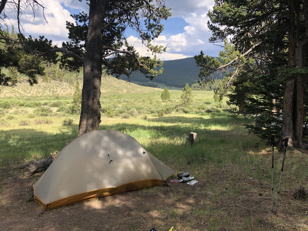 Camp three was at the Brookside/McCurdy Trailhead Junction. We had this expansive valley to stare at all evening. "Easy on the eyes...." 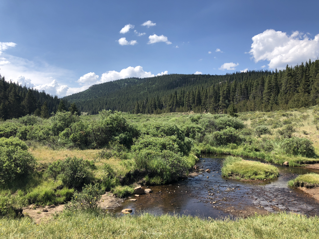 A view upstream in the valley. The water was just perfect. 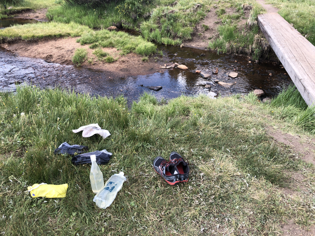 Splish-splash! It was fill-up time. Did some extensive splashing here as well. The water was so refreshing! 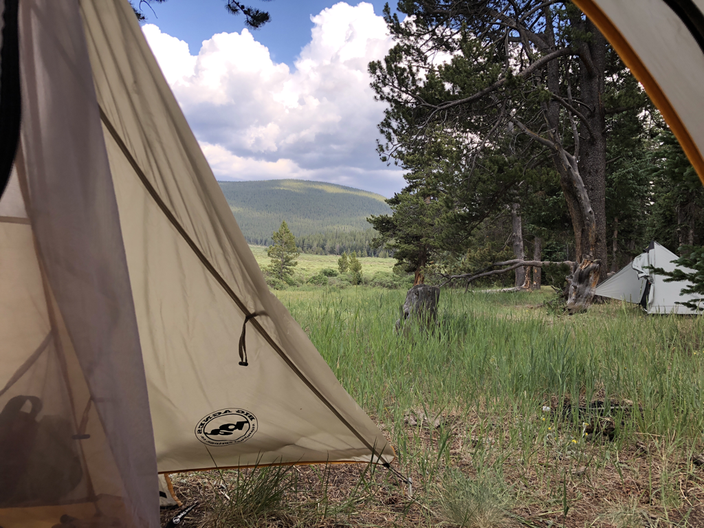 The million-dollar view from my tent. Big Agnes Fly Creek 2 UL. This sucker is bomber!! LoveLoveLoveLoveLove 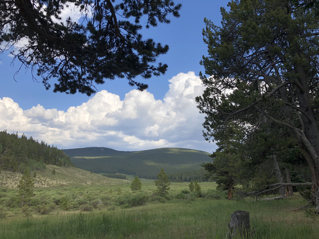 Another out from around the trees. I was happy we made good time and were able to enjoy this area for several hours. Notice the clouds building....? 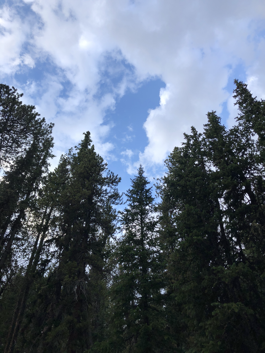 I'm a sucker for treetops against blue sky. Gets me every time. 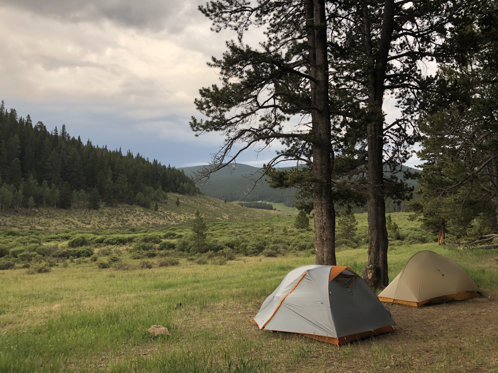 A view of the castles, the valley....and the changing skies. 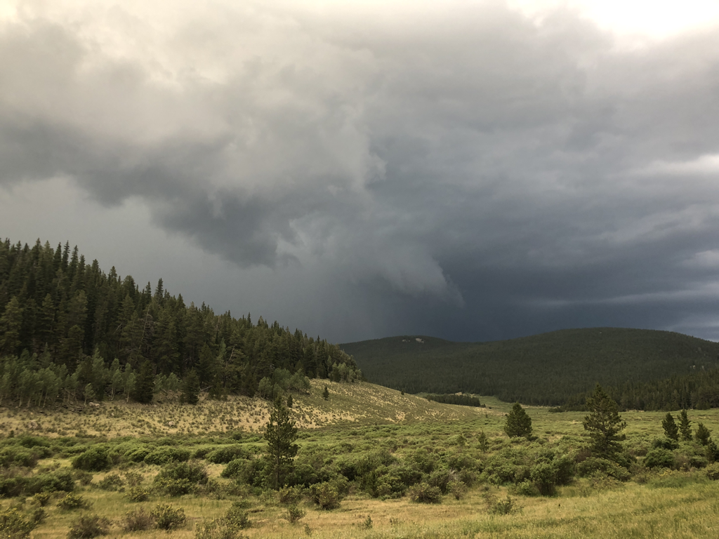 Did I mention the skies were changing?!? 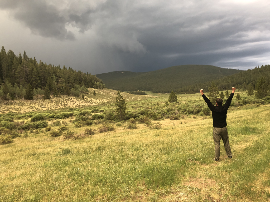 Lets get ready to rumble!!!!!!!!!!!!!!!!!!!!!!!!!!!!!!!!
Despite the ferocious thunder, ominous skies, and gnarly wind...this storm actually ended up just skirting us. It rained pretty steadily for about an hour...maybe more, then let off. We talked to some other hikers the next day who got some pretty wicked hail, but overall it was mostly bark rather than bite. Sometimes you dodge one. Thanks for starting out on the start of the journey! Check back soon for another post to continue the trip.....feel free to share the link, and spread the word. Most importantly.....go outside. bc |
 RSS Feed
