|
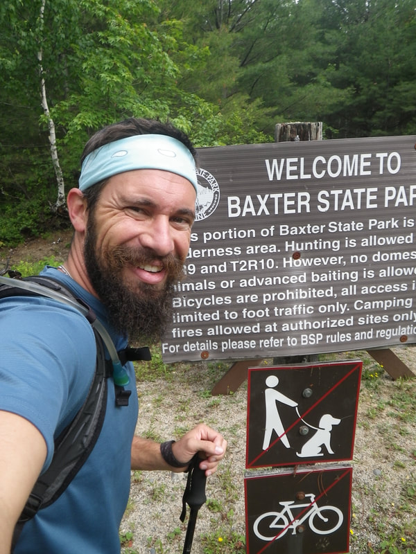
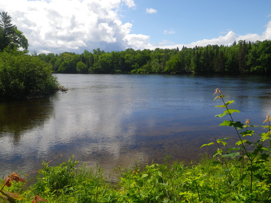
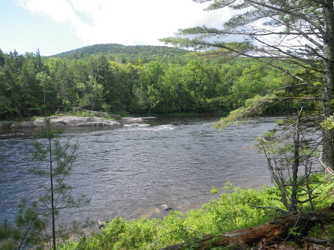
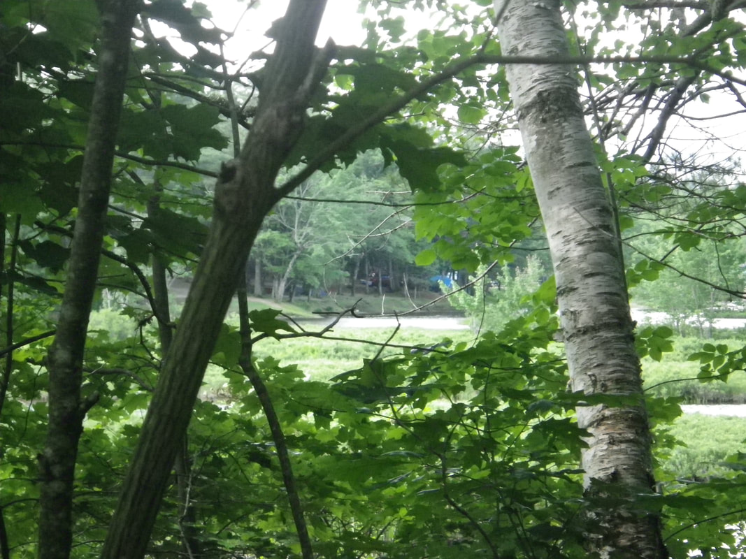
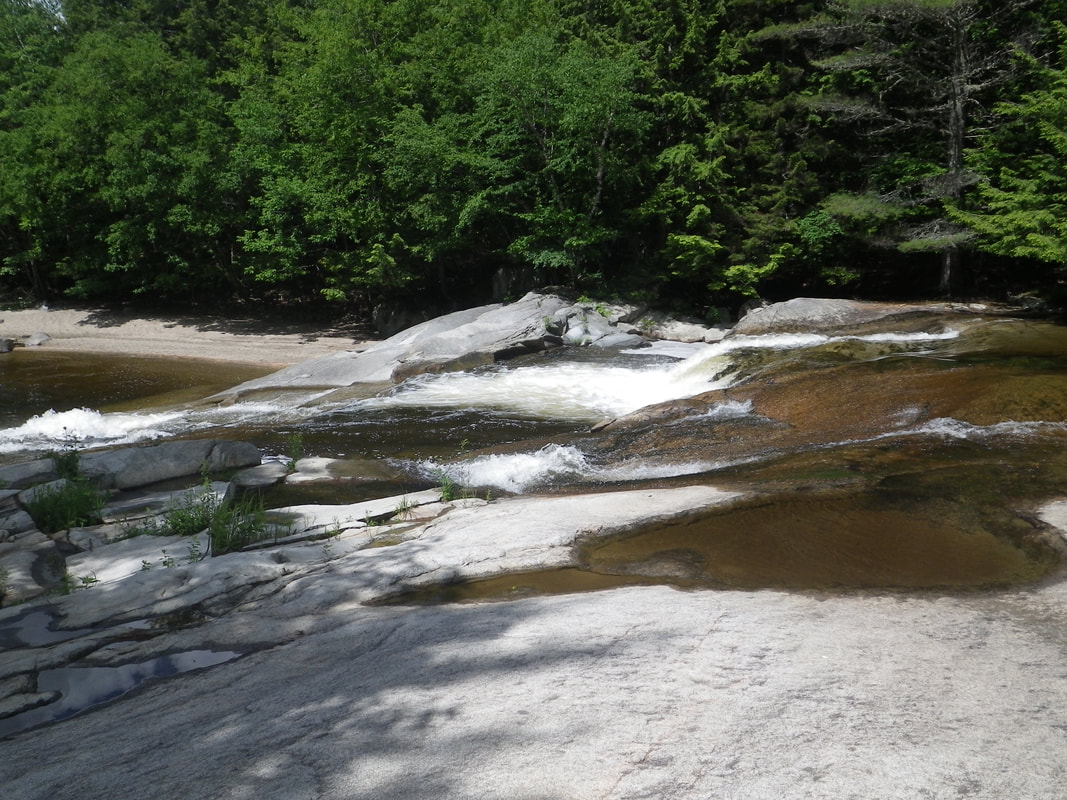
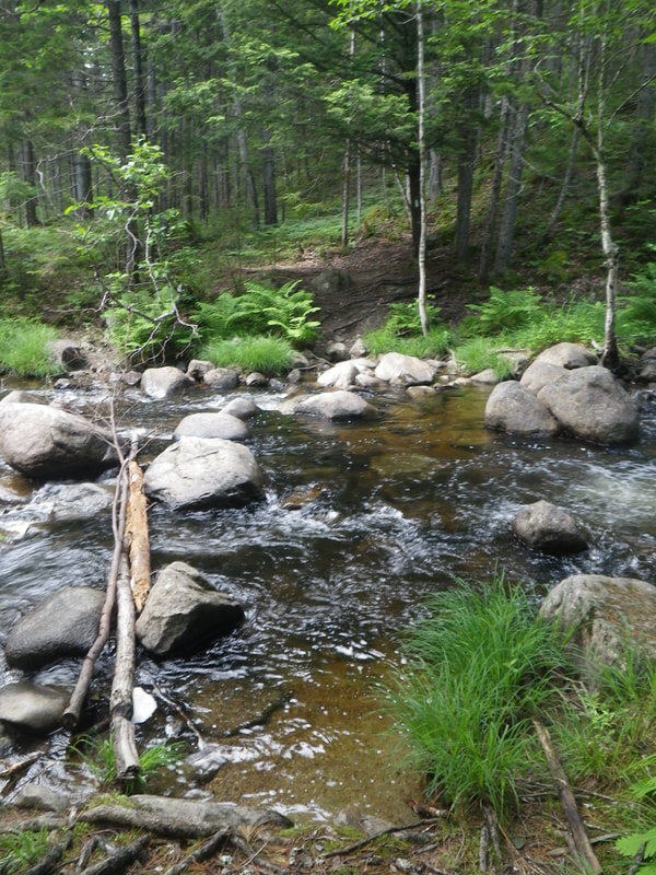
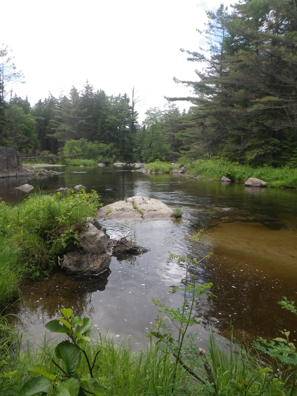
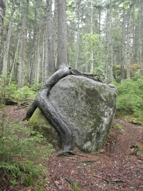
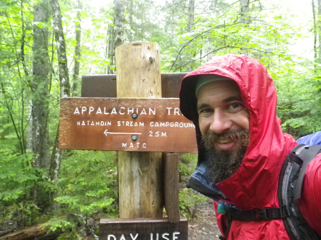
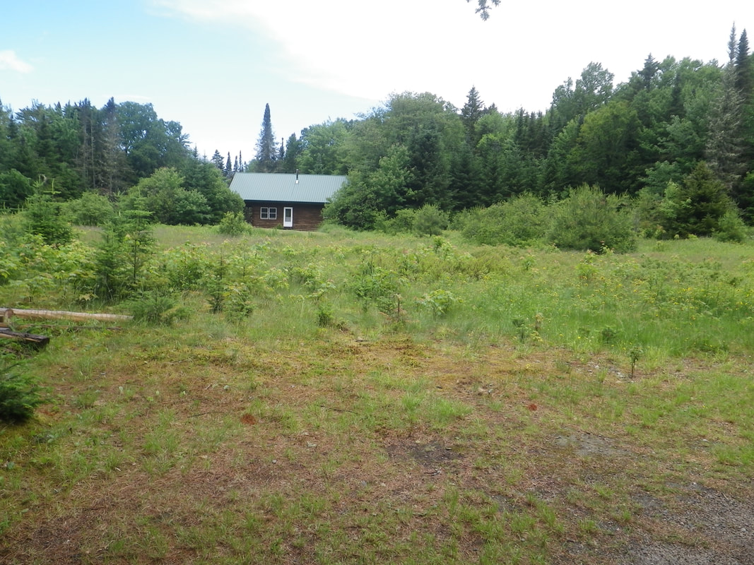
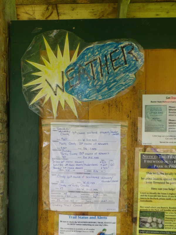
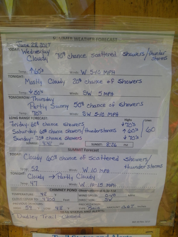
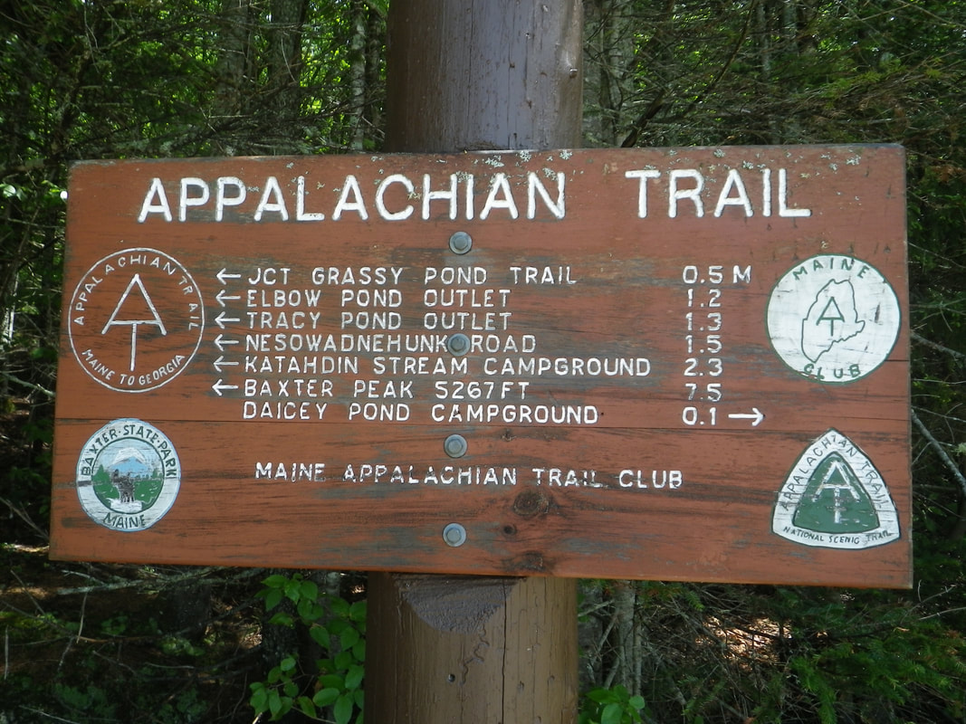
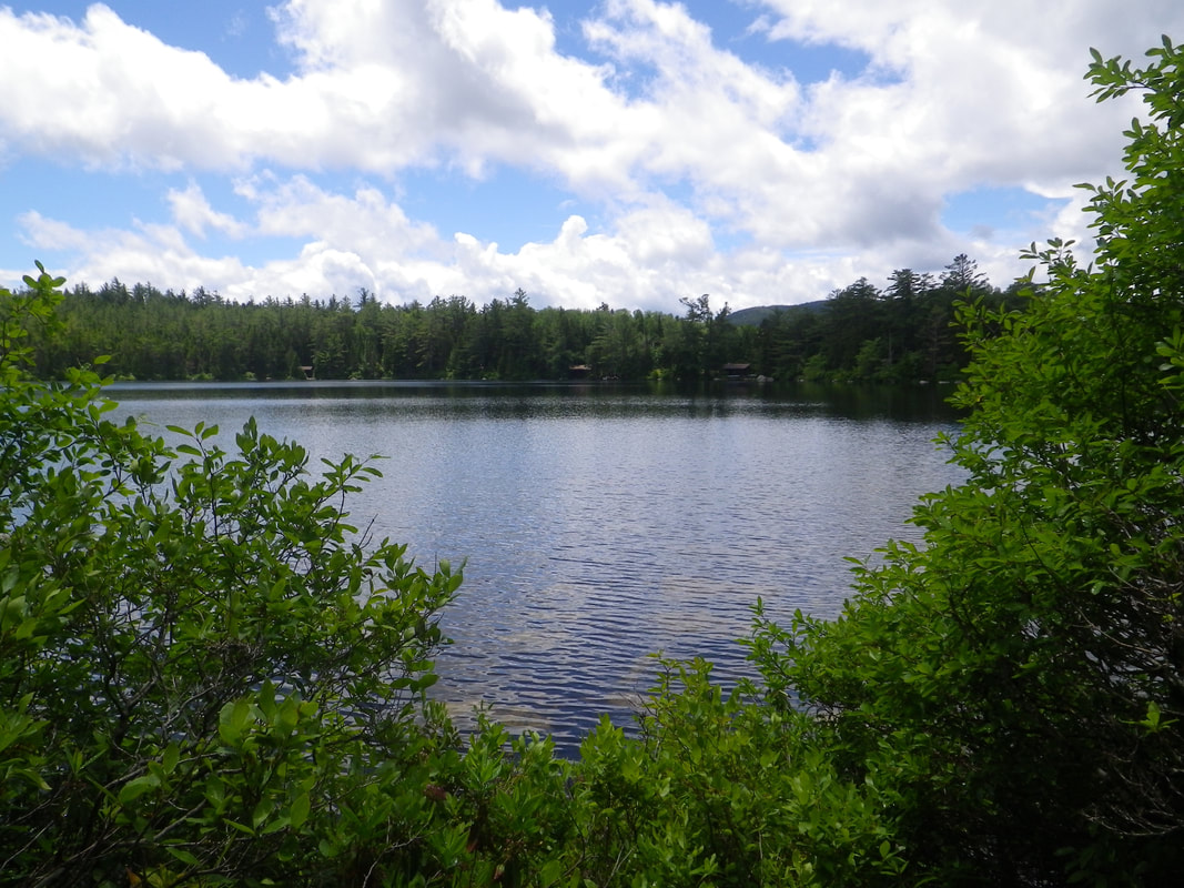
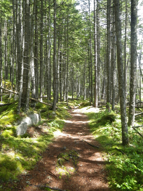
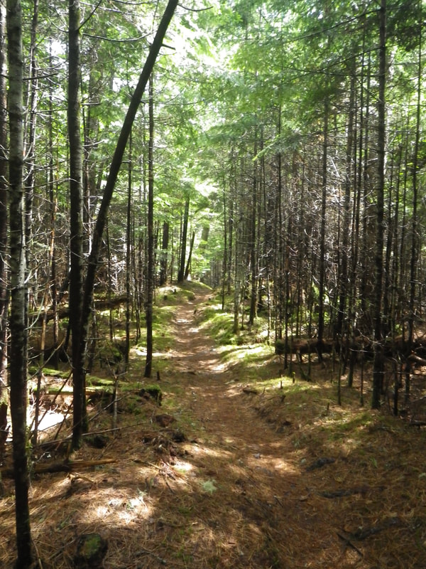
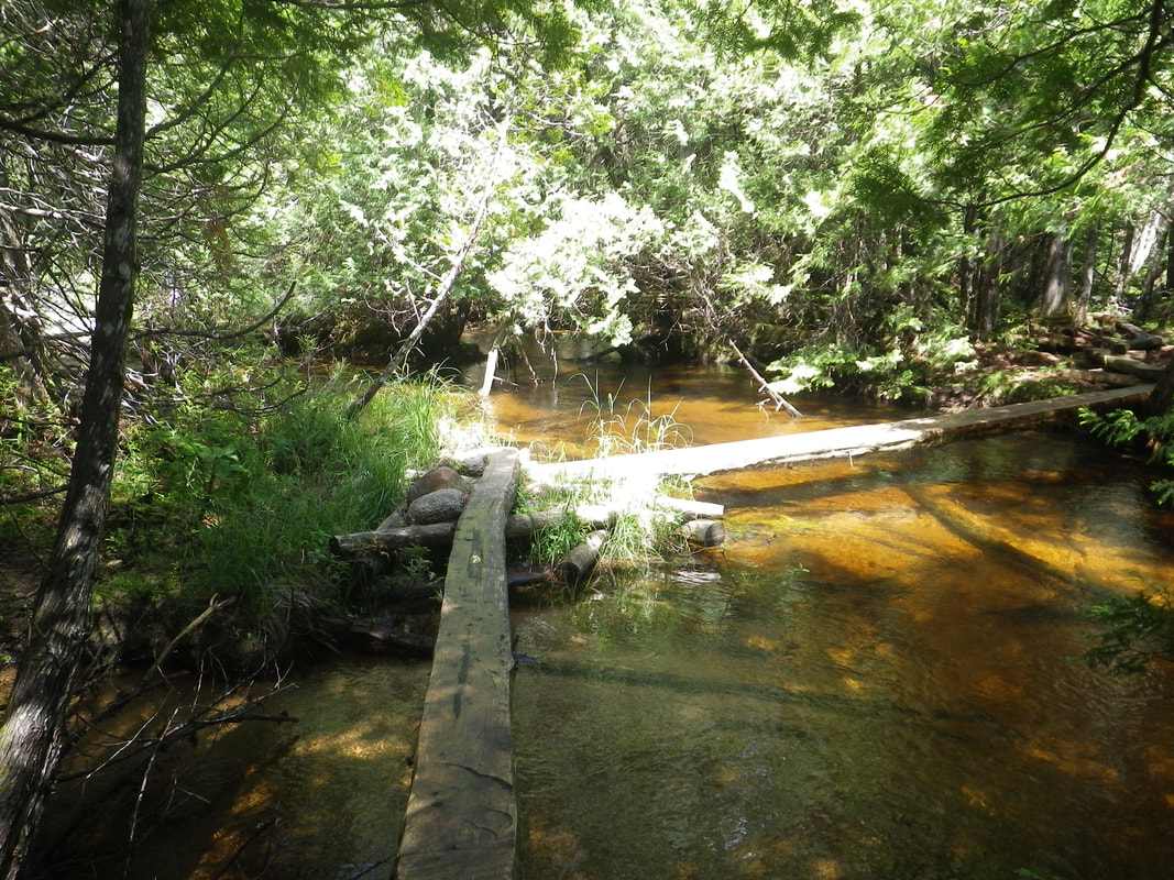
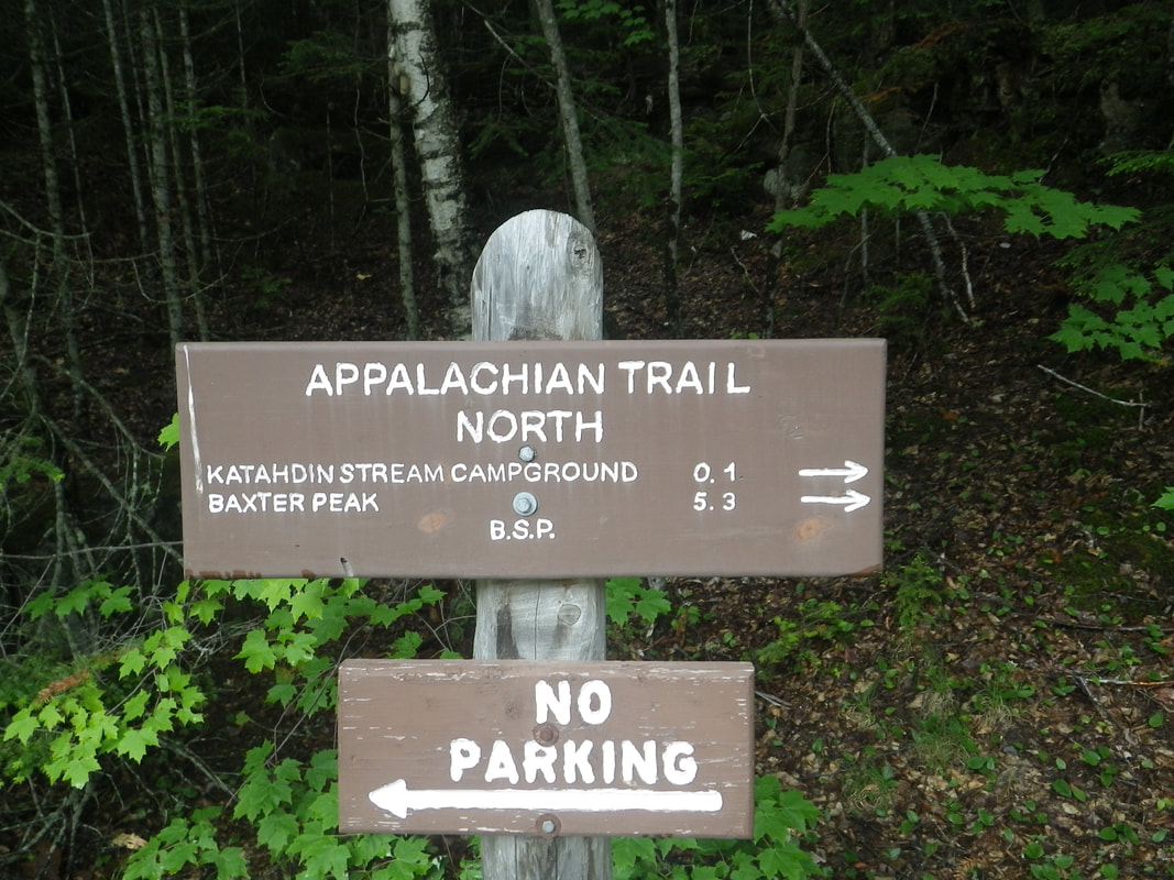
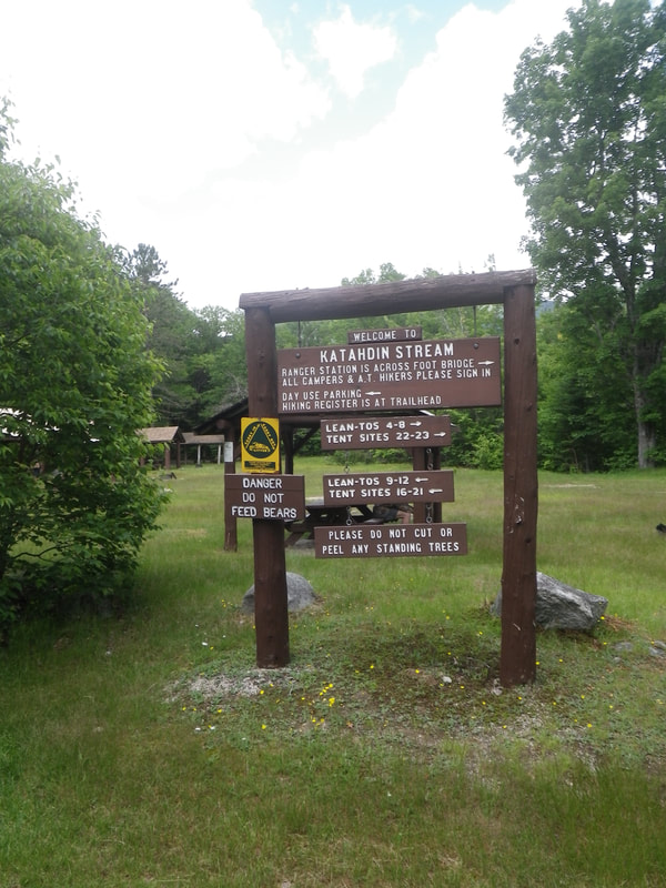
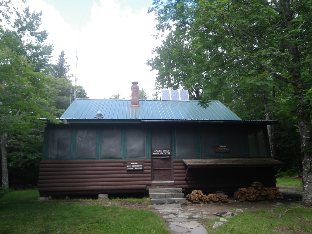
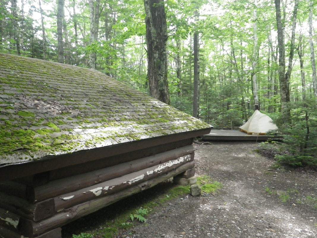
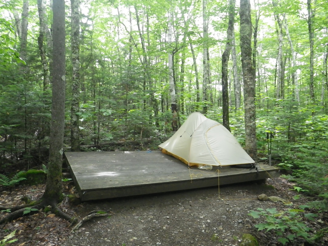
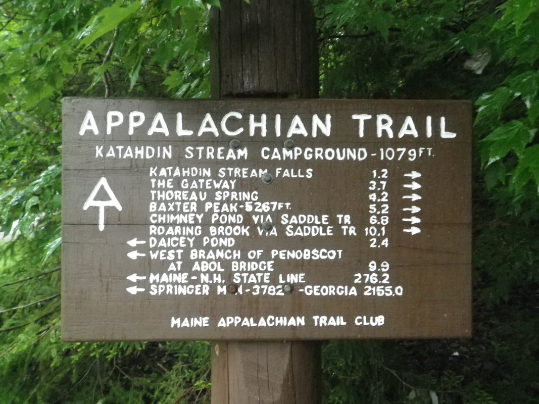
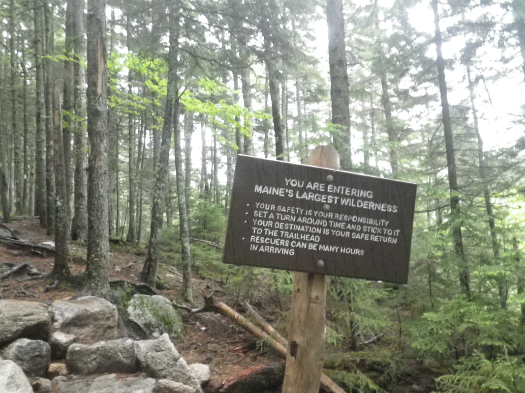
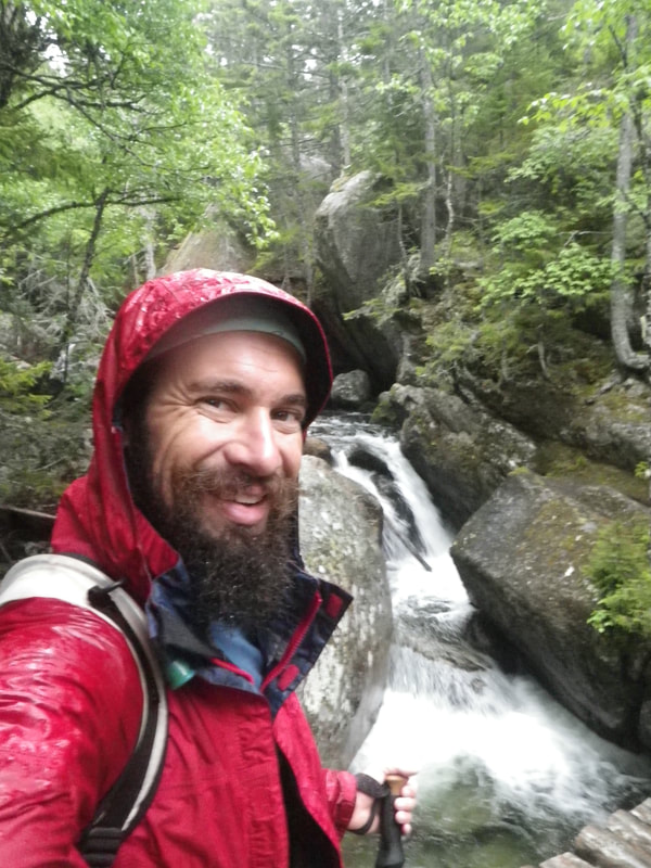
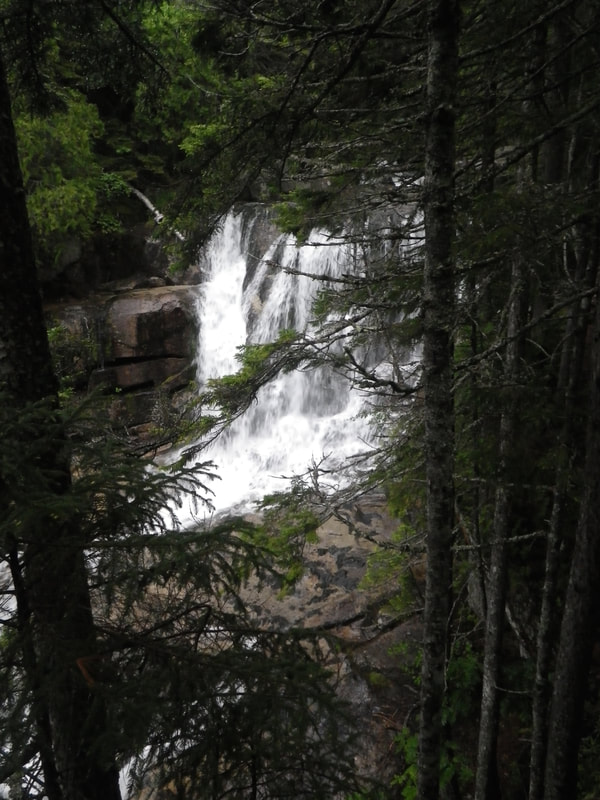
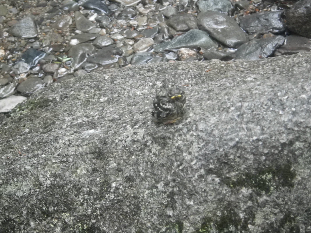
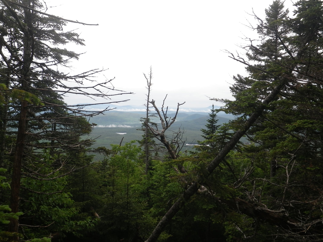
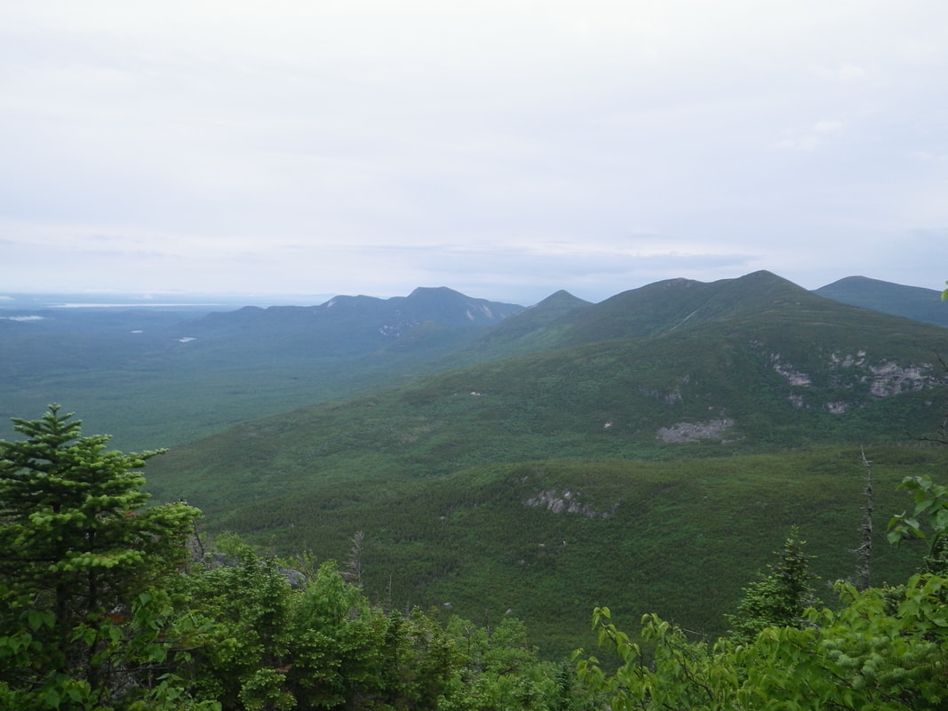
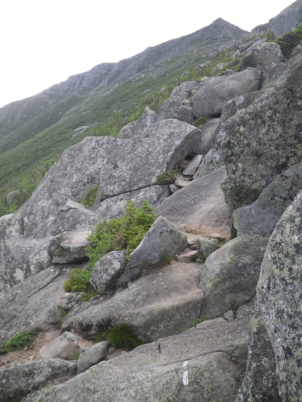
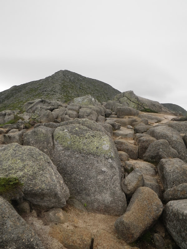
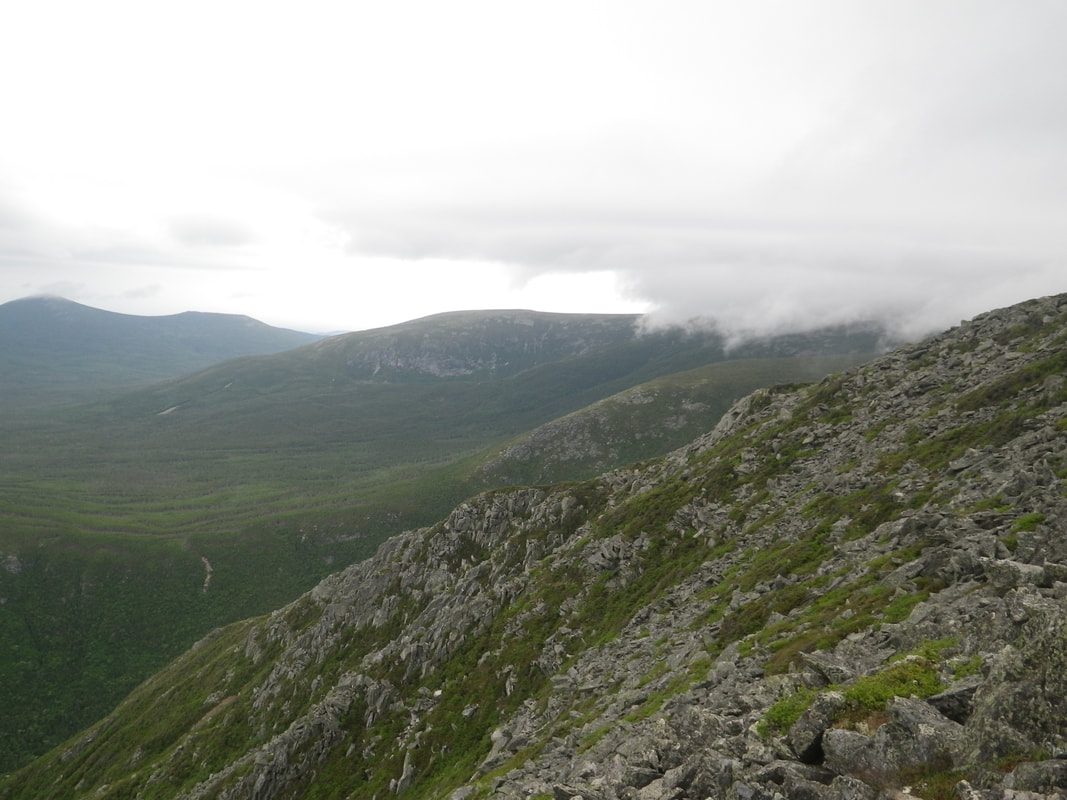
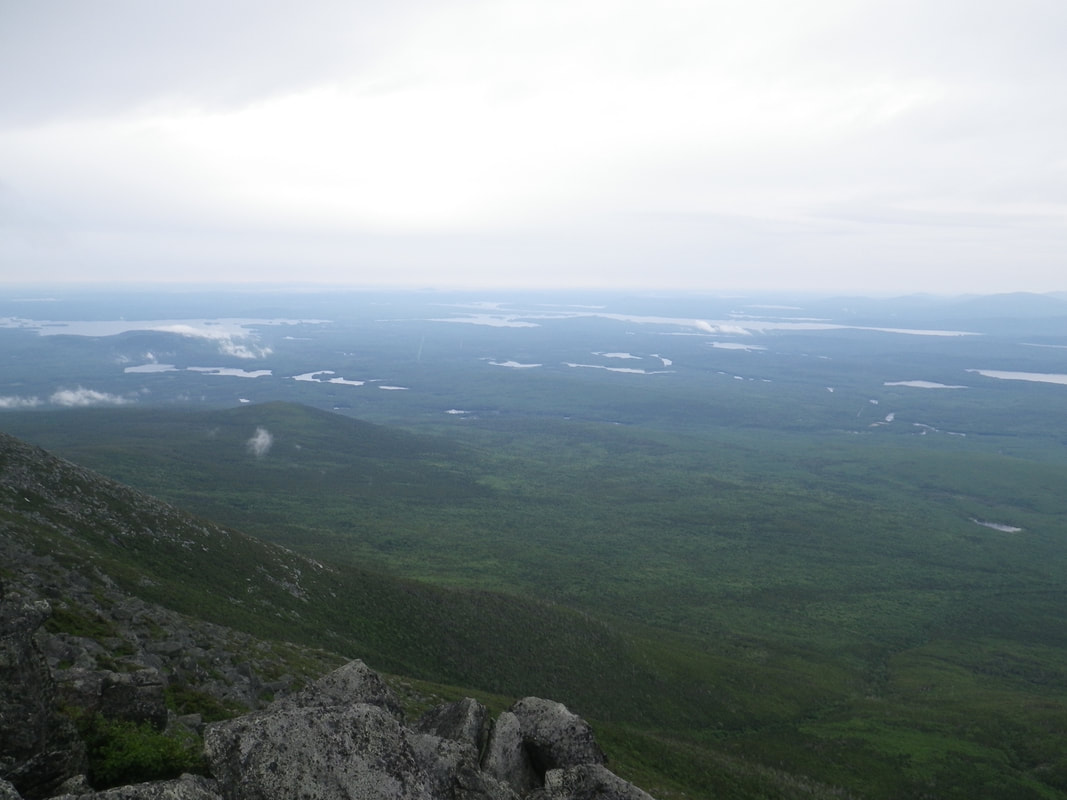
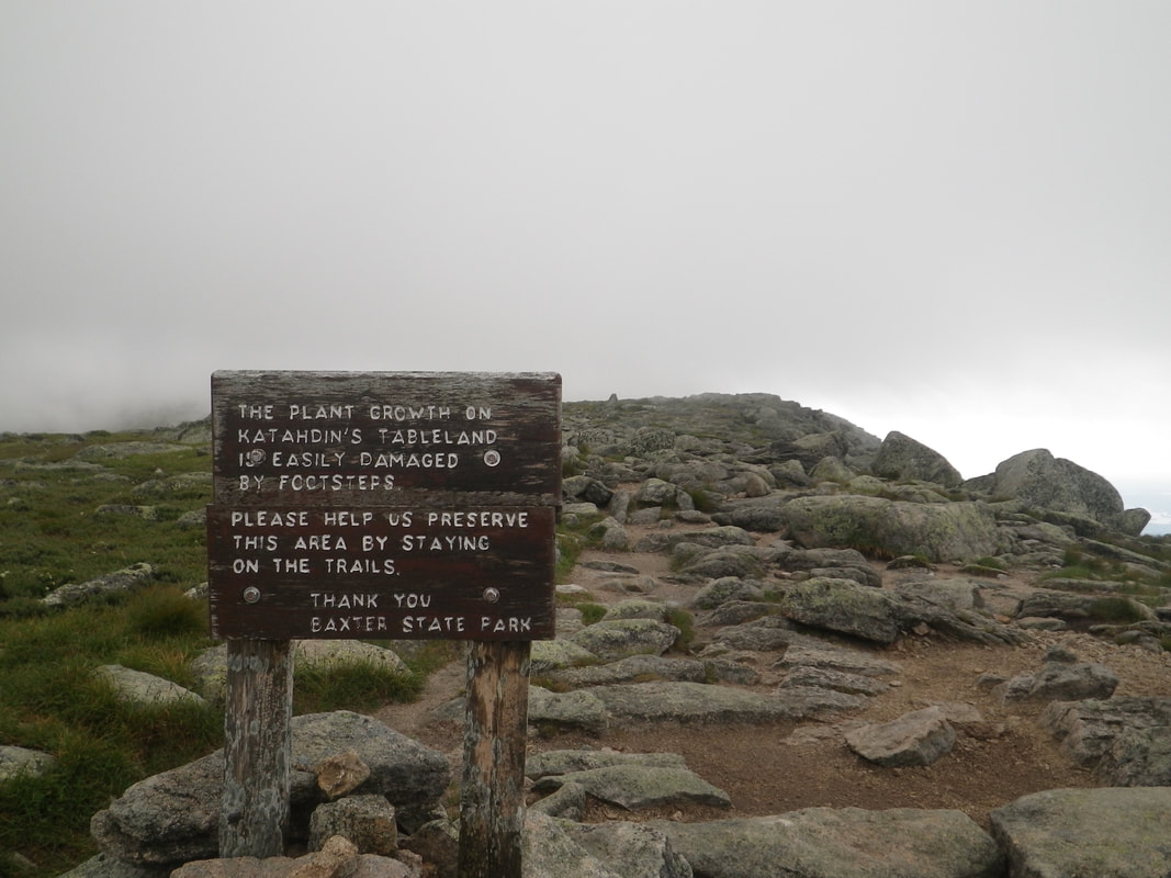
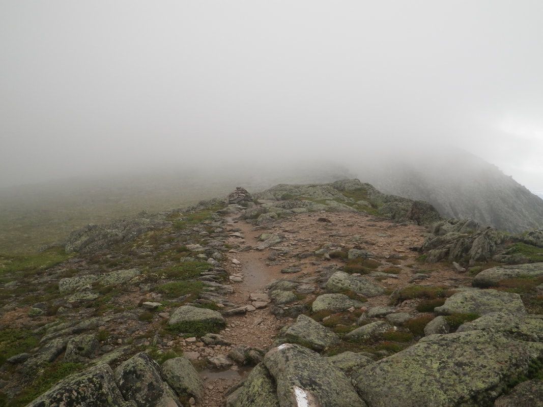
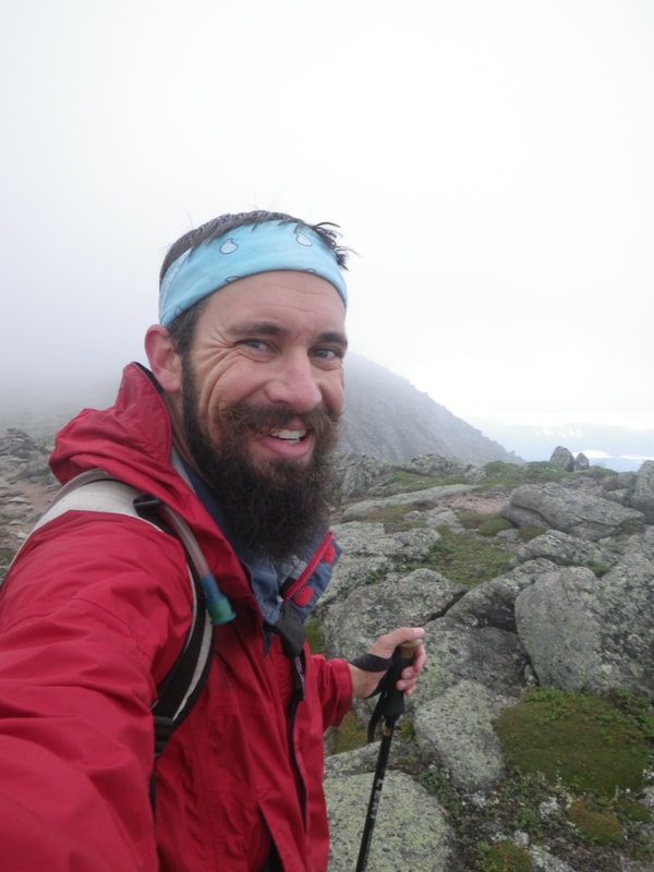
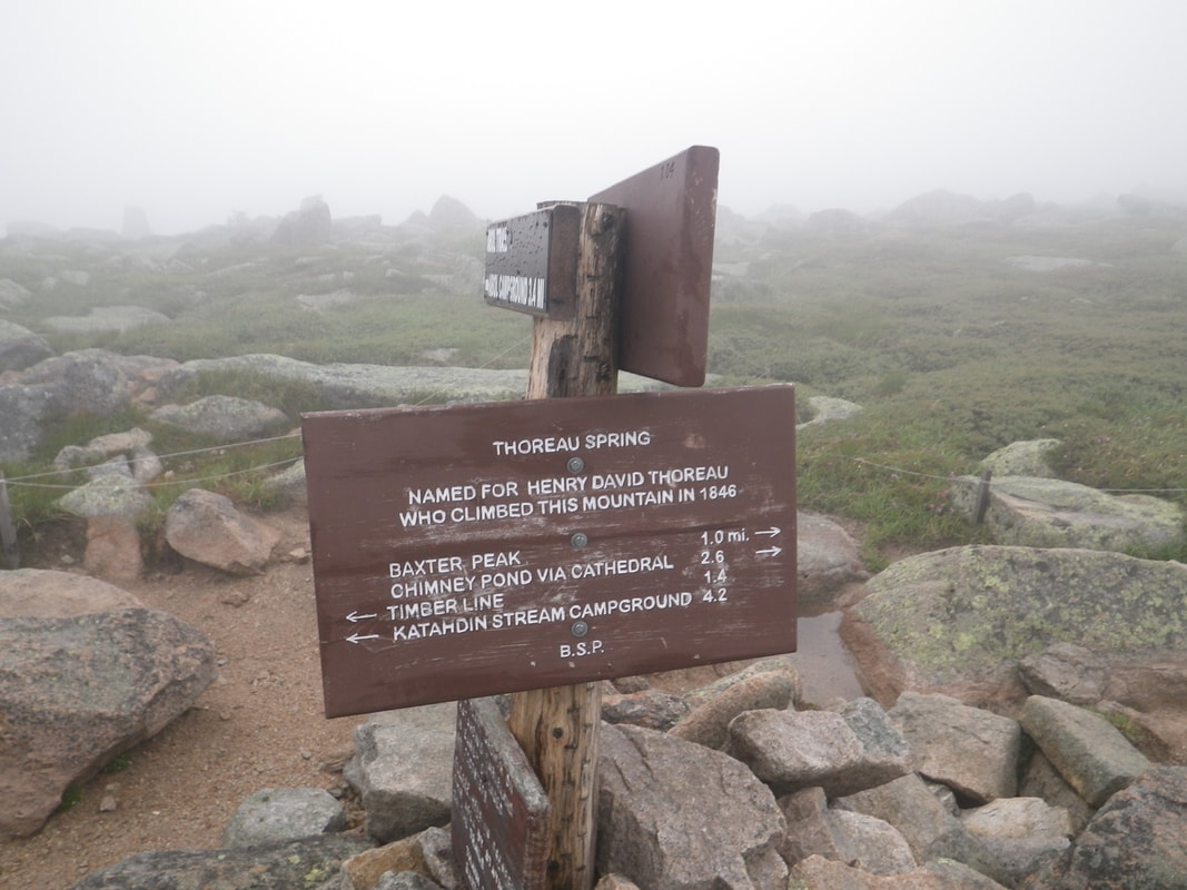
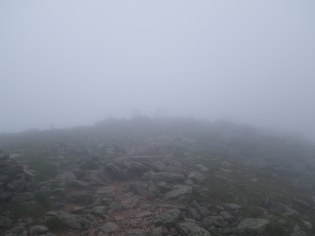
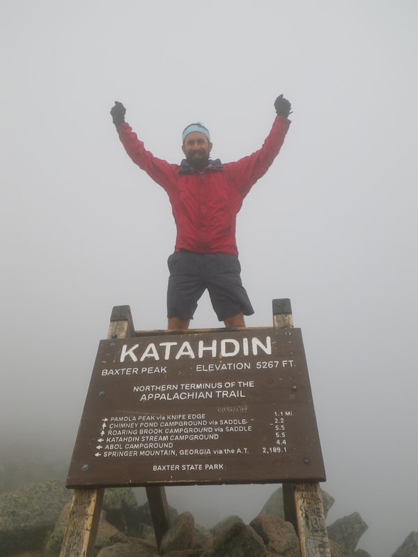
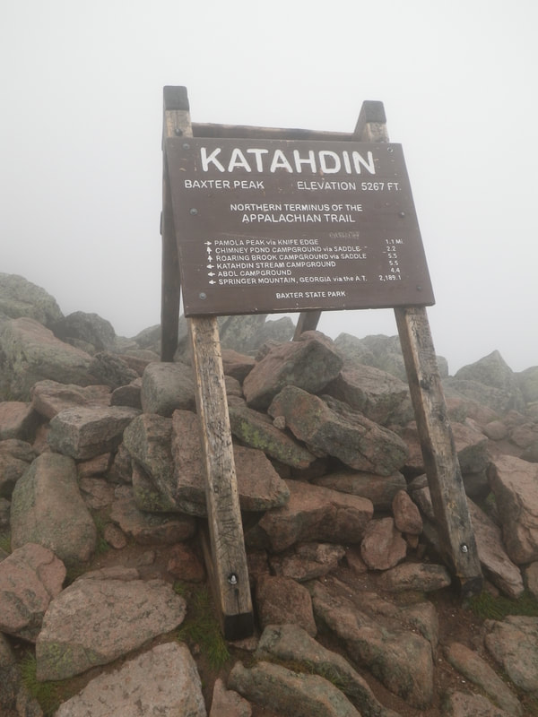
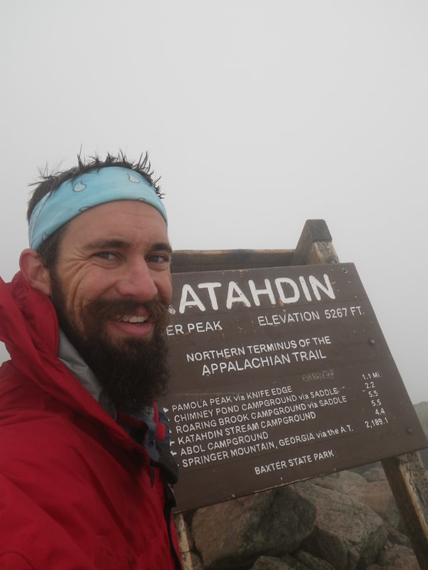
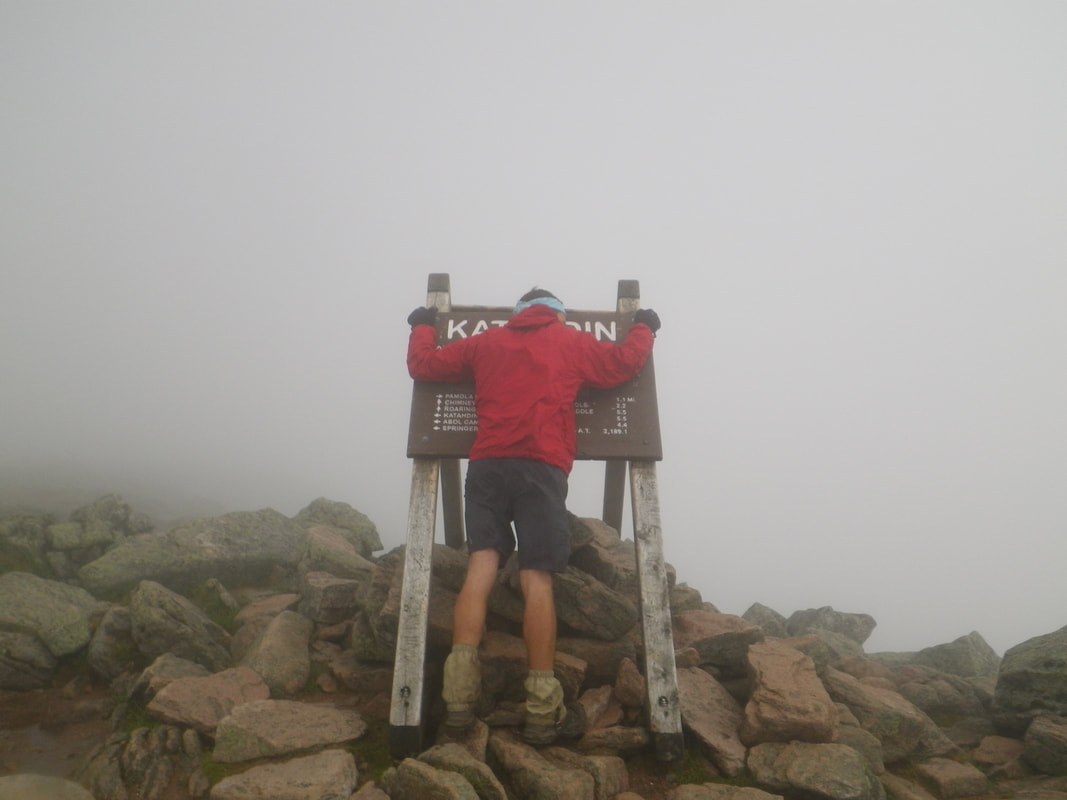
Welcome back to my 2017 Appalachian Trail journey. My last blog entry left off at the entrance to Baxter State Park in Maine...the end of the line for the AT! I've been section-hiking the Appalachian Trail since 2001, and 2017....brings me to the northern terminus. 17 years of hiking. This entry was emotional to type. Let's continue... Headed into Baxter. Maine's continual display of gorgeous waters. That blue tarp is my parents' campsite! You may recall from my last entry that they drove all the way to Maine to meet me and celebrate! I was able to camp with them one night just before heading into Baxter State Park. I left there this morning and the trail wrapped back around the water on the way into Baxter. I think they were over there drinking beer without me! Katahdin Stream flowing across the rocks. I was able to get across dry....with some clever footwork. This tree represents so much about the resiliency of nature. When a living thing decides it is time to thrive...nothing can stop it. I hope I can live this way. It's not Maine....without rain! This one was fairly short-lived. I came out to this clearing at the road to Daicey Pond. There was a kiosk here and the rain stopped, so I took an opportunity to dry out a bit and eat some lunch. They had the weather predictions for Katahdin posted! A lot of information here! It's always so hard to predict weather in the mountains though...especially on summits. I was headed there regardless, so in a way...it didn't matter too much. Baxter Peak (Mt. Katahdin summit)....7.5 miles. It was so surreal to have single-digits remaining. A peek at Daicey Pond. The clarity of the water was astounding. These two photos of the trail meandering through the trees, illuminated by soft sunlight, are very special to me. They seem so....accurate. Another of Maine's infamous water crossings. Those logs were bouncy, but they held strong and I remained dry again. The mosquitoes by this creek though...wow. At the road. The infamous Katahdin Stream Campground. Just across the stream is the ranger station and, a short walk up the gravel road, is the Birches Campsite for hikers. Katahdin Stream Ranger Station - This is where I picked up my summit permit and the customary day-pack for going up. Birches....my last campsite on the Appalachian Trail. Baxter State Park is very popular and has many roads to access specific areas. There is a gravel road from the ranger station to Birches....in fact, you just walk up it to get to the campsite. As I was in my tent, I heard a truck pull up (the road is about 50 yards from the site). I heard someone approaching and call out a friendly, "Anyone home?" "Yea...how's it going?" I replied. I wasn't sure exactly what tone to take...considering I was completely buck naked in my tent, attempting to clean up a bit before putting on my dry 'clean' clothes for the evening. "You want some bananas?" "Uhh...sure man...thanks. You can just set them down....I'm changing," was my ingenious response. I couldn't think of anything more witty! With that, a hand appeared just in front of my tent under my vestibule (that's like a porch....not a body part) and placed two bananas on the tent platform. So, I had a banana. I gave the other to some girls who arrived about two hours later. I left out some of the details surrounding the acquisition. It seemed best. The final morning, I got all packed up...and the rain began. Not too hard...just a steady mountain shower. Headed up Katahdin! The rain couldn't keep my spirits down! I was headed up after seventeen years! You can also kind of see the daypack I'm carrying. It is highly suggested to summit with a daypack and I took this advice. It was weird to move so swiftly and unencumbered...but I enjoyed the change, put the hammer down, and boogied up the trail. Katahdin Stream Falls I wish I had something to scale! this little guy was right in the trail on a rock and was barely larger than a golf ball. I'm not sure what kind of bird, and it isn't a great picture to identify, but he wasn't moving for me...so I let him be and went around. I hope he survived. The rain was letting up as I climbed. I was fortunate to start getting some views off of the mountain behind me! Another shot back over my shoulder on the way up Katahdin. Such vibrant greens! Out of the treeline and into the fun stuff! (There were also no mosquitoes up here so that ruled!) I'm glad this section was dry. The rain hadn't made it up that high, so I caught a break there. These rocks wouldn't have been as enjoyable if they'd been wet. The trail follows that ridge all the way up to the point. Infinite rocks...infinite climbing....infinite smiles. I was giddy. The clouds were rolling back up and over the ridge. I was about to end up right in the middle of them. But not without one more good view! I know it's a broken record...but there is SO much water in Maine! Entering the Tablelands. This is where the really steep climbing ends and the trail levels out to some degree. It was absolutely magical walking along this section, even in the clouds. I felt like I was on the moon. Continuing along the Tablelands. This section is similar in terrain to the Presidential Traverse in New Hampshire's White Mountains. The wind was fierce! My hands and face were really getting numb, but I was so excited to get to the summit, I knew I could make it before donning my gloves and beanie (yes, I'm aware this can be dangerous....I was monitoring and paying attention. I was plenty warm otherwise). Nothing but smiles as I near the end! There were no other hikers along the Tablelands with me....so other than the wind, it was quiet. I had it all to myself. Thoreau Spring - this is the most clear water I ever encountered along the trail. I found myself reaching down with my trekking poles on several occasions to see if there was indeed, water on the trail (there was...as the spring trickles right into the path). It was so hard to tell! The springs mark the last mile of the Appalachian Trail. Seventeen years of sweat and stench and joy and views and pain and mud and bugs and travel and life. One final mile. And Thoreau had walked it. Incredible. Right in the center....faint in the clouds....shaped like an A-frame tent... June 29, 2017 - Summited Mt. Katahdin - 9:35am. It took me 3 1/2 hours to reach the top. I loved it. Everyone's concern is that the summit is clear....as was mine. I waited at the top, tucked in behind a rock, out of the wind, for over an hour. It wasn't clearing up. I at tons of snacks and enjoyed the cold and the altitude and the memories. But...it wasn't clearing up. It wasn't until I was descending that I really contemplated my summit experience. I've always associated mountains with fog, mist, clouds, cold, and wind. Whenever the weather at home is like that, I always feel like I'm in the mountains. So, in retrospect, the summit being clouded and cold was fitting. I would have certainly taken it with clear views....but mountain weather does what it does. That's part of the draw....the magic. I'm okay with that. The clouds did drift away on my descent and I was able to get many great views, so no disappointments at all! (Those photos will show up soon on my post-hike blog....stay tuned.) Springer Mountain, Georgia - 2,189.1 miles....the other direction. Seventeen consecutive years of incredible experiences....and invaluable lessons.
It was worth the effort. From the bottom of my heart....thank you for reading, bc |
 RSS Feed
