|
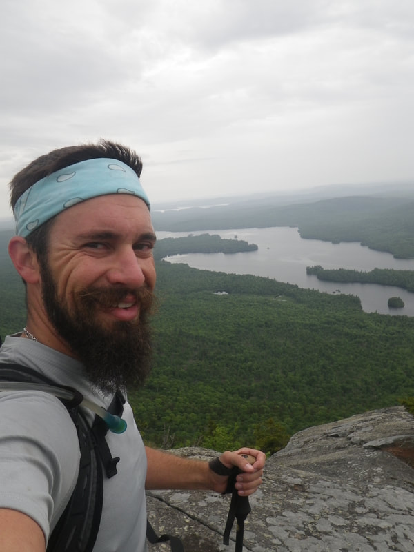
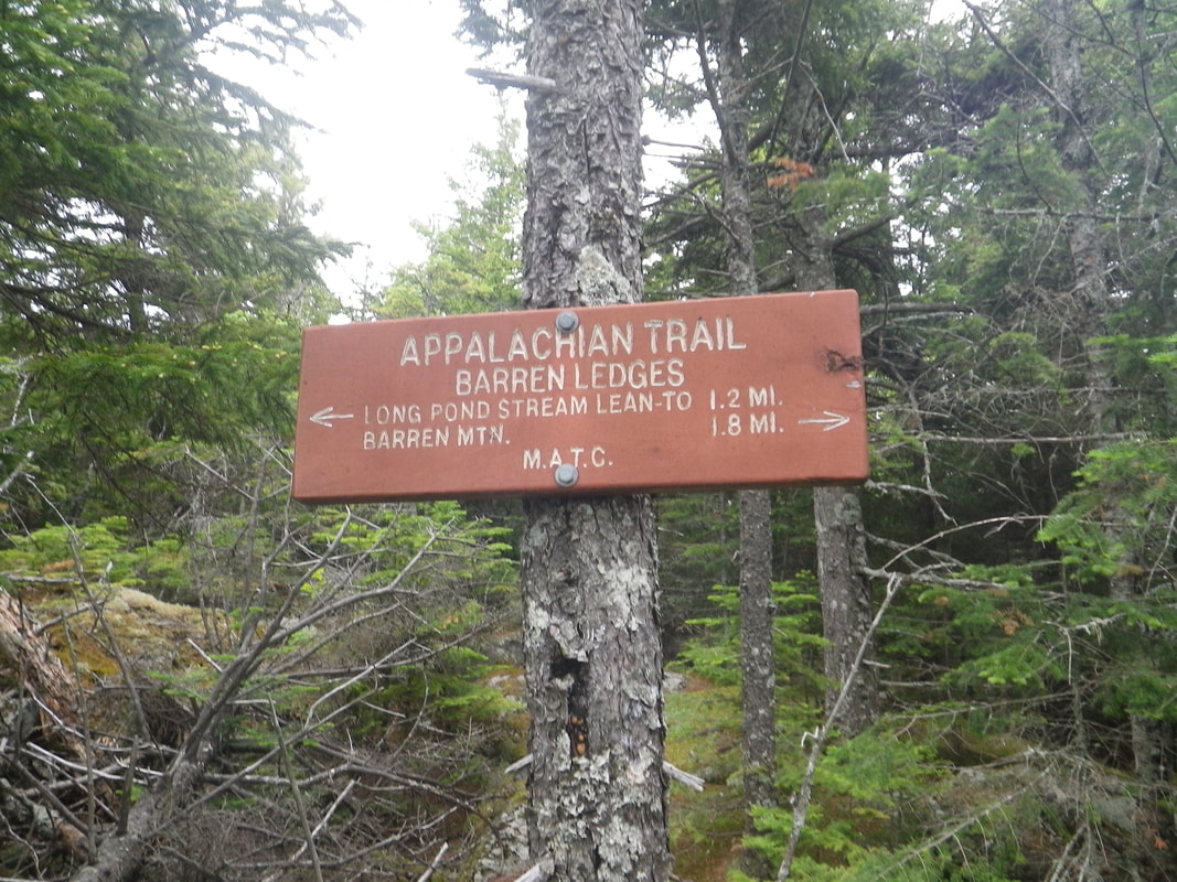
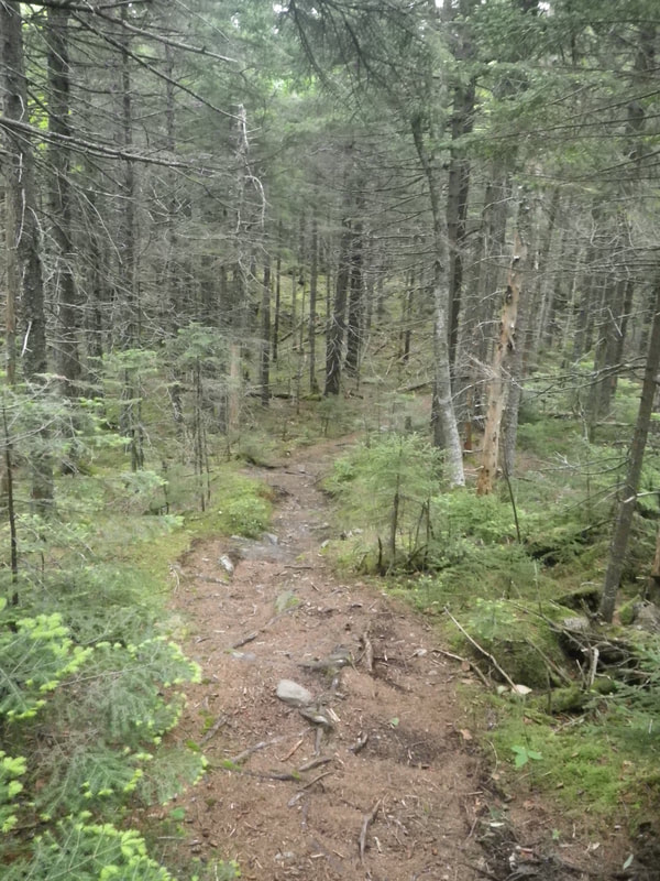
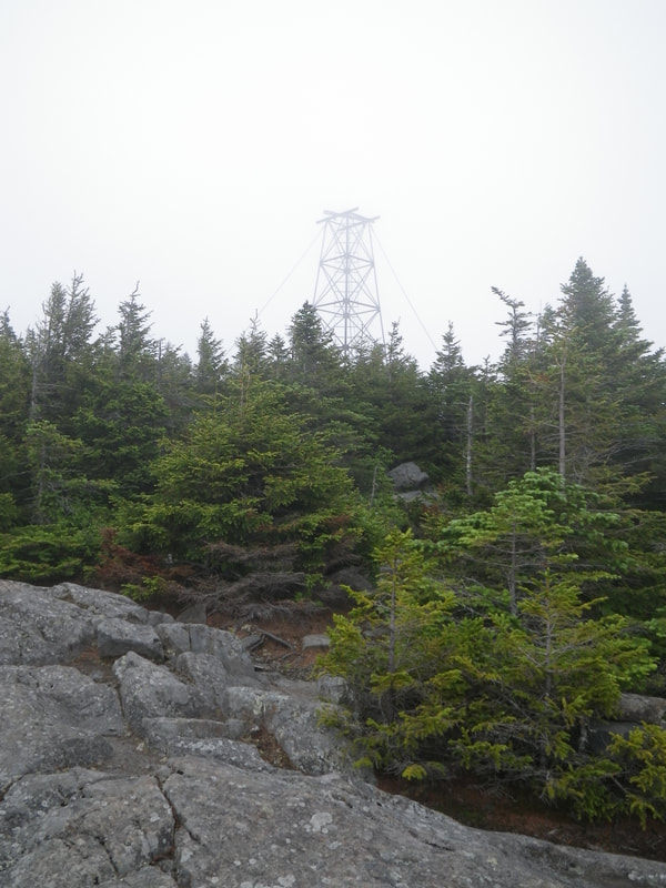
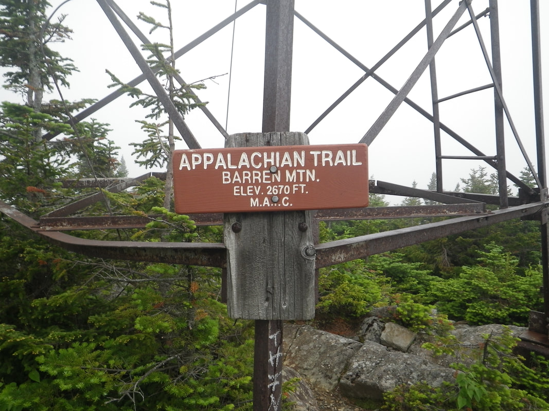
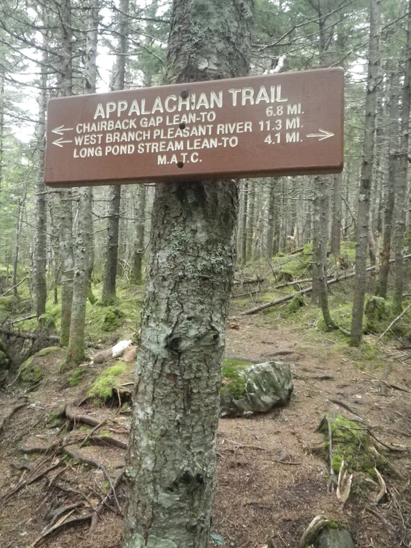
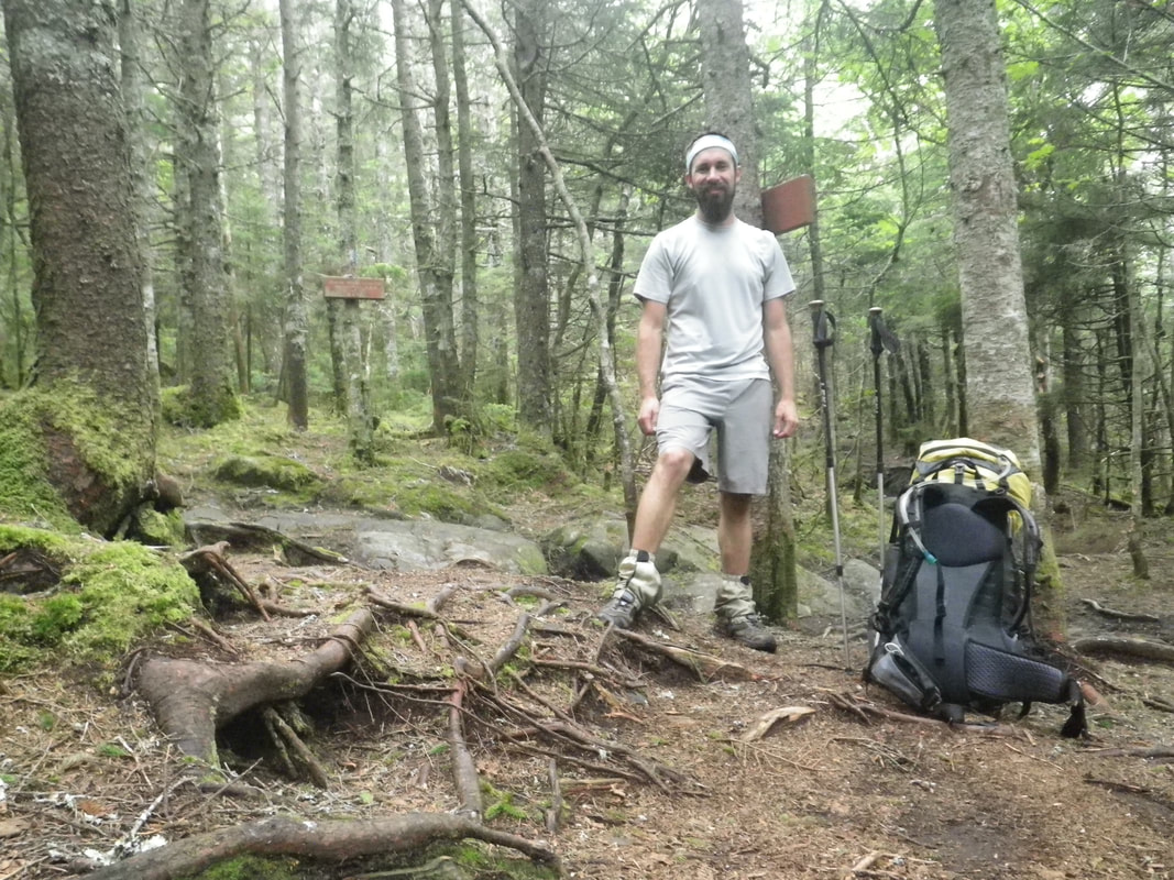
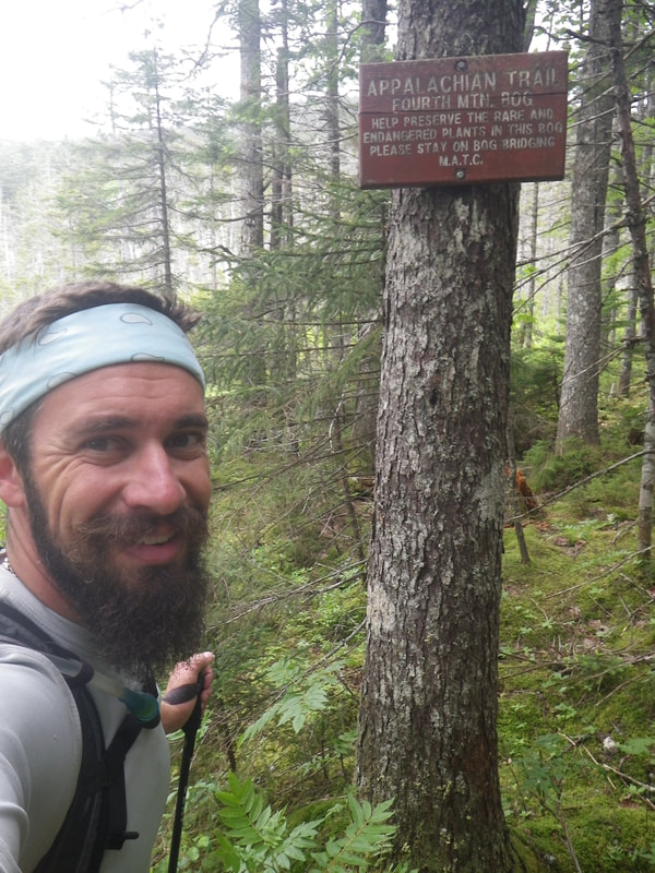
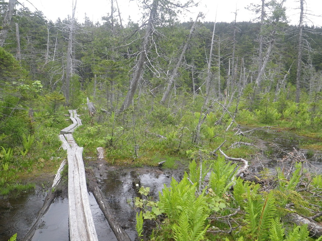
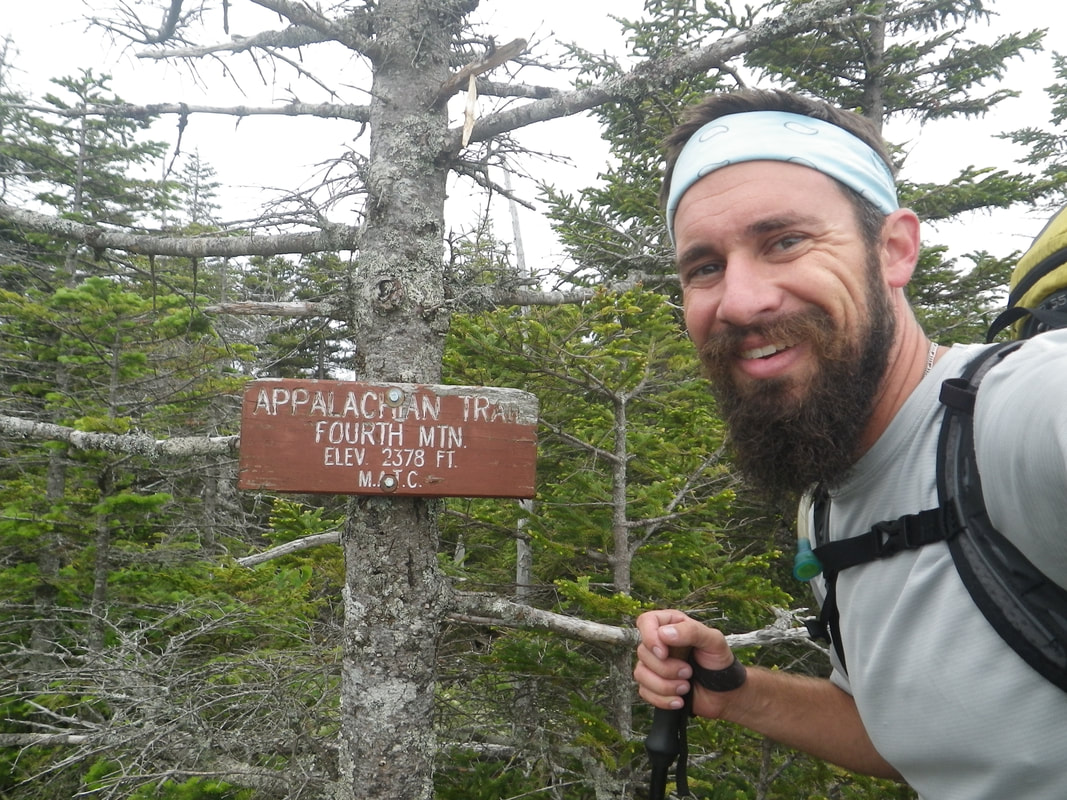
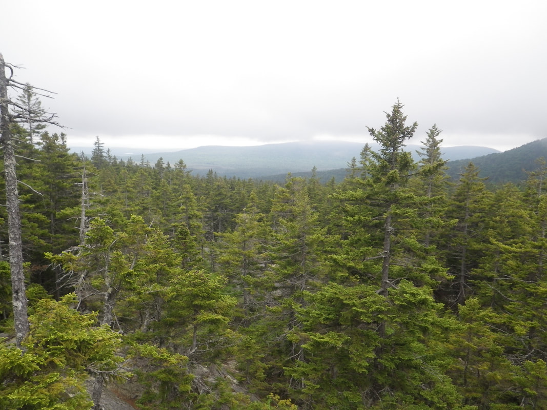
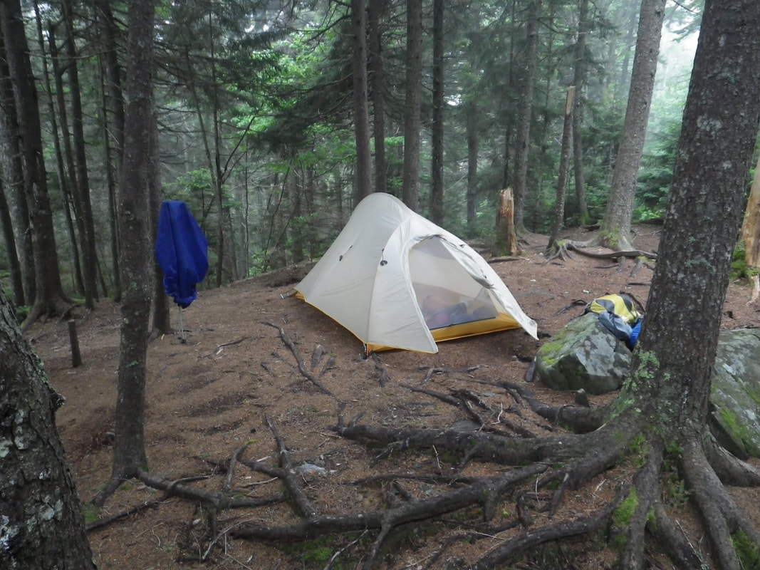
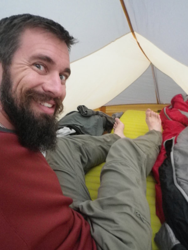
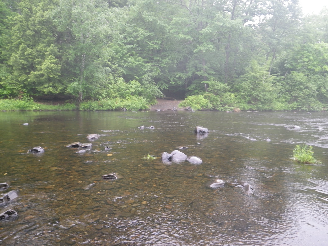
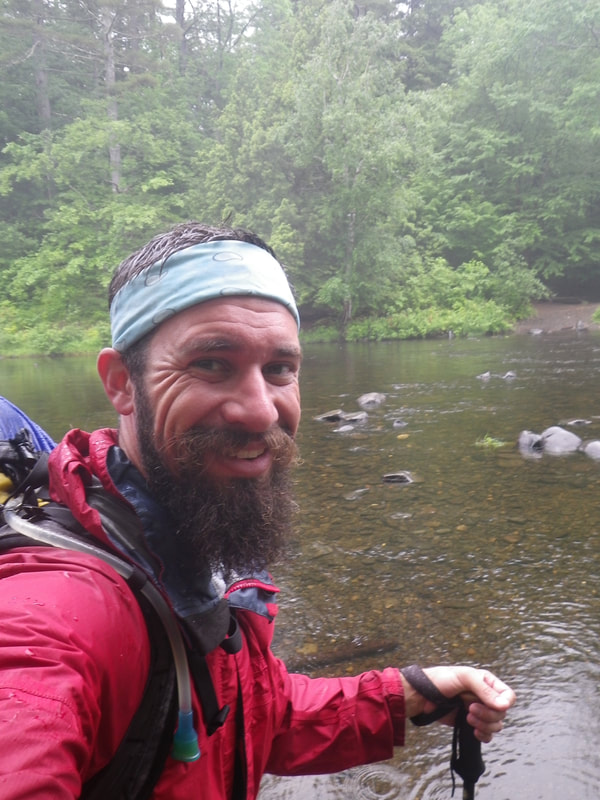
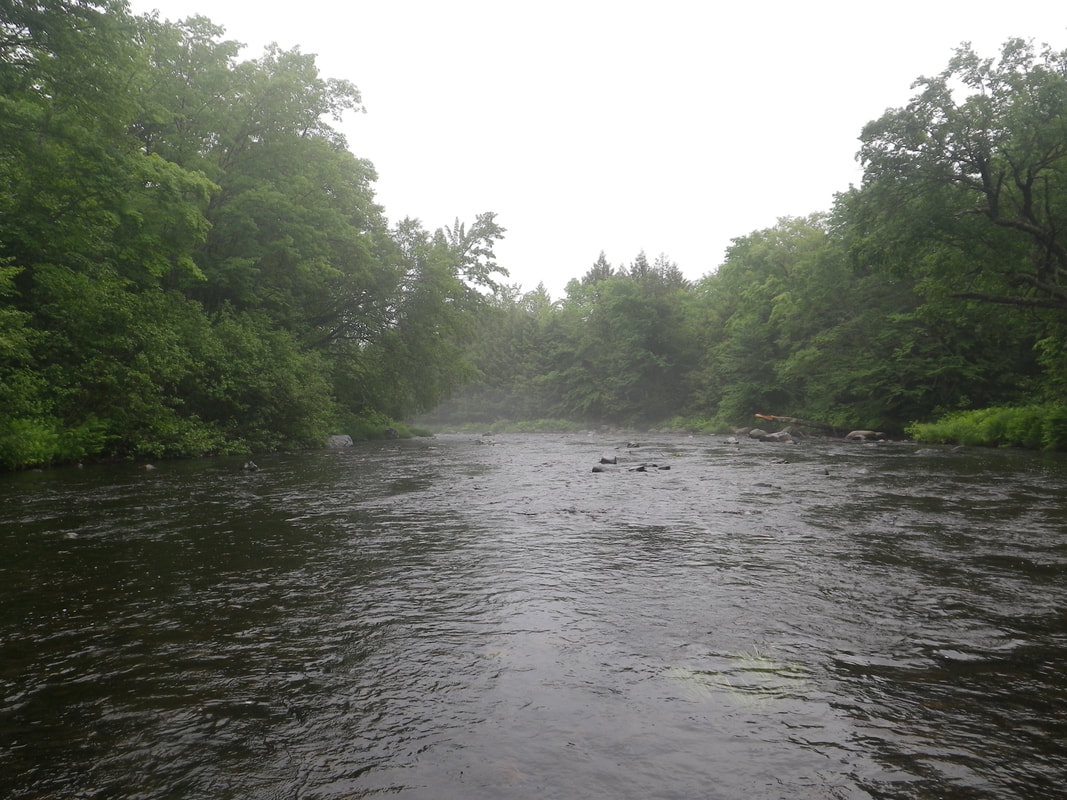
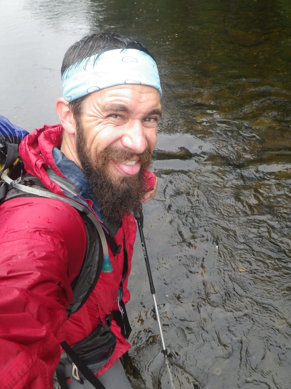
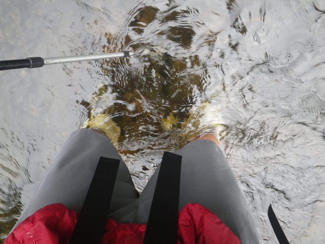
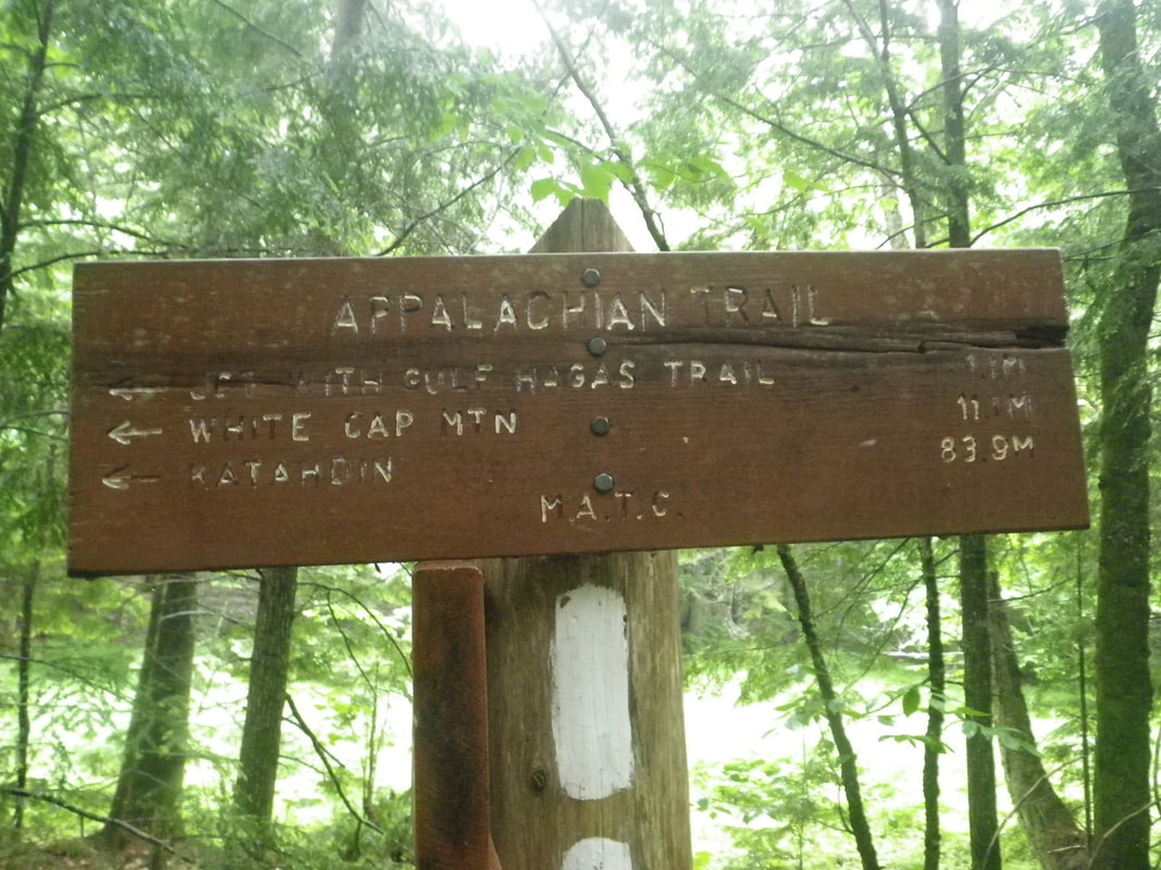
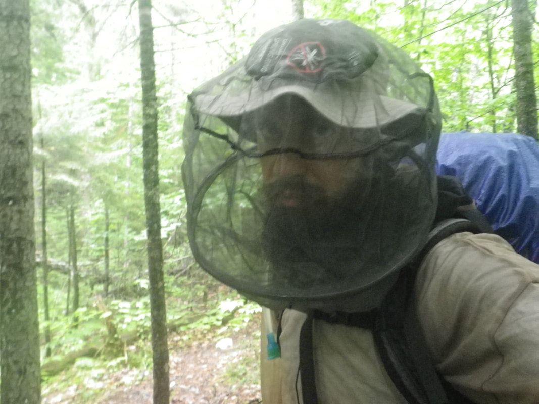
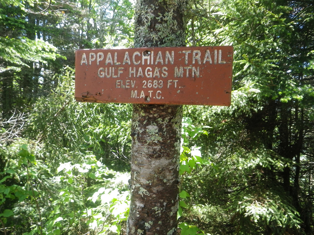
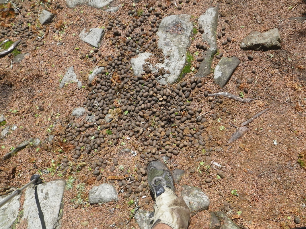
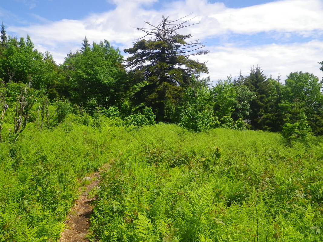
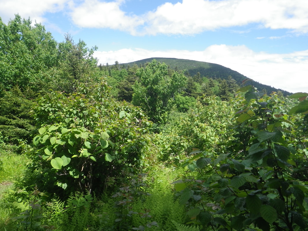
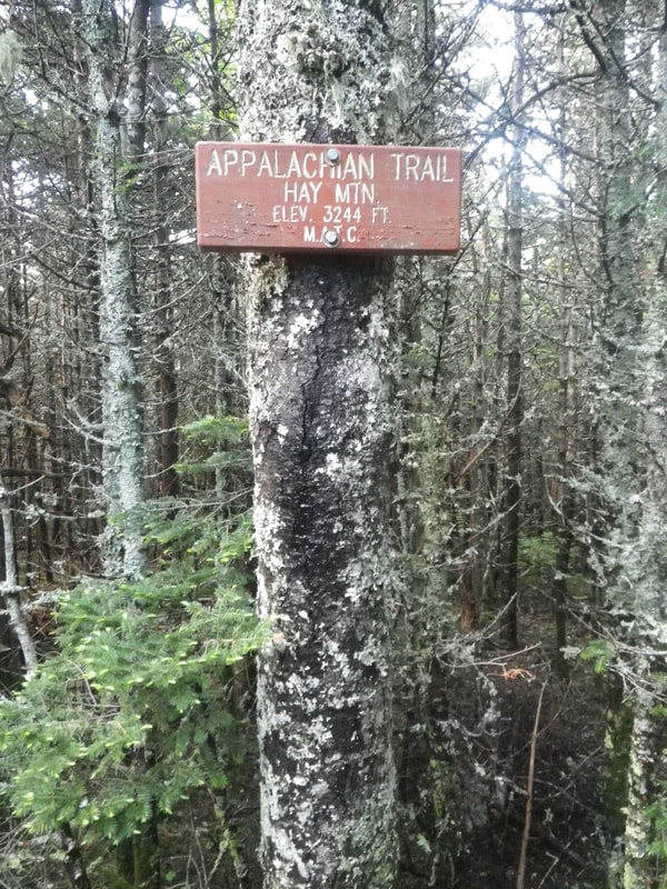
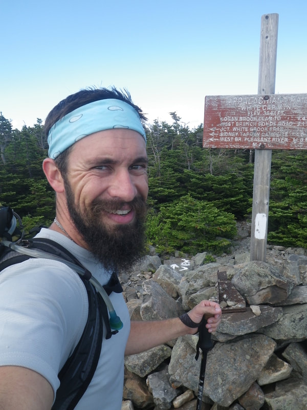
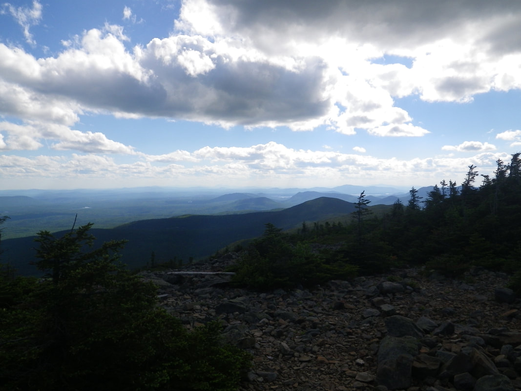
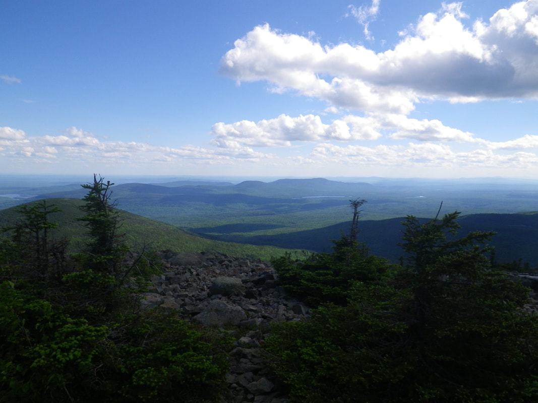
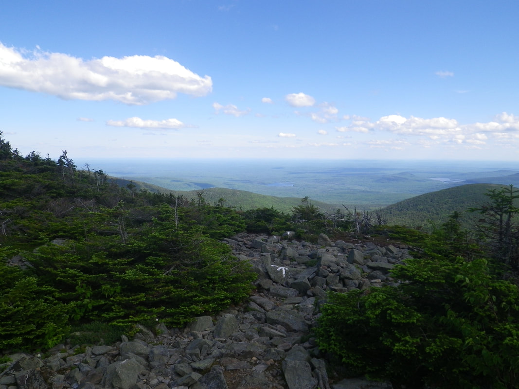
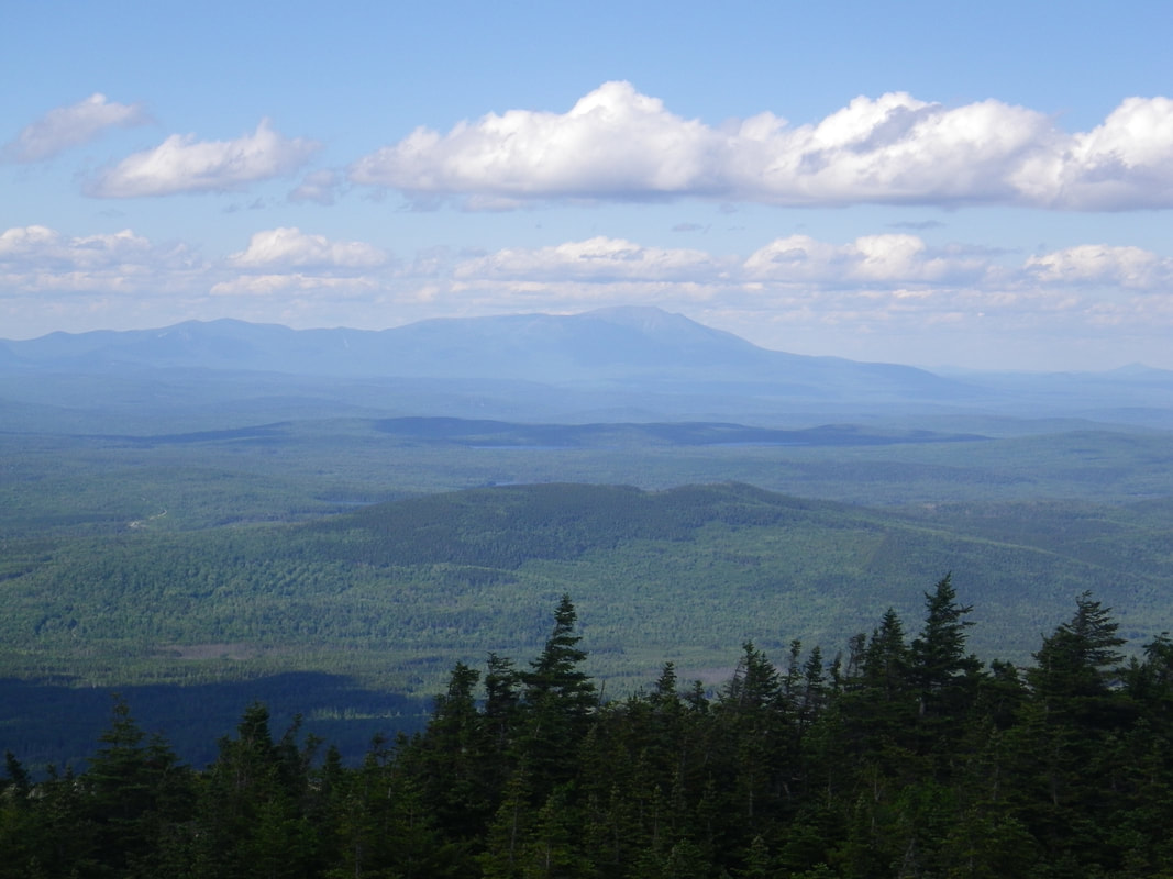
Welcome to the second installment of my 2017 Appalachian Trail hike. I'm breaking the trip down into several blog entries so if this is your first look, make sure you click back over to the first entry! My hair sure looks clean here. But we all know that looks are deceiving. Making my way up and across the Barren Ledges. I loved the exposure, the fog, and the evergreen lined trail. The AT presents such a diverse array of topography that you often change from one environment to another within minutes. Approaching an old fire tower. This one was a bit rickety to climb...even for me. Don't think for a second that I didn't start to though...but it was wet from the heavy fog...and though I vehemently subscribe to one of my favorite mottos, 'Safety Third'...I knew better on this one. I'm sure my mom is happy. The blankets of green moss are like carpet across the top of the ridge. It really muffles sound and creates a hushed environment...perfect for a quick break, a snack, and a photo pose that is CERTAIN to intrigue all you fine ladies... Entering Fourth Mountain Bog. Often these high gaps (the valley between two peaks - sometimes also called a saddle) hold water due to the topography, resulting in thick bogs that never really dry out. Fourth Mountain Bog can be seen below... Thankfully many bogs are maintained with bog bridges, similar to this one. The game begins though, as soon as you step onto the first log. They're usually slick (this one happened to be dry) and occasionally they are floating...which means once they're weighted....they sink. That's like....science or physics or something. When they SINK...you foot (that's anatomy) goes into the slop. Then you yell profanity into the lush forest to release your anger (that, friends...is psychology....I think...). Anyhow, tread lightly. Surprise! Just past Fourth Mountain Bog is Fourth Mountain. Some aspects of the Appalachian Trail are perfectly simpleton. Nice little view over the trees and into the fog. Squeezed in tightly between the roots. A peek inside the castle. I'm not sure what's up with that weird eye....maybe I was delirious from bog fumes or something. A little shop talk - my sleeping bag is a Marmot, is synthetic (insulates when wet), and is rated at 45 degrees. The model name escapes me, but I've had it a number of years, so it likely is called something else now (pretty common in the outdoor gear industry). It is light and packs very small. My sleeping pad (yellow) is the very first model of the Therm-A-Rest NeoAir series. I picked it up years ago when they first landed on the market and I've never regretted spending that money. It sounds like a bag of Fritos anytime you twitch, sneeze, roll over, sneeze, fart, or make any movement beyond blinking...but I sleep great on it, it packs small, and I can inflate it without hyperventilating. Therm-A-Rest has since released many different versions, but I have no reason to replace this one. Have you driven a ford lately? Fortunately it was raining....so I managed to not only get my feet wet, but to get my head wet too. Looking downstream....from in the stream. Not super deep....but water knows no boundaries. Narrowing the gap to Katahdin! 83.9 miles remaining. I thought this old sign was really cool too! I'm a little surprised it hadn't been replaced already. The MATC is pretty on top of things regarding their sign maintenance along the trail. The rain let up...and then...nothing really needs to be said. Up on Gulf Hagas. It is easy to read elevation signs in Maine (and really the bulk of the AT) and think that because they're not 10,000 foot mountains, that they're not 'mountains.' I can assure you, when you're on foot, that elevation number becomes a lot more real. Free snacks up on top! I only ate three. Ferns appear all along the trail from Georgia to Maine and never disappoint. Headed up! Summit of Hay Mountain. Haaaayyyyy!!!! Reached the top of White Cap Mountain! The following shots are some views from the summit... But the best is the one below... Yep....that's the one. Mt. Katahdin. The northern terminus of the Appalachian Trail. Baxter Peak as it is sometimes referred. The end of the journey. Well...the end of the physical journey. I sat on top of White Cap for a time....because now it was undoubtedly real. Seventeen years chasing a name on a sign, of being wet and tired, of hurting so good that it draws a sly grin, of flights, shuttles, and hostels, of hunger, of filth, of joy and hurt, of thankfulness for strong feet and able body, but most importantly...of always ALWAYS traveling along a linear path without looking back, without fear or regret, and without self-doubt....in the woods....and in life.
Thanks for reading, supporting, believing, or whatever else you've done. You are important to me. Check back for more soon! bc Comments are closed.
|
 RSS Feed
