|
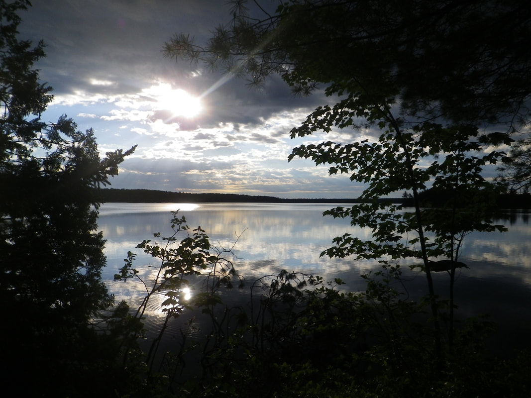
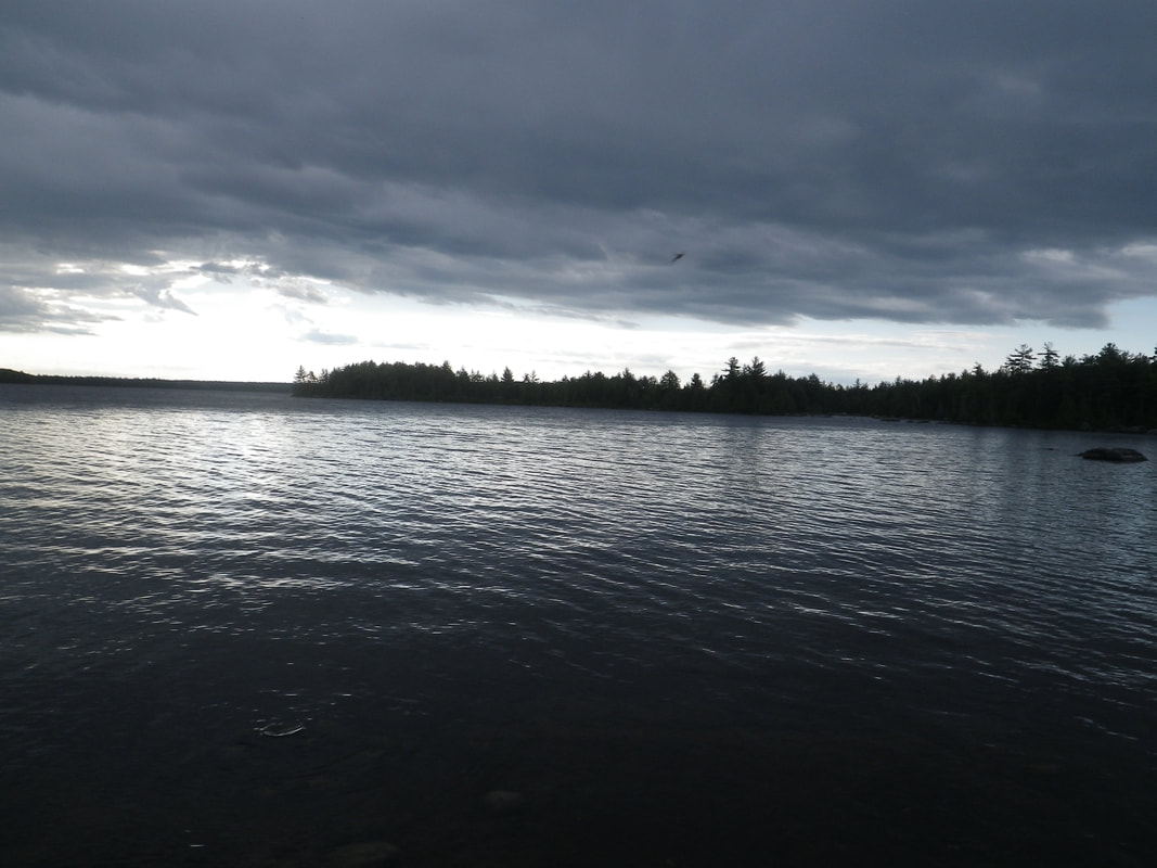
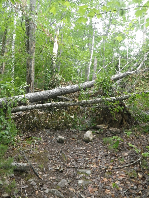
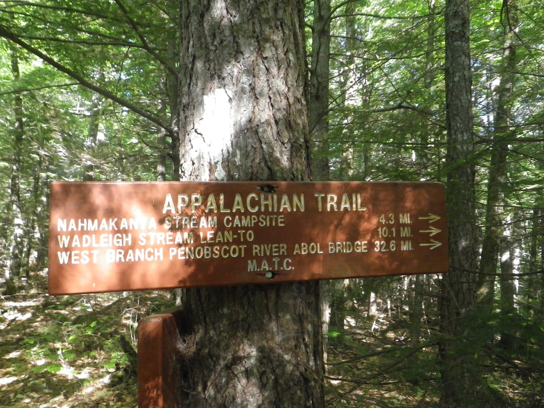
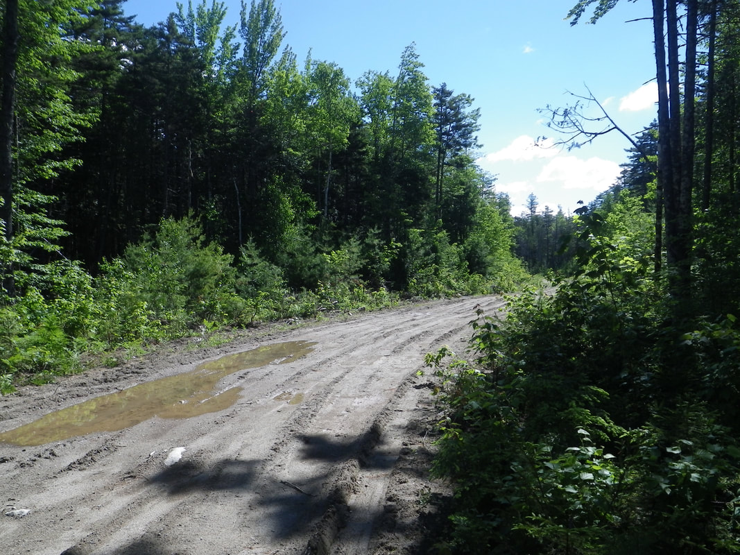
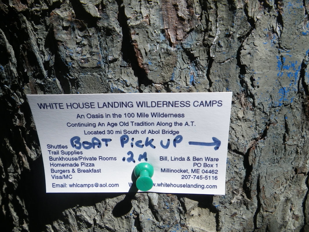
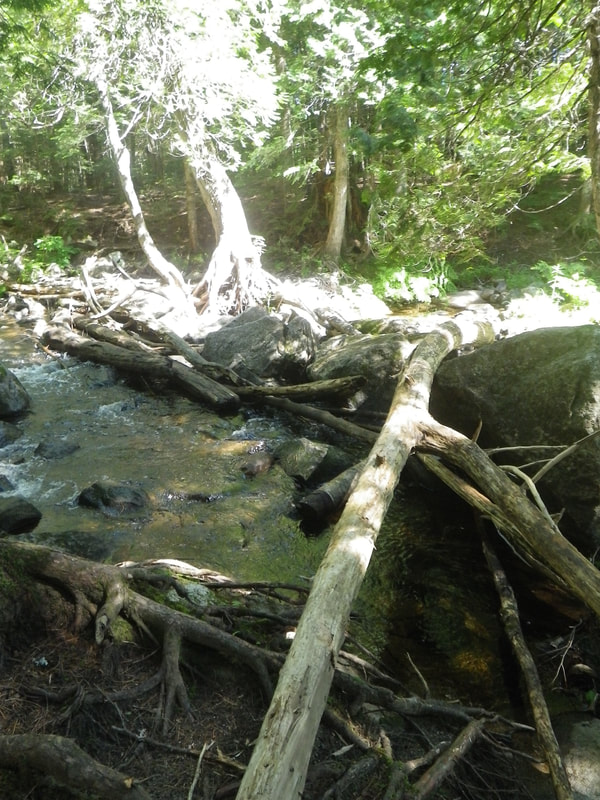
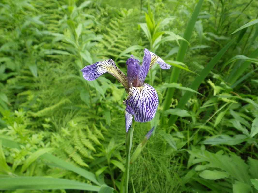
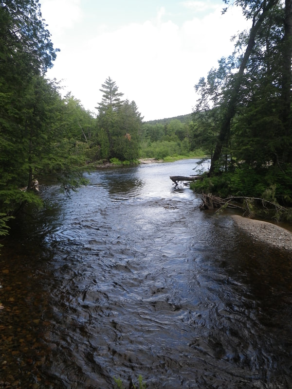
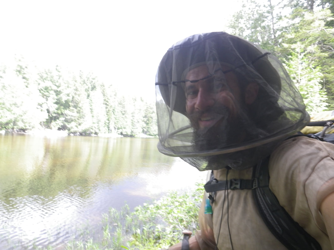
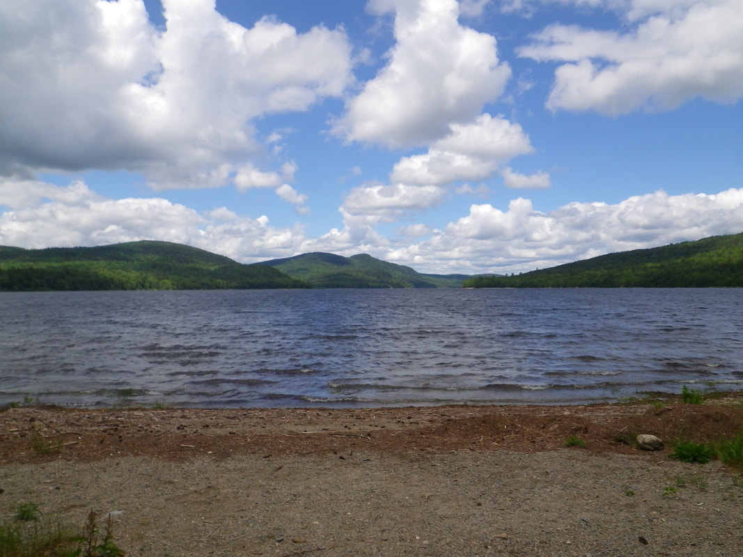
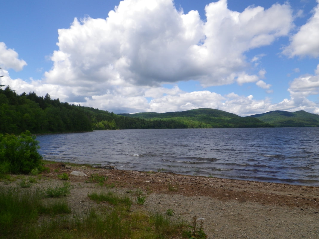
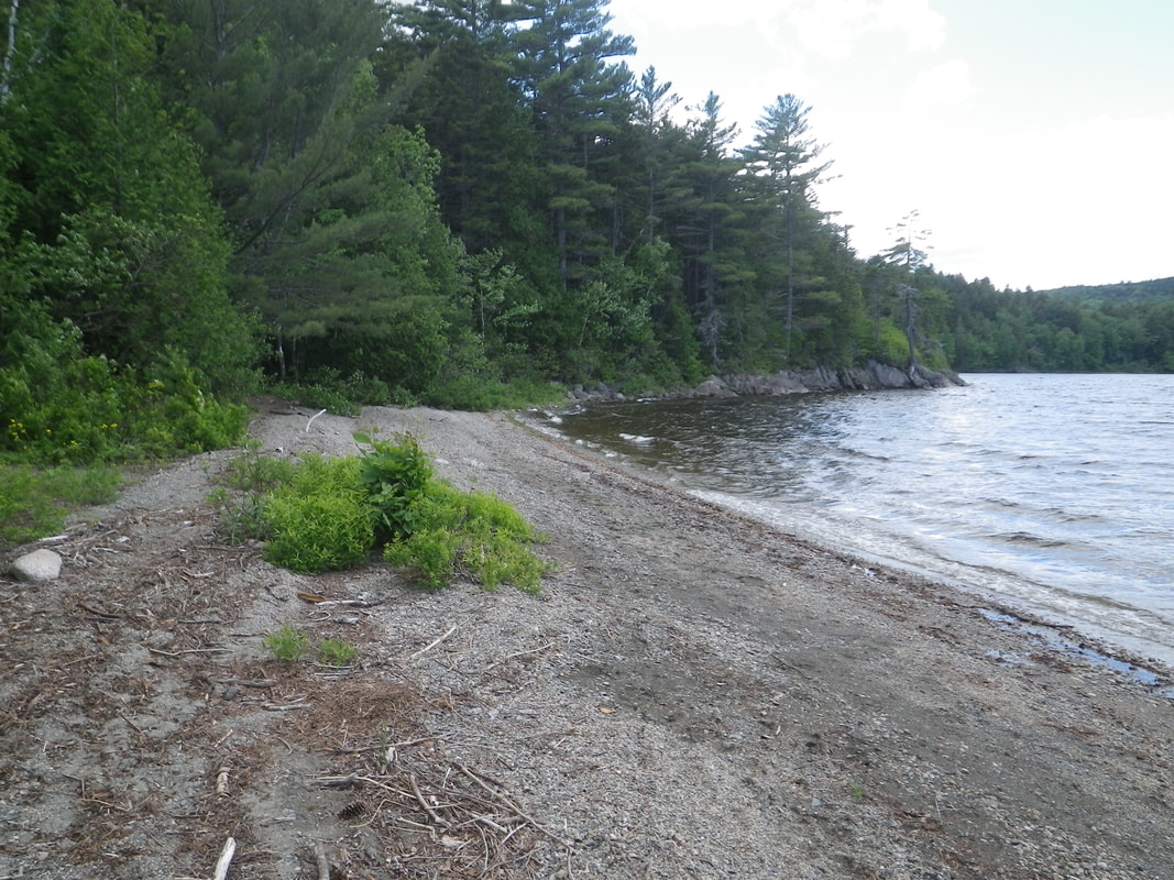
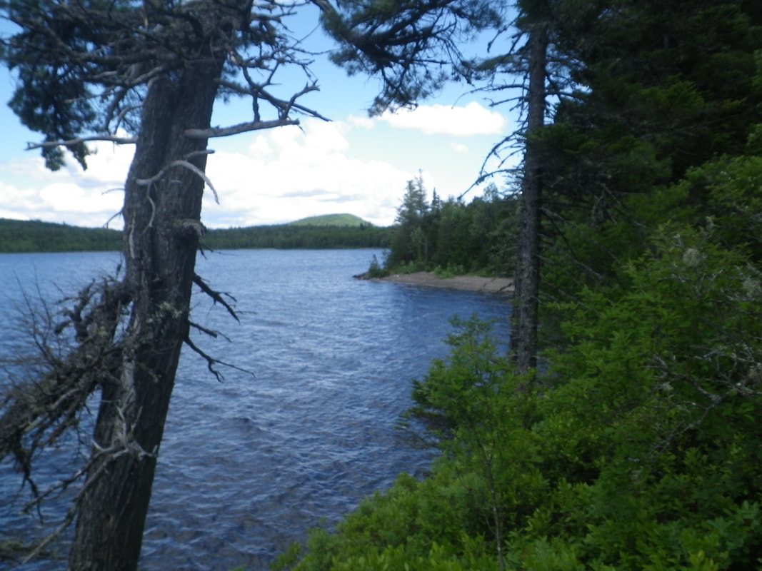
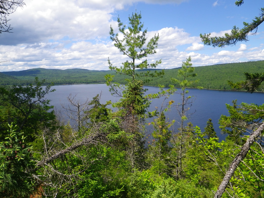
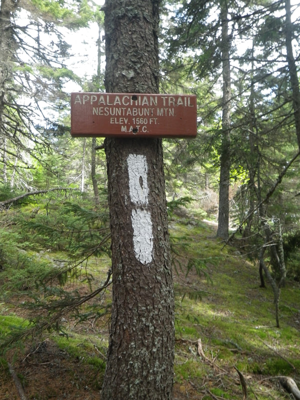
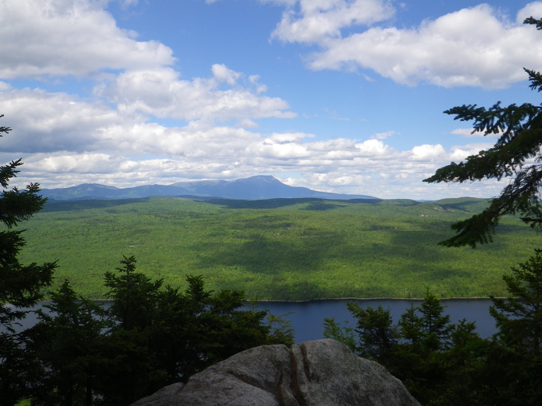
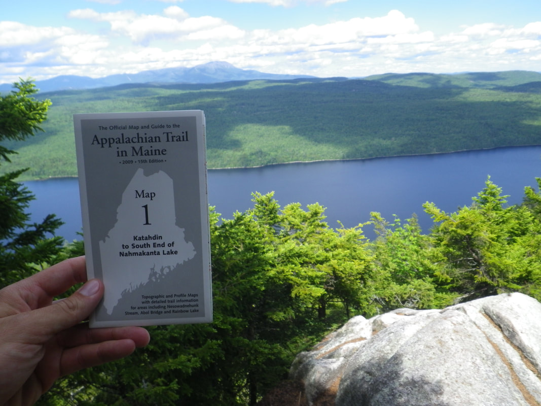
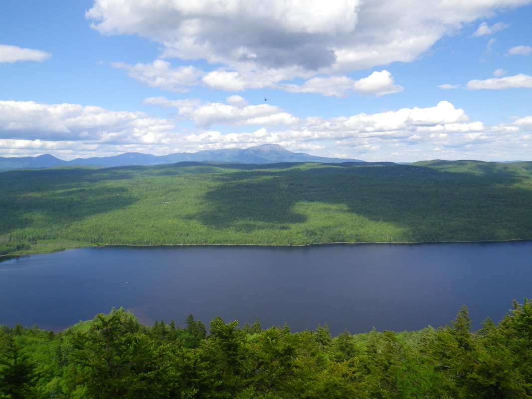
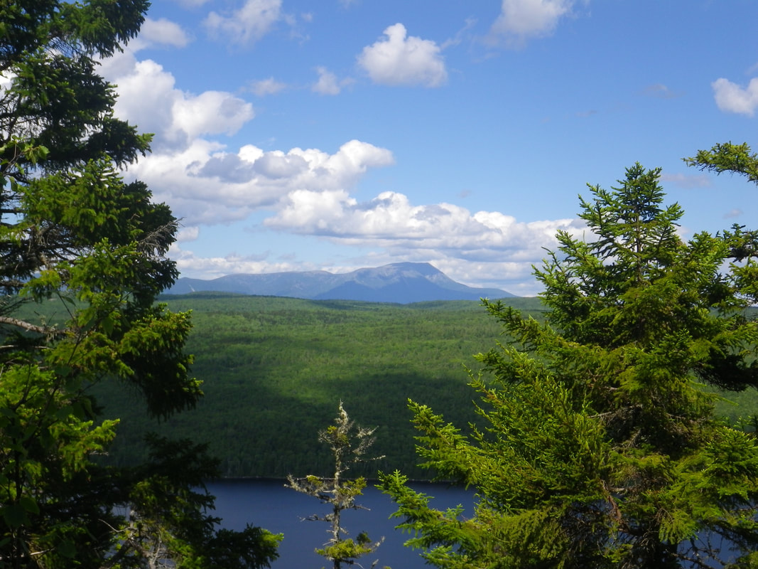
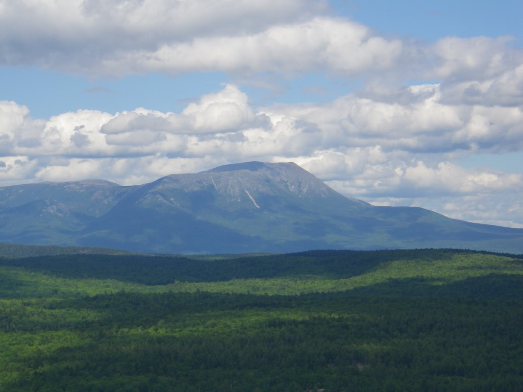
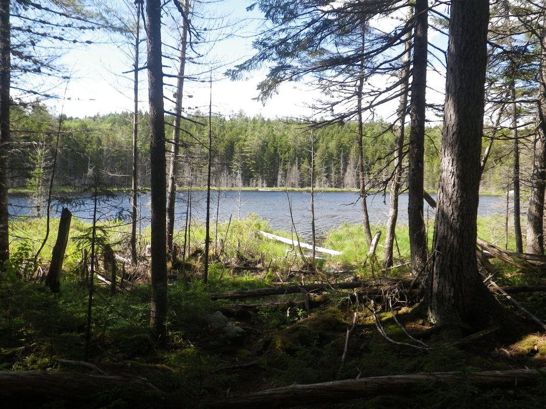
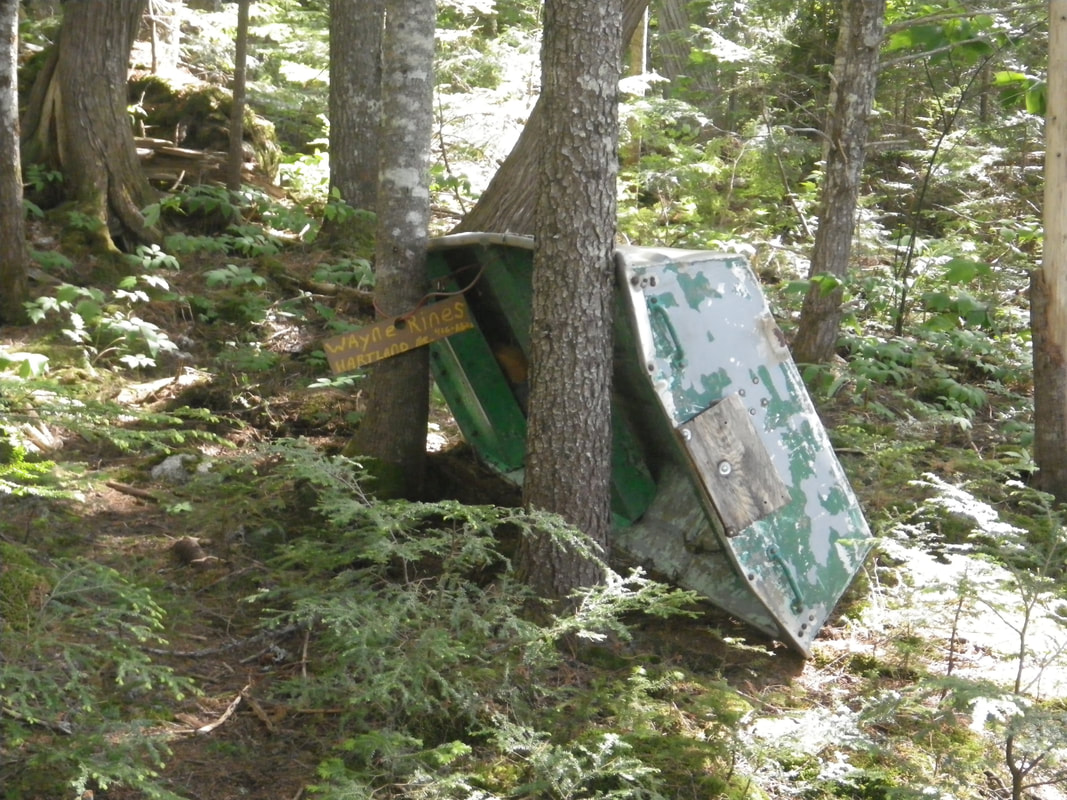
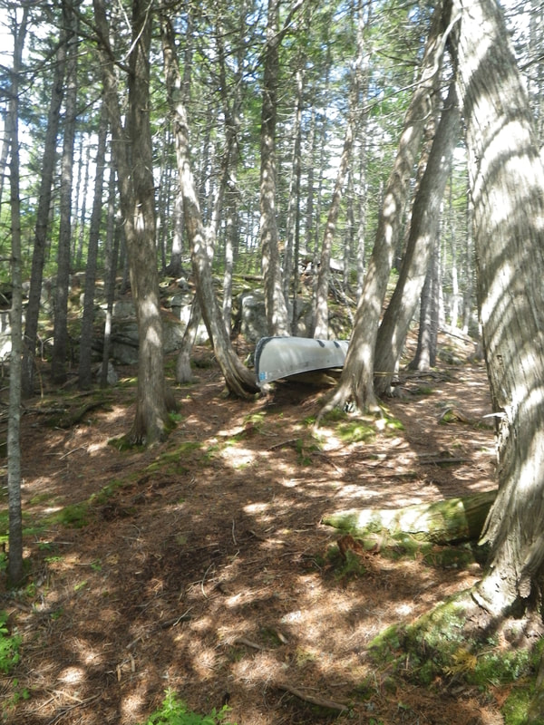
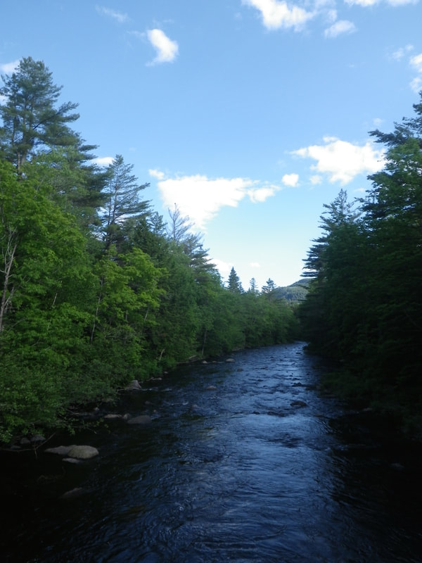
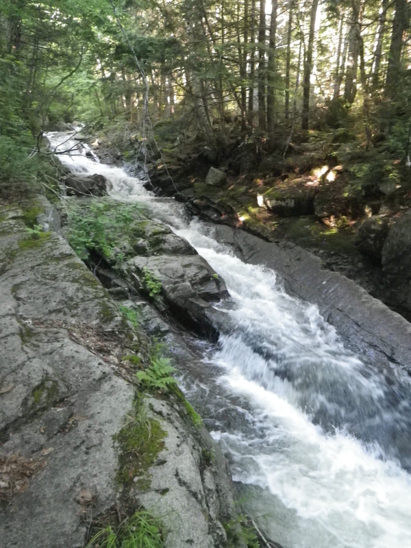
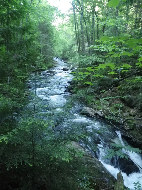
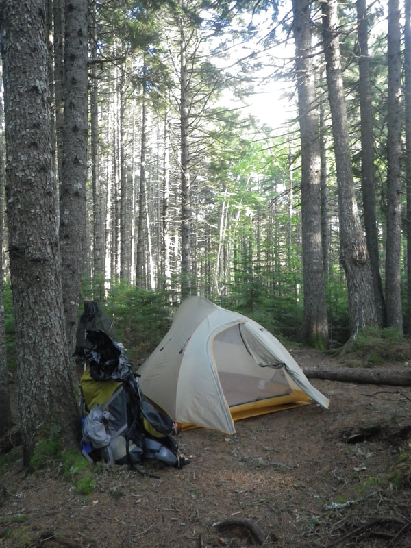
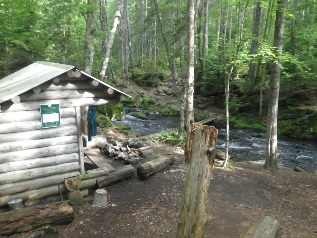
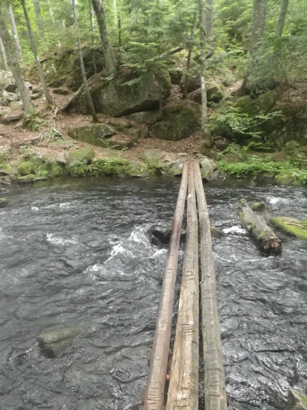
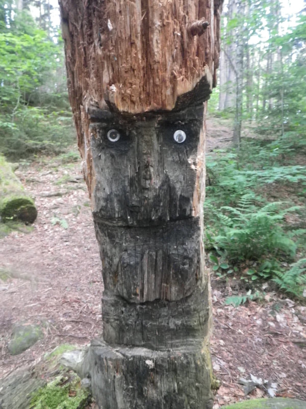
Welcome back to the Appalachian Trail portion of the blog. If you're still catching up, click here to jump to the first entry....or...hopefully....you're a regular...and all up to snuff on my blundering through the forest. I last left off at the Antlers Campsite on Lower Jo-Mary Lake. The UFO in the shot below.... ....yep....mosquito. No surprise whatsoever. There were quite a few blowdowns in this area of the trail. I'm glad I wasn't around for the storm that took down so many trees. Side-Story: I was in a particularly wicked storm in the Smoky Mountains in 2002. My buddy Bryan had come out to hike with me and we endured a gnarly storm overnight that took down some hefty trees. I've been through countless storms in tents, on trails, motorcycles, bicycles, etc. and have a few that really stand out. That was one. I'll never forget the crack of splintering trees, the pitch black interrupted by frequent flashes, and the wind that took down giants around our tent. I clearly remember thinking 'I guess this is how it ends...gooshed in a yellow tent.' That was at Birches Campsite just north of Fontana Dam. Thankfully the trees fell around us...and nothing more. Motoring on towards Abol Bridge. Just a muddy logging road. I wasn't able to make it over to White House Landing due to necessary mile busting, but it is supposedly a neat experience! You go out to the edge of the lake and they come across in a boat, pick you up, and take you to a whimsical land full of the above-mentioned food. Hikers can be won over with food veeerrrryyyy easily. "Thank goodness for this log!" - my feet My mom loves flower photos. I'm down as well. Mas agua... So happy to have the bugs all around!! The next portion of the trail was one of my favorites this year! Nahmakanta Lake was absolutely stunning. There was a great log on this gravel beach, so I sat on it and had a leisurely lunch, taking in the breeze from across the lake. The trail left the beach for the woods, then followed the shoreline for a while before climbing up high onto the ridge. I passed on the swim. The trail actually went along the beach several different times. It provided a nice break from the trees and let the breeze do some more work. Heading up towards Nesuntabunt Mountain. Nesuntatatatnanbububunntttt? I couldn't say it but definitely walked alone through the woods trying to....aloud. Some views across the lake....towards Katahdin. This moment tugged my heartstrings. Passing the gravel beach on the lake moved me onto another map. The final map. After 17 years. The last one. I spent a bit of time here....absorbing everything....anything. Later I passed this fun little pond.... ....and found Wayne's boat. Found his buddy's canoe too. So much great water in Maine! Camp was at Rainbow Stream Lean-To. Slept in the Taj Mahal as usual. Rainbow Stream was aptly named; vibrant yet deep, great flow, well-timed. Just...gorgeous. Across this log bridge and to the left was the best swimming hole in the Hundred. I peeled off the nasties and took full advantage of the deep frigid water. So refreshing....and necessary. As a bonus...someone turned this old tree stump next to the shelter...into a tiki man. I thought he was awesome. Onward friends....
Thanks for reading. Closing in on Mt. Katahdin! Stay tuned.. bc Comments are closed.
|
 RSS Feed
